Old Maps of Edom, Texas for Hiking & Exploration
Hike through history with 30 historic maps of Edom. Explore old trails, ghost towns, and forgotten backroads — perfect for outdoor adventurers and local explorers.
- Rediscover forgotten places: Map out old mining camps, roads, and footpaths that no longer exist on modern maps.
- Layer with modern tools: Combine with LiDAR or satellite views to plan hikes through historical terrain.
- Made for exploration: Popular among hikers, overlanders, and local history lovers.
Use these maps to find adventure and explore the hidden past of Edom.
Edom, TX maps
(30)- 1948 Map of Brownsboro, 1966 Print
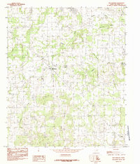
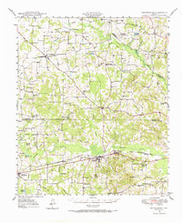 1948 Brownsboro1966 Print · USGSHenderson and Van Zandt counties appear here in the late 1940s as a landscape of rural schoolhouses and family cemeteries along the St Louis Southwestern rails. Genealogists can locate family landmarks like Old Norwegian Cem, Smith Chapel, and Prairie Springs Cem.
 - 1949 Map of Brownsboro
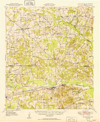 1949 Brownsboro1949 Print · USGSEast Texas at the end of the 1940s reveals a network of railroad towns and oil fields at the Henderson and Smith county line. Genealogy researchers can trace local family roots through sites like Old Norwegian Cem, Sexton Chapel, and Arc Ridge Sch.
 - 1956 Map of Tyler
 1956 Tyler1956 Print · USGSEast Texas was a powerhouse of oil production and rail transport during the mid-fifties, centered on the sprawling East Texas Oil Field. Researchers can trace the heritage of industrial hubs like Kilgore, military sites such as the Longhorn Ordnance Works, and many rural landmarks like Mount Enterprise.5 unique versions available
 - 1984 Map of Tyler
 1984 Tyler1984 Print · USGSEast Texas at the peak of its reservoir-building era shows a landscape defined by new lakes and established rail corridors. Trace the path of the St Louis Southwestern RR or locate industrial sites like the Longhorn Ordnance Works.3 unique versions available
 - 1984 Map of Brownsboro
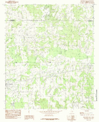
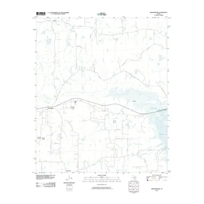
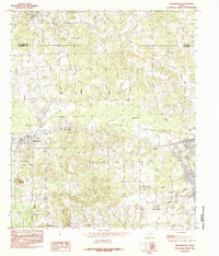 1984 Brownsboro1984 Print · USGSThe rural Henderson County landscape near Brownsboro is shown here in the mid-eighties as modern reservoirs began to reshape the local terrain. Genealogists and local historians can trace family-named sites and vanished landmarks from Union Hill and Cottonwood to the shores of Lake Palestine.
 - 1984 Map of Carroll
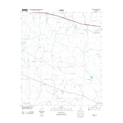
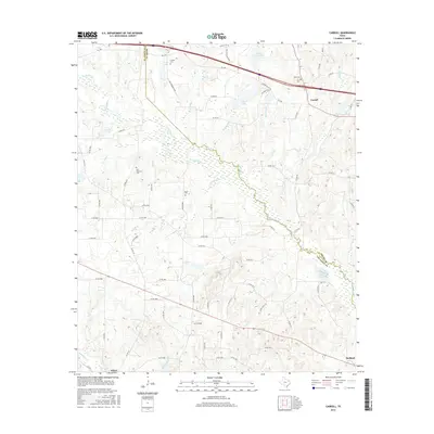
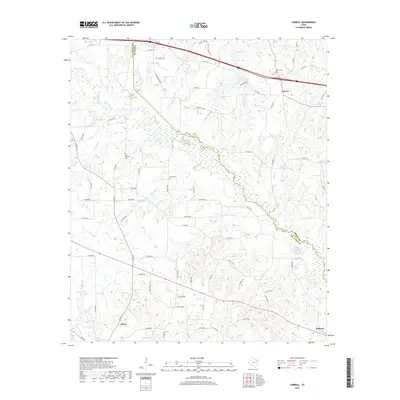
 1984 Carroll1984 Print · USGSThe Van Zandt and Smith County line in the mid-1980s is defined by the winding Neches River and rural crossroads. Local researchers can trace family lands near Carroll, find early water sources at Butler Lake, or locate the old Gravel Pit workings.
 - 1984 Map of Ben Wheeler
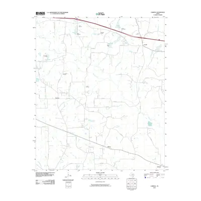
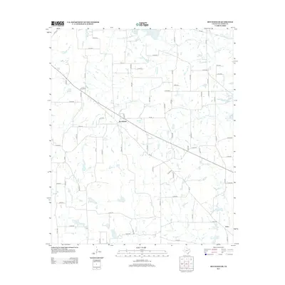
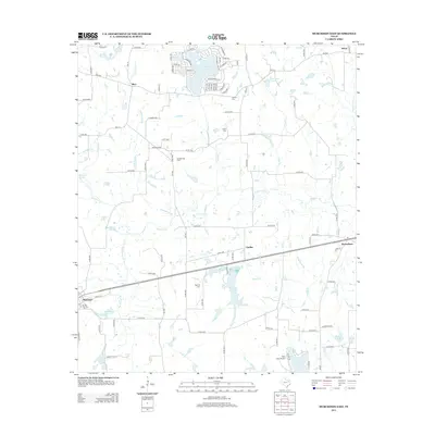
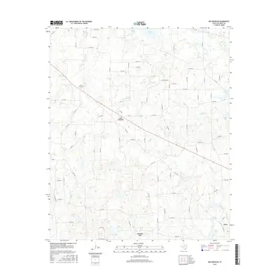
 1984 Ben Wheeler1984 Print · USGSVan Zandt County in the late seventies and early eighties remains a quiet landscape of rural settlements and winding waterways. Genealogists and local historians can trace the foundations of Ben Wheeler and Edom, alongside landmarks like Bethlehem Ch and Carter Spring.
 - 1984 Map of Murchison East
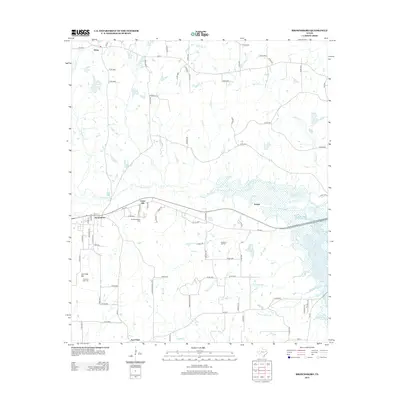
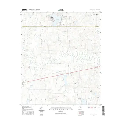
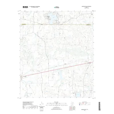
 1984 Murchison East1984 Print · USGSHenderson and Van Zandt Counties were transitioning through a period of rural industrialization in the mid-1980s. Local researchers can trace the development of the Refinery near Opelika or locate family sites around Murchison, Brownsboro, and Edom.
 - 1985 Map of Tyler
 1985 Tyler1985 Print · USGSEast Texas in the mid-eighties centers on the growth of Tyler and the expansive waters of Lake Palestine. Genealogists and researchers can trace family landmarks like Henry's Chapel and Browning Cem alongside the routes of the Southern Pacific RR.
 - 1991 Map of Tyler
 1991 Tyler1991 Print · USGSEast Texas in the early nineties centered on the expansion of Tyler and the recreational draw of Lake Palestine. Researchers can trace the layout of smaller communities like Ben Wheeler, Frankston, and Troup as they existed before modern suburban growth.
 - 2010 Map of Ben Wheeler, 2010 Print
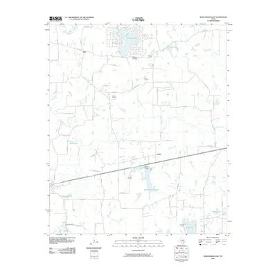
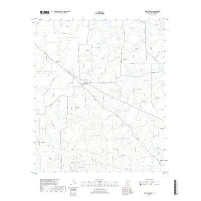
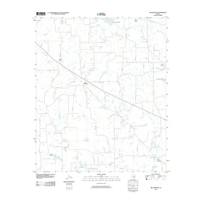 2010 Ben Wheeler2010 Print · USGSCovers Edom, including Ben Wheeler, Van Zandt County, and other nearby areas
 - 2010 Map of Murchison East, 2010 Print
 2010 Murchison East2010 Print · USGSCovers Edom, including Brownsboro, Murchison, and other nearby areas
 - 2010 Map of Carroll, 2010 Print
 2010 Carroll2010 Print · USGSCovers Edom, including Midway, Primrose, and other nearby areas
 - 2010 Map of Brownsboro, 2010 Print
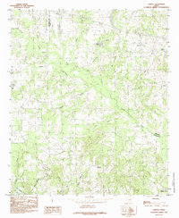
 2010 Brownsboro2010 Print · USGSCovers Edom, including Brownsboro, Evelyn, and other nearby areas
 - 2013 Map of Brownsboro, 2013 Print
 2013 Brownsboro2013 Print · USGSCovers Edom, including Brownsboro, Evelyn, and other nearby areas
 - 2013 Map of Ben Wheeler, 2013 Print
 2013 Ben Wheeler2013 Print · USGSCovers Edom, including Ben Wheeler, Van Zandt County, and other nearby areas
 - 2013 Map of Carroll, 2013 Print
 2013 Carroll2013 Print · USGSCovers Edom, including Midway, Primrose, and other nearby areas
 - 2013 Map of Murchison East, 2013 Print
 2013 Murchison East2013 Print · USGSCovers Edom, including Brownsboro, Murchison, and other nearby areas
 - 2016 Map of Murchison East, 2016 Print
 2016 Murchison East2016 Print · USGSCovers Edom, including Brownsboro, Murchison, and other nearby areas
 - 2016 Map of Brownsboro, 2016 Print
 2016 Brownsboro2016 Print · USGSCovers Edom, including Brownsboro, Evelyn, and other nearby areas
 - 2016 Map of Carroll, 2016 Print
 2016 Carroll2016 Print · USGSCovers Edom, including Midway, Primrose, and other nearby areas
 - 2016 Map of Ben Wheeler, 2016 Print
 2016 Ben Wheeler2016 Print · USGSCovers Edom, including Ben Wheeler, Van Zandt County, and other nearby areas
 - 2019 Map of Murchison East, 2019 Print
 2019 Murchison East2019 Print · USGSCovers Edom, including Brownsboro, Murchison, and other nearby areas
 - 2019 Map of Carroll, 2019 Print
 2019 Carroll2019 Print · USGSCovers Edom, including Midway, Primrose, and other nearby areas
 - 2019 Map of Ben Wheeler, 2019 Print
 2019 Ben Wheeler2019 Print · USGSCovers Edom, including Ben Wheeler, Van Zandt County, and other nearby areas
Showing maps 1-25 of 30
Top cities near Edom
- Tyler historical maps
- Athens historical maps
- Lindale historical maps
- Chandler historical maps
- Hideaway historical maps
- Van historical maps
See more
Frequently asked questions
- What are the different types of historical maps available for Edom?
- What is the oldest map of Edom?
- Where can I purchase historical maps of Edom for my home or office?
- Where can I download high-res historical maps of Edom?
- Are there historical topographic maps available for Edom?
- Is there historical aerial imagery available for Edom?
- Where are historical maps of Edom sourced from?