2020s Maps of Edom, Texas
Explore 4 historic maps of Edom from the 2020s. These maps offer a rare glimpse into what life looked like during the 2020s — showing old roads, neighborhoods, homes, and landmarks that have changed or disappeared over time.
Whether you're researching your family's past, planning a metal detecting trip, or studying how Edom's landscape evolved across the 2020s, these high-resolution maps are a powerful tool for exploring the history of this region.
- Focus on a specific era: All maps on this page are from the 2020s, giving you a focused view of this time period.
- See what’s changed: Compare century-old streets, trails, and buildings to today's modern landscape using overlays and satellite layers.
- Research with precision: Use these maps for genealogy, historical research, land use analysis, or educational projects.
- View, download, or print: Maps are fully viewable online in high resolution, and can be downloaded or printed for your own records.
Start exploring Edom's history through authentic maps from the 2020s. This is your window into the past.
Edom, TX maps
(4)- 2022 Map of Ben Wheeler, 2022 Print
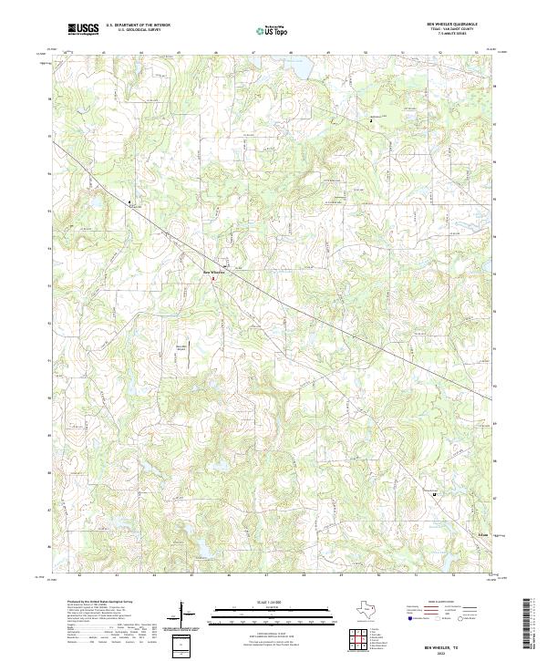 2022 Ben Wheeler2022 Print · USGSThe rural communities of Van Zandt County are captured here in the early twenty-first century as the landscape remains defined by its winding creeks and family-named landmarks. Genealogists and historians can locate Prairie Springs Cem, trace the headwaters of the Neches River, and identify sites near Ben Wheeler and Edom.
 - 2022 Map of Murchison East, 2022 Print
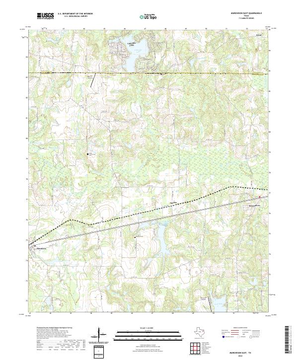 2022 Murchison East2022 Print · USGSThe borderlands of Henderson and Van Zandt counties come into focus in the early 2020s, showing a landscape of timbered creeks and quiet rural settlements. Genealogists and local historians can trace family ties at Asbury Cem or Ford Family Cem and locate landmarks like Red Star Airport.
 - 2022 Map of Brownsboro, 2022 Print
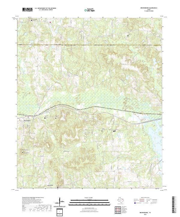 2022 Brownsboro2022 Print · USGSHenderson County settlement patterns are preserved in this recent survey, showing the rural communities between the Van Zandt line and the shores of Lake Palestine. Researchers can trace family history through the Old Norwegian Cemetery, Jennings Mountain, and the Old Rock Hill Cemetery.
 - 2022 Map of Carroll, 2022 Print
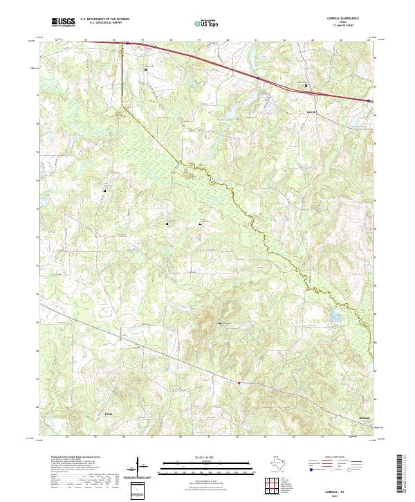 2022 Carroll2022 Print · USGSEast Texas river bottomlands and rural communities are captured here in the early twenty-first century. Genealogists can trace family roots at New Harmony Cem, Frontier Red Hill Cem, and the small settlement of Edom.
End of results
Showing maps 1-4 of 4
Top cities near Edom
- Tyler historical maps
- Athens historical maps
- Lindale historical maps
- Chandler historical maps
- Hideaway historical maps
- Van historical maps
See more
Frequently asked questions
- What are the different types of historical maps available for Edom?
- What is the oldest map of Edom?
- Where can I purchase historical maps of Edom for my home or office?
- Where can I download high-res historical maps of Edom?
- Are there historical topographic maps available for Edom?
- Is there historical aerial imagery available for Edom?
- Where are historical maps of Edom sourced from?