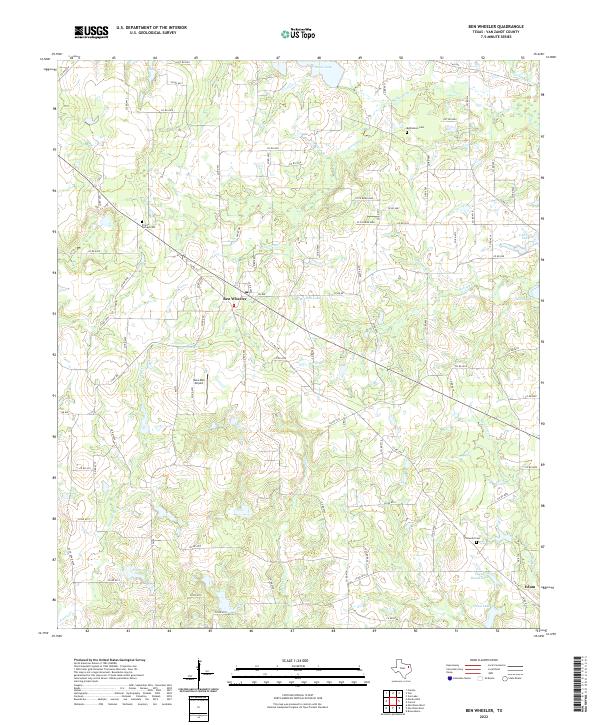
2022 Map of Ben Wheeler
USGS Topo · Published 2022About this map
Ben Wheeler serves as the central hub of this East Texas landscape, where several county roads and farm-to-market routes converge amidst a complex network of waterways. The terrain is defined by the upper reaches of the Neches River and its numerous tributaries, including Browning Cr and Prairie Cr, which feed into various small bodies of water like Rhine Lake and Mitchell Lake. This hydrologic pattern suggests a rural economy historically tied to the well-watered bottomlands of Van Zandt County.
Find a feature on this map
97 named features on this map. Tap any name to fly to it.
Don’t see what you’re looking for? This feature index may not catch every label — zoom into the map to look around manually.
Map Details
Editions of this 2022 Ben Wheeler Map
This is the sole edition of this map. No revisions or reprints were ever made.