Old Maps of Carr, Texas for Hiking & Exploration
Hike through history with 11 historic maps of Carr. Explore old trails, ghost towns, and forgotten backroads — perfect for outdoor adventurers and local explorers.
- Rediscover forgotten places: Map out old mining camps, roads, and footpaths that no longer exist on modern maps.
- Layer with modern tools: Combine with LiDAR or satellite views to plan hikes through historical terrain.
- Made for exploration: Popular among hikers, overlanders, and local history lovers.
Use these maps to find adventure and explore the hidden past of Carr.
Carr, TX maps
(11)- 1952 Map of Placedo, 1953 Print
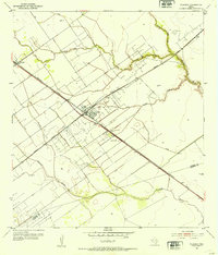 1952 Placedo1953 Print · USGSThe Texas coastal plain near Victoria emerges as a center for oil and rail in the early fifties. Genealogists and researchers can trace the industrial footprint of Placedo Field and find historic sites in Placedo, Dacosta, and Carr.2 unique versions available
 - 1953 Map of Beeville
 1953 Beeville1953 Print · USGSThe Texas Coastal Bend in the early fifties shows a landscape of growing regional hubs and vital maritime corridors. Trace the rail-and-river economy through Goliad, locate the Matagorda Lighthouse, and explore the sprawling Aransas National Wildlife Refuge.
 - 1956 Map of Beeville
 1956 Beeville1956 Print · USGSCoastal Texas and the brush country interior are shown in the mid-fifties, from the coastal bays to the inland oil fields. Trace the old rail lines of the Southern Pacific RR or locate the historic Matagorda Lighthouse and the Aransas National Wildlife Refuge.2 unique versions available
 - 1960 Map of Beeville
 1960 Beeville1960 Print · USGSCoastal Texas in the mid-fifties reveals a landscape of growing towns and vital military outposts like Foster AFB. Researchers can trace old rail lines including the Missouri Pacific and explore the vast Aransas National Wildlife Refuge.
 - 1984 Map of Port Lavaca
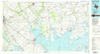 1984 Port Lavaca1984 Print · USGSCoastal Texas in the mid-1980s reveals a landscape of industrial waterways and historic rail corridors. Genealogists and historians can trace family roots through settlements like Bloomington and La Ward or explore the transit networks of the Southern Pacific and Missouri Pacific.
 - 1995 Map of Placedo
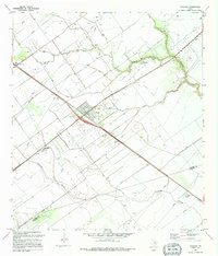 1995 Placedo1995 Print · USGSThe South Texas coastal plain comes into focus in the 1990s as a hub of energy production and rural community life. Researchers can trace the industrial footprint of the Heyser Oil and Gas Field alongside local landmarks like Placedo Brethren Ch and Bloomington High Sch.
 - 2010 Map of Placedo, 2010 Print
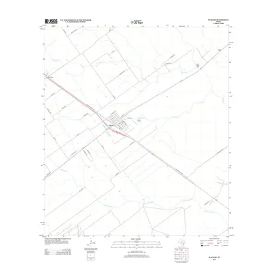
 2010 Placedo2010 Print · USGSCovers Carr, including Placedo, Dacosta, and other nearby areas
 - 2013 Map of Placedo, 2013 Print
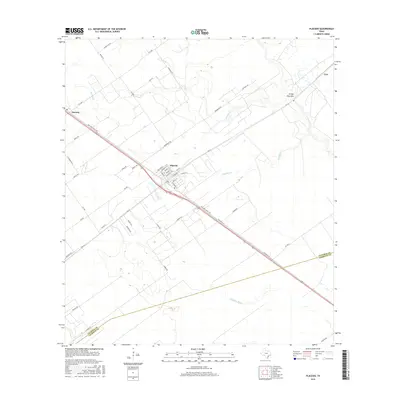
 2013 Placedo2013 Print · USGSCovers Carr, including Placedo, Dacosta, and other nearby areas
 - 2016 Map of Placedo, 2016 Print
 2016 Placedo2016 Print · USGSCovers Carr, including Placedo, Dacosta, and other nearby areas
 - 2019 Map of Placedo, 2019 Print
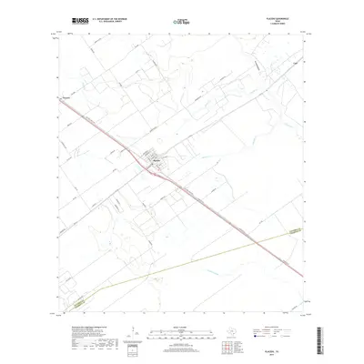 2019 Placedo2019 Print · USGSCovers Carr, including Placedo, Dacosta, and other nearby areas
 - 2022 Map of Placedo, 2022 Print
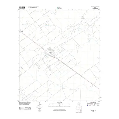
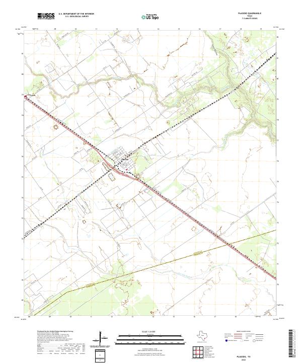 2022 Placedo2022 Print · USGSCoastal prairie life and the established grids of small South Texas towns are visible here in the early twenty-first century. Genealogists and local historians can trace family-named routes like Pickering Rd and Malik Rd near the settlements of Placedo and Dacosta.
End of results
Showing maps 1-11 of 11
Top cities near Carr
- Victoria historical maps
- Port Lavaca historical maps
- Edna historical maps
- Point Comfort historical maps
Frequently asked questions
- What are the different types of historical maps available for Carr?
- What is the oldest map of Carr?
- Where can I purchase historical maps of Carr for my home or office?
- Where can I download high-res historical maps of Carr?
- Are there historical topographic maps available for Carr?
- Is there historical aerial imagery available for Carr?
- Where are historical maps of Carr sourced from?