Old Maps of Walker County, Texas for Academic Research
Study the evolution of Walker County with 151 high-resolution historic maps. Whether you're teaching, researching, or modeling changes in land use, these maps provide essential visual documentation of urban, environmental, and geographic change.
- Analyze long-term change: Track patterns in development, transportation, and natural features.
- Ideal for environmental or urban studies: Support academic projects with primary historical map data.
- Use in the classroom or lab: Educators and researchers rely on these maps to bring historical context to life.
These maps are a powerful tool for teaching, research, and visualizing how Walker County has changed over the decades.
Walker County, TX maps
(151)- 1953 Map of Palestine, 1964 Print
 1953 Palestine1964 Print · USGSEast Texas was defined by its deep pine forests and burgeoning energy sector in the mid-1950s. Genealogists and historians can trace the rail-and-river economy through settlements like Tennessee Colony and Pollok or explore the early footprints of the Cayuga Oil Field and Davy Crockett National Forest.2 unique versions available
 - 1954 Map of Beaumont, 1964 Print
 1954 Beaumont1964 Print · USGSSoutheast Texas in the mid-fifties reveals a landscape of massive national forests, emerging reservoirs, and a booming oil economy. Genealogists and researchers can trace rural settlements like Dallardsville and Village Mills or locate early drilling sites at Sour Lake Oil Field.3 unique versions available
 - 1957 Map of Beaumont
 1957 Beaumont1957 Print · USGSSoutheast Texas in the mid-fifties is defined by the timber-rich lands between the Trinity River and Beaumont. Trace the history of the Alabama and Coushatti Indian Reservation or locate early campus sites like Prairie View College.
 - 1957 Map of Palestine
 1957 Palestine1957 Print · USGSEast Texas in the mid-fifties reveals a landscape of deep pine forests and winding river valleys before the era of massive reservoir construction. Researchers can trace the legacy of the timber and rail industries through labels for the Missouri Pacific RR, Davy Crockett National Forest, and Nacogdoches.
 - 1959 Map of Moore Grove, 1960 Print
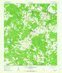
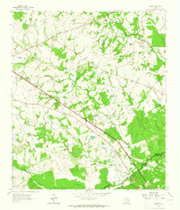
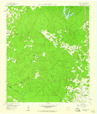 1959 Moore Grove1960 Print · USGSThe Piney Woods of Walker County are captured here in the late fifties, showcasing a landscape of timber management and remote ranching. Trace old timber routes along the Old Railroad Grade or find family landmarks like Union Hill Cem and the Old Folks Home.3 unique versions available
 - 1959 Map of San Jacinto, 1960 Print
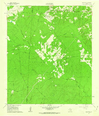
 1959 San Jacinto1960 Print · USGSThe piney woods of Montgomery and Walker Counties are shown here during the late fifties as the Sam Houston National Forest defined the region's character. Genealogists and local historians can locate early community hubs like Parris Chapel, Union Grove Ch, and the Lee Cem.4 unique versions available
 - 1960 Map of Trinity West, 1962 Print
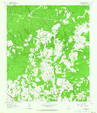
 1960 Trinity West1962 Print · USGSThe Trinity River bottomlands south of the town of Trinity come into focus in the early 1960s as a landscape of railroads and institutional farms. Researchers can trace the path of the Waco Beaumont Trinity and Sabine rail line or locate the grounds of the Smither Prison Farm and Mt Olive Ch.3 unique versions available
 - 1960 Map of Maynard, 1962 Print
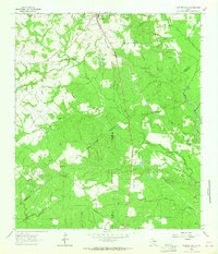
 1960 Maynard1962 Print · USGSSan Jacinto County in the early sixties remains a landscape of dense woods and quiet creek bottoms within the Sam Houston National Forest. Genealogists and historians can trace the foundations of Old Waverly and locate local landmarks like the Old Railroad Grade and Hargrove Cem.3 unique versions available
 - 1960 Map of Trinity East, 1962 Print
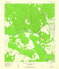
 1960 Trinity East1962 Print · USGSThe community of Trinity and its riverfront surroundings are captured in the early 1960s, showing the intersection of rail and river life. Researchers can trace the Missouri Pacific line or follow the Old Railroad Grade past Skaines Lake and the settlement of Sebastopol.3 unique versions available
 - 1960 Map of New Waverly, 1962 Print
 1960 New Waverly1962 Print · USGSThe rural timber and farming lands north of Houston are captured here as they appeared in the early sixties. Genealogists and historians can trace family locations near New Waverly or locate small settlements like Elmina and the secluded Boswell Cem.3 unique versions available
 - 1960 Map of Phelps, 1963 Print
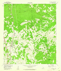
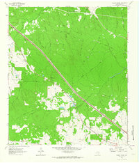
 1960 Phelps1963 Print · USGSSoutheastern Walker County is shown at the start of the 1960s, a landscape defined by the Sam Houston National Forest and the Missouri Pacific line. Genealogists can locate Grant Colony Cem and the State Prison Farm (Goree).3 unique versions available
 - 1961 Map of Staley, 1962 Print
 1961 Staley1962 Print · USGSDeep in the Piney Woods of the early sixties, this survey shows the rugged creek drainages and forest boundaries along the San Jacinto and Walker county lines. Trace family history through local landmarks like Gospel Hill Sch, Staley (Embryfield), and Community Relief Cem.2 unique versions available
 - 1961 Map of Riverside, 1962 Print
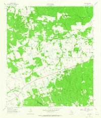
 1961 Riverside1962 Print · USGSEastern Walker County in the early sixties is characterized by small rural communities and the presence of the Sam Houston State Teachers College. Trace family roots at Dodge Cem or locate the old Riverside Jr High Sch and Holmes Chapel.3 unique versions available
 - 1961 Map of Oakhurst, 1962 Print
 1961 Oakhurst1962 Print · USGSSan Jacinto and Walker Counties appear here in the early sixties, centered on the interface of the deep woods and rural homesteads. Genealogists can trace family landmarks like White Hill Missionary Ch, the Hoby Cem, and the Old Railroad Grade.3 unique versions available
 - 1962 Map of Pine Prairie, 1964 Print
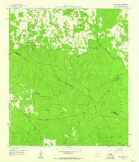
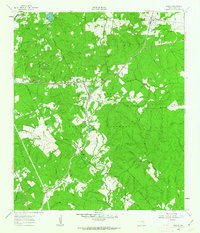
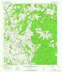
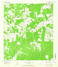
 1962 Pine Prairie1964 Print · USGSWalker County's rural interior comes to life in the early sixties, showing the vital connection between institutional land use and small-town Texas life. Researchers can trace local heritage through sites like Pine Prairie Cem, the Rosenwald Sch, and the Wynne State Prison Farm.3 unique versions available
 - 1962 Map of Lovelady South, 1964 Print
 1962 Lovelady South1964 Print · USGSThe woodlands of East Texas are captured here in the early 1960s as a landscape of timber, oil, and rail. Genealogists can locate family landmarks like Prairie Pt Cem, White Rock Ch, and the workings of the Trinity Oil Field.
 - 1962 Map of Connor, 1964 Print
 1962 Connor1964 Print · USGSThe Madison and Walker county line runs through this early 1960s rural landscape as the local infrastructure begins to modernize. Genealogists and researchers can locate family sites like Burrows Cemetery, the South Bethel School, and the Jenkins settlement.
 - 1962 Map of Richards, 1964 Print
 1962 Richards1964 Print · USGSRichards emerges as a vital railroad junction in the early sixties where two major rail lines met at the edge of the deep pine woods. Researchers can trace family history through sites like Bays Chapel Cem, the local High Sch, and rural landmarks like Robinson Hill.
 - 1962 Map of Wyser Bottom, 1965 Print
 1962 Wyser Bottom1965 Print · USGSThe Trinity River valley in the early 1960s reveals a landscape of oxbow lakes and riverine bluffs. Genealogists can trace family landmarks like Spivey Cem, Mason Cem, and the rural New Hope Ch near the settlement of Whites.2 unique versions available
 - 1962 Map of Galilee, 1965 Print
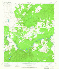
 1962 Galilee1965 Print · USGSWalker County during the early sixties shows a landscape of scattered rural settlements and winding river branches. Researchers can trace family ties through dozens of landmarks like Ebenezer Cem, Mt Zion Ch, and the small community of Galilee.
 - 1962 Map of Baker Lake, 1966 Print
 1962 Baker Lake1966 Print · USGSIn the early sixties, the Trinity River bottomlands were defined by massive agricultural institutions and quiet rural hamlets. Researchers can trace the roots of local communities at Shaw Prairie Ch, Bucks Cem, and the old settlement at Bald Prairie.2 unique versions available
 - 1963 Map of Steep Branch, 1964 Print
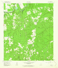
 1963 Steep Branch1964 Print · USGSThe rural borderlands of Walker, Madison, and Grimes counties come alive in the early sixties as a landscape of winding creeks and community anchors. Trace family history through landmarks like McAdams Cem, Oak Grove Sch, and the small settlement of Mossy Grove.
 - 1963 Map of Crabbs Prairie, 1964 Print
 1963 Crabbs Prairie1964 Print · USGSWalker County timberlands and rural homesteads come into focus in the early sixties. Genealogists and historians can trace the Old Railroad Grade past Cook Spring Ch or locate family roots near Petree Cem.2 unique versions available
 - 1963 Map of Loma, 1965 Print
 1963 Loma1965 Print · USGSWalker County rural life in the early sixties is preserved here, centered on the settlement of Loma. Genealogists and historians can locate numerous community landmarks, from Mc Cowan Cem and Mustang Cem to the Hopewell Sch and Pilgrim Rest Ch.
 - 1963 Map of Huntsville, 1966 Print
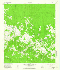
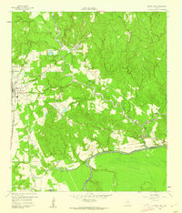
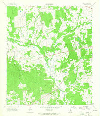
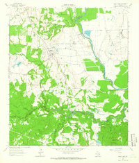
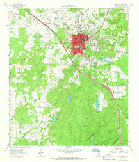 1963 Huntsville1966 Print · USGSHuntsville and the surrounding East Texas piney woods are documented here in the early sixties, highlighting the town's growth as an educational and institutional hub. Researchers can locate the Sam Houston State Teachers College campus and various correctional facilities like Wynne State Prison Farm.4 unique versions available
Showing maps 1-25 of 151
Top cities of Walker County
Frequently asked questions
- What are the different types of historical maps available for Walker County?
- What is the oldest map of Walker County?
- Where can I purchase historical maps of Walker County for my home or office?
- Where can I download high-res historical maps of Walker County?
- Are there historical topographic maps available for Walker County?
- Is there historical aerial imagery available for Walker County?
- Where are historical maps of Walker County sourced from?