
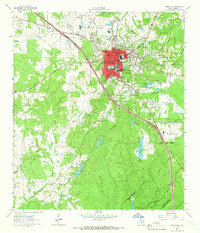
1959 Map of San Jacinto
USGS Topo · Published 1960About this map
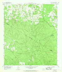
The Sam Houston National Forest dominates this 1950s landscape, where the West Fork San Jacinto River and West Sandy Creek converge amidst a dense network of timber and drainage. The settlement pattern is characterized by dispersed community anchors such as Parris Chapel, Ebenezer Ch, and the Little Zion Sch, reflecting the rural social geography of Walker and Montgomery Counties before modern development. Notable landmarks like the Pool Lookout tower and an Artesian Well near the Stubblefield Lake Campground indicate the intersection of resource management and early outdoor recreation. The map also documents local family history through sites like Lee Cem and Farris Cem, while a lone Oil Well near Little Lake Creek hints at the burgeoning industrial reach into the piney woods.
Find a feature on this map
35 named features on this map. Tap any name to fly to it.
Don’t see what you’re looking for? This feature index may not catch every label — zoom into the map to look around manually.
Map Details
Editions of this 1959 San Jacinto Map
4 editions found
Other maps of this area

1954 · Beaumont
USGS Topo · 1:250,000

1957 · Beaumont
USGS Topo · 1:250,000

1958 · Lake Paula
USGS Topo · 1:24,000

1959 · Moore Grove
USGS Topo · 1:24,000

1959 · Montgomery
USGS Topo · 1:24,000

1962 · Dacus
USGS Topo · 1:24,000

1962 · Richards
USGS Topo · 1:24,000

1962 · Galilee
USGS Topo · 1:24,000
1963 · Loma
USGS Topo · 1:24,000
1963 · Huntsville
USGS Topo · 1:24,000