
1959 Map of Moore Grove
USGS Topo · Published 1960About this map
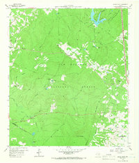
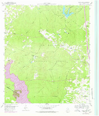
The Sam Houston National Forest dominates this 1959 landscape, where heavily wooded terrain is broken by timber operations and cattle ranching. The presence of the Old Railroad Grade and several fire towers, including the Bath Lookout and Moores Grove Lookout, indicates the region's managed wilderness character and industrial history. Small family settlements and ranching operations like Lost Meadows Ranch and M-Four Ranch are scattered throughout the forest, often located near water sources such as the West Fork San Jacinto River.
Find a feature on this map
54 named features on this map. Tap any name to fly to it.
Don’t see what you’re looking for? This feature index may not catch every label — zoom into the map to look around manually.
Map Details
Editions of this 1959 Moore Grove Map
Other maps of this area

1954 · Beaumont
USGS Topo · 1:250,000

1957 · Beaumont
USGS Topo · 1:250,000

1958 · Lake Paula
USGS Topo · 1:24,000

1959 · San Jacinto
USGS Topo · 1:24,000

1959 · Montgomery
USGS Topo · 1:24,000

1960 · Willis
USGS Topo · 1:24,000

1960 · New Waverly
USGS Topo · 1:24,000

1960 · Phelps
USGS Topo · 1:24,000

1962 · Galilee
USGS Topo · 1:24,000
1963 · Huntsville
USGS Topo · 1:24,000