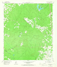
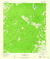
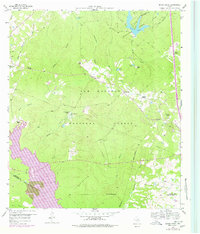
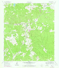
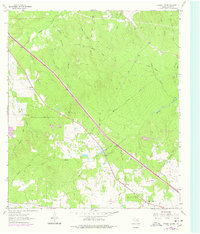
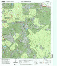
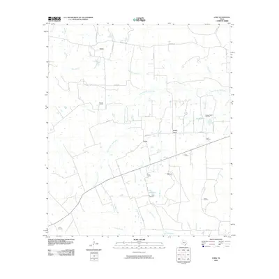
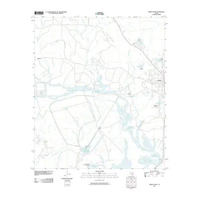
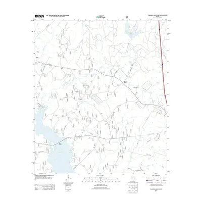
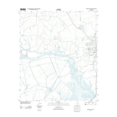
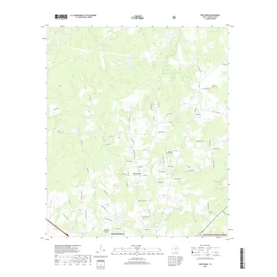
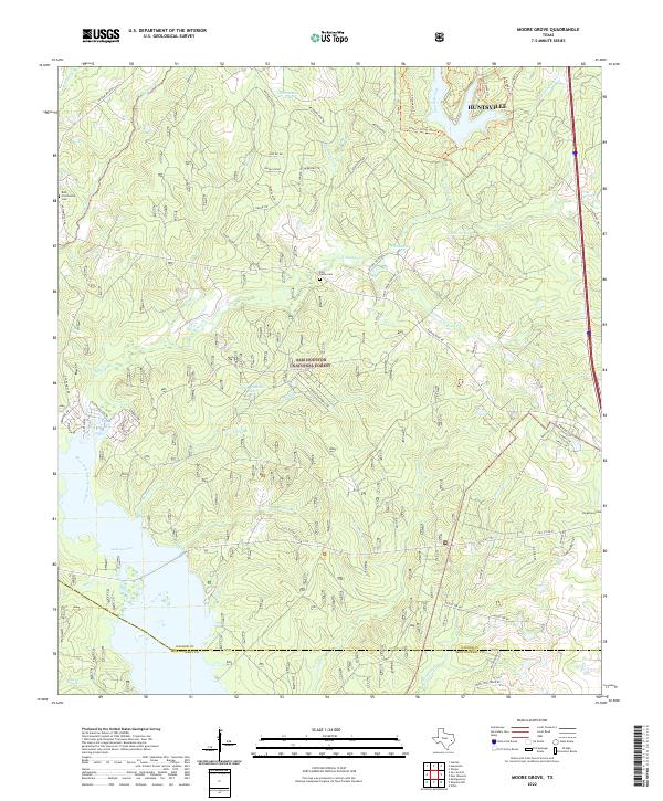
1959 Map of Moore Grove
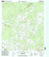
USGS Topo · Published 1966About this map
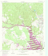
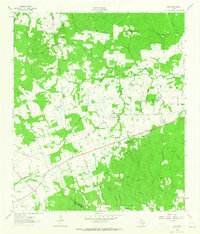
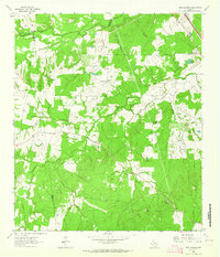
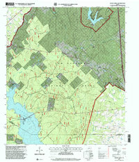
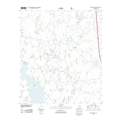
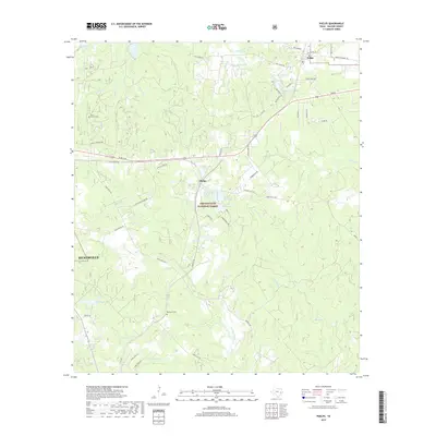
Sam Houston National Forest dominates this Walker County landscape in the late 1950s, characterized by its dense wooded areas and intricate network of creek branches. The eastern edge of the forest contains several agricultural properties and family-named landmarks, such as the Hayman Ranch and the Stewart Ranch, while the Old Folks Home near the eastern boundary suggests local social infrastructure of the era. To the north, Huntsville State Park centers around Lake Raven, which is fed by Prairie Branch.
Find a feature on this map
46 named features on this map. Tap any name to fly to it.
Don’t see what you’re looking for? This feature index may not catch every label — zoom into the map to look around manually.
Map Details
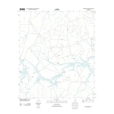
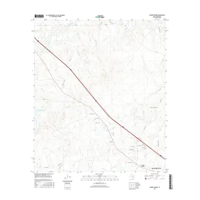
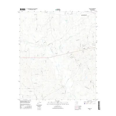
Editions of this 1959 Moore Grove Map
Historical Maps of Moore Grove Through Time
57 maps found
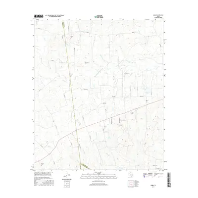
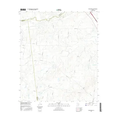
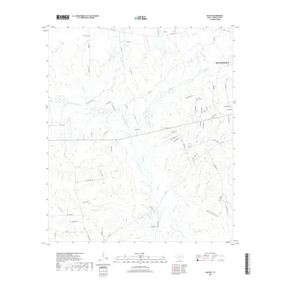
1959 Moore Grove
Walker County, TX
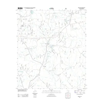
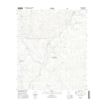
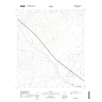
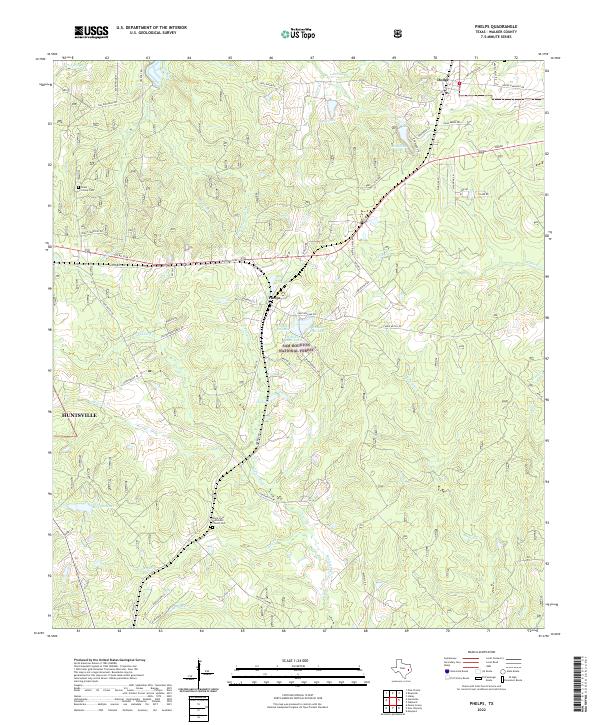
1960 Phelps
Walker County, TX
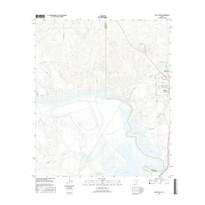
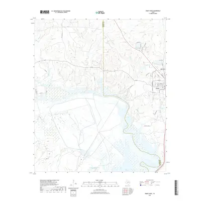
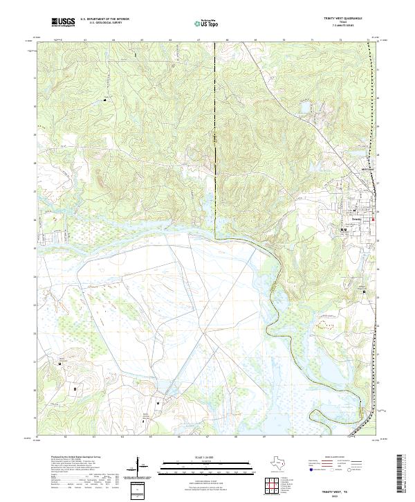
1960 Trinity West
Walker County, TX
1962 Galilee
Walker County, TX
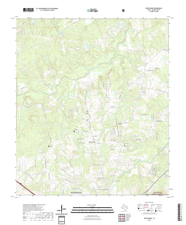
1962 Pine Prairie
Walker County, TX
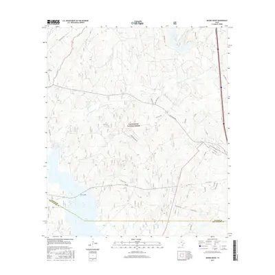
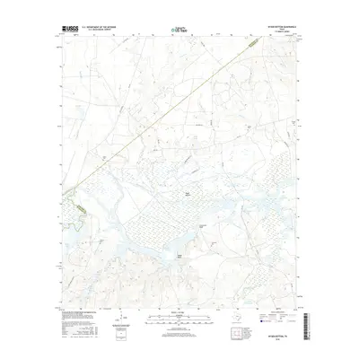
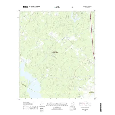
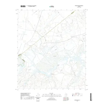
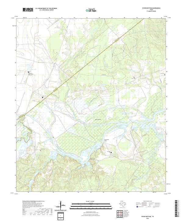
1962 Wyser Bottom
Walker County, TX
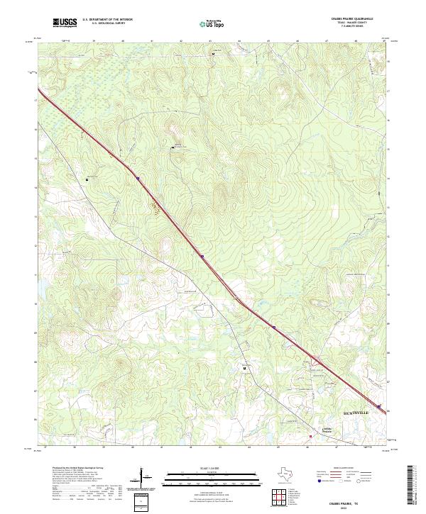
1963 Crabbs Prairie
Walker County, TX
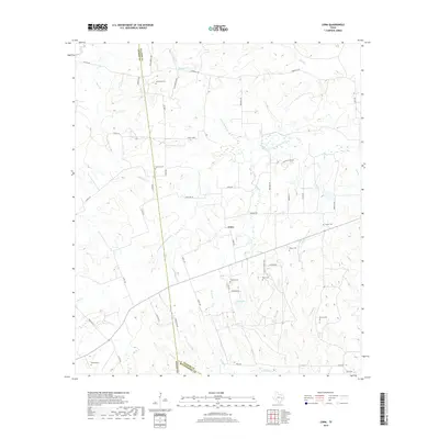
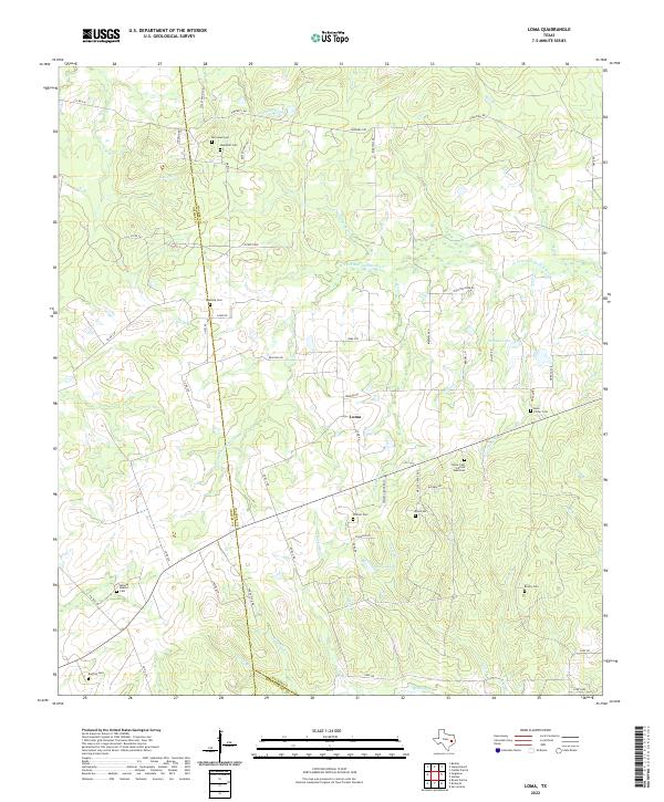
1963 Loma
Walker County, TX
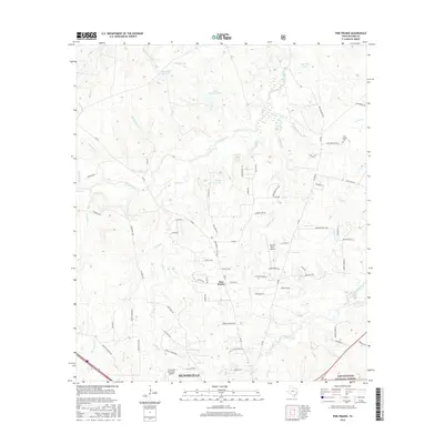
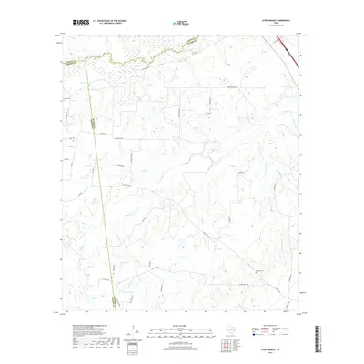
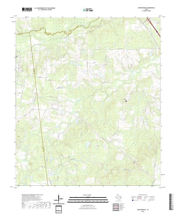
1963 Steep Branch
Walker County, TX
1997 Moore Grove
Walker County, TX
1997 Phelps
Walker County, TX
1997 Pine Prairie
Walker County, TX
2010 Crabbs Prairie
Walker County, TX
2010 Galilee
Walker County, TX
2010 Loma
Walker County, TX
2010 Moore Grove
Walker County, TX
2010 Phelps
Walker County, TX
2010 Pine Prairie
Walker County, TX

2010 Steep Branch
Walker County, TX
2010 Trinity West
Walker County, TX
2010 Wyser Bottom
Walker County, TX
2013 Crabbs Prairie
Walker County, TX
2013 Galilee
Walker County, TX

2013 Loma
Walker County, TX
2013 Moore Grove
Walker County, TX
2013 Phelps
Walker County, TX
2013 Pine Prairie
Walker County, TX
2013 Steep Branch
Walker County, TX
2013 Trinity West
Walker County, TX
2013 Wyser Bottom
Walker County, TX
2016 Crabbs Prairie
Walker County, TX
2016 Galilee
Walker County, TX
2016 Loma
Walker County, TX
2016 Moore Grove
Walker County, TX
2016 Phelps
Walker County, TX
2016 Pine Prairie
Walker County, TX
2016 Steep Branch
Walker County, TX
2016 Trinity West
Walker County, TX
2016 Wyser Bottom
Walker County, TX
2019 Crabbs Prairie
Walker County, TX
2019 Galilee
Walker County, TX
2019 Loma
Walker County, TX
2019 Moore Grove
Walker County, TX
2019 Phelps
Walker County, TX
2019 Pine Prairie
Walker County, TX
2019 Steep Branch
Walker County, TX
2019 Trinity West
Walker County, TX
2019 Wyser Bottom
Walker County, TX
2022 Crabbs Prairie
Walker County, TX

2022 Galilee
Walker County, TX
2022 Loma
Walker County, TX
2022 Moore Grove
Walker County, TX
2022 Phelps
Walker County, TX
2022 Pine Prairie
Walker County, TX
2022 Steep Branch
Walker County, TX
2022 Trinity West
Walker County, TX
2022 Wyser Bottom
Walker County, TX