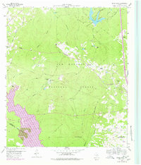
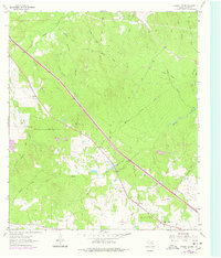
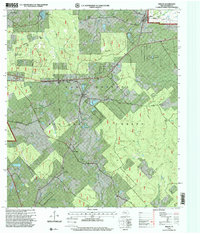
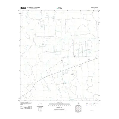
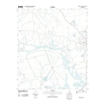
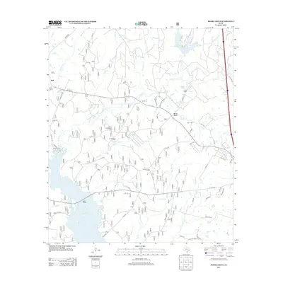
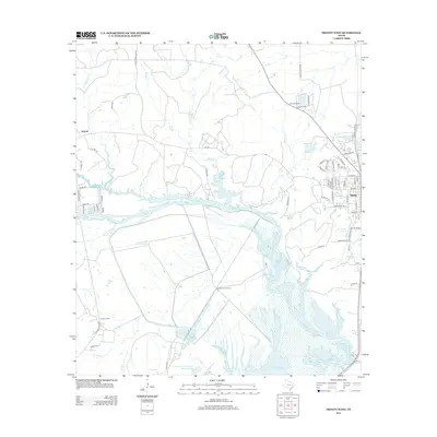
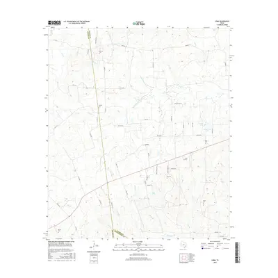
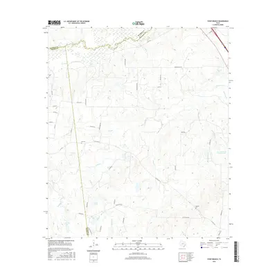
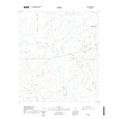
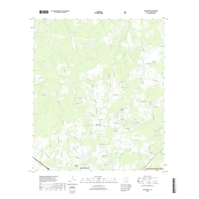
1959 Map of Moore Grove
USGS Topo · Published 1978About this map
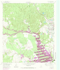
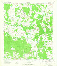
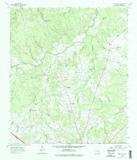
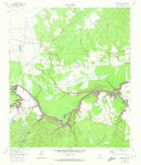
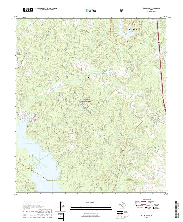
The Sam Houston National Forest dominates this landscape, where dense piney woods are interspersed with cattle ranches and historic rural outposts. Local genealogists will find several landmarks of interest, including the Union Hill Ch and adjacent Union Hill Cem near Bath, as well as the Old Folks Home situated in the eastern portion of the quadrangle. The map captures a moment of transition as the waters of Conroe Lake reach into the southwestern corner of Walker County, fundamentally altering the drainage of Robinson Creek and Sand Branch.
Find a feature on this map
45 named features on this map. Tap any name to fly to it.
Don’t see what you’re looking for? This feature index may not catch every label — zoom into the map to look around manually.
Map Details
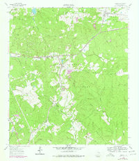
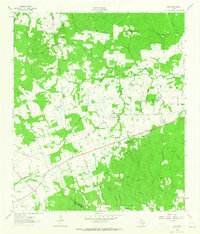
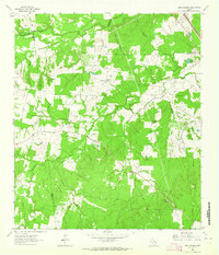
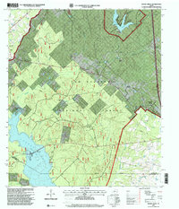
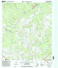
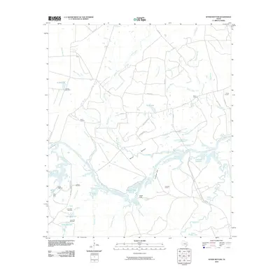
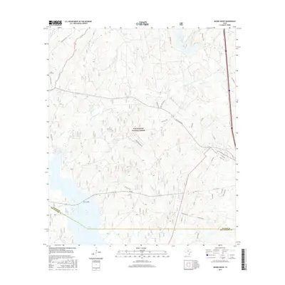
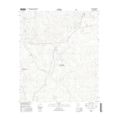
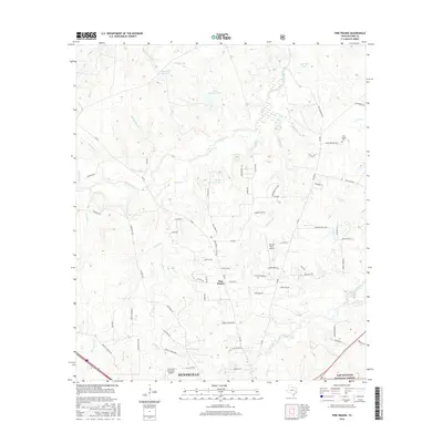
Editions of this 1959 Moore Grove Map
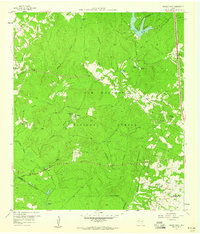
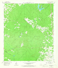
Historical Maps of Moore Grove Through Time
57 maps found
1959 Moore Grove
Walker County, TX
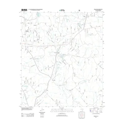
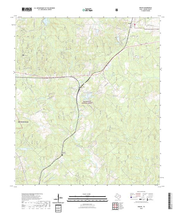
1960 Phelps
Walker County, TX
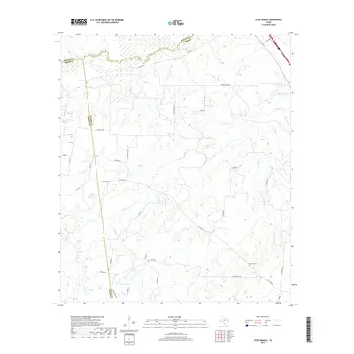
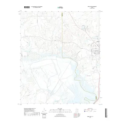
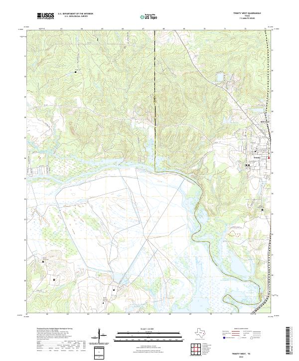
1960 Trinity West
Walker County, TX
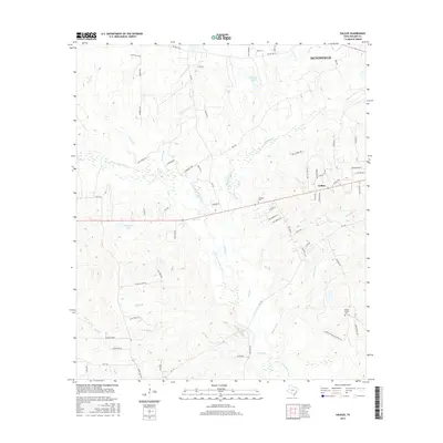
1962 Galilee
Walker County, TX
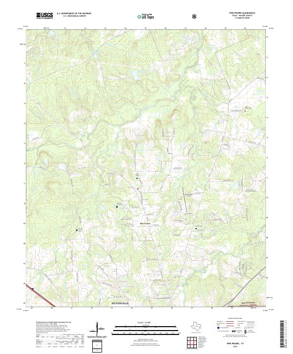
1962 Pine Prairie
Walker County, TX
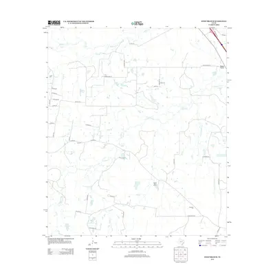
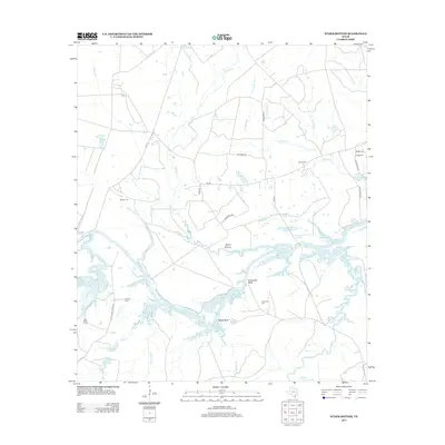
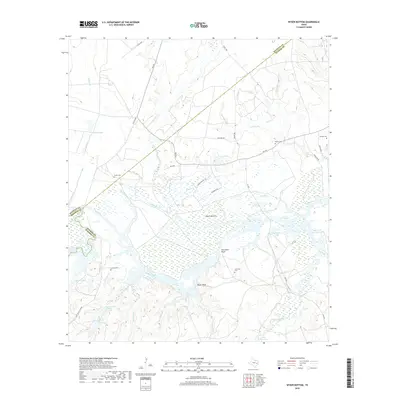
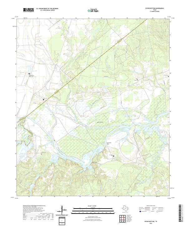
1962 Wyser Bottom
Walker County, TX
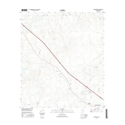
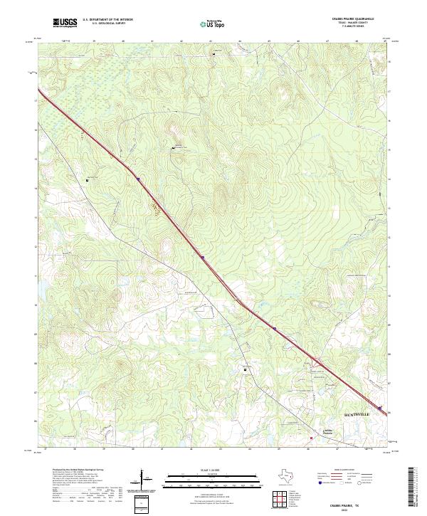
1963 Crabbs Prairie
Walker County, TX
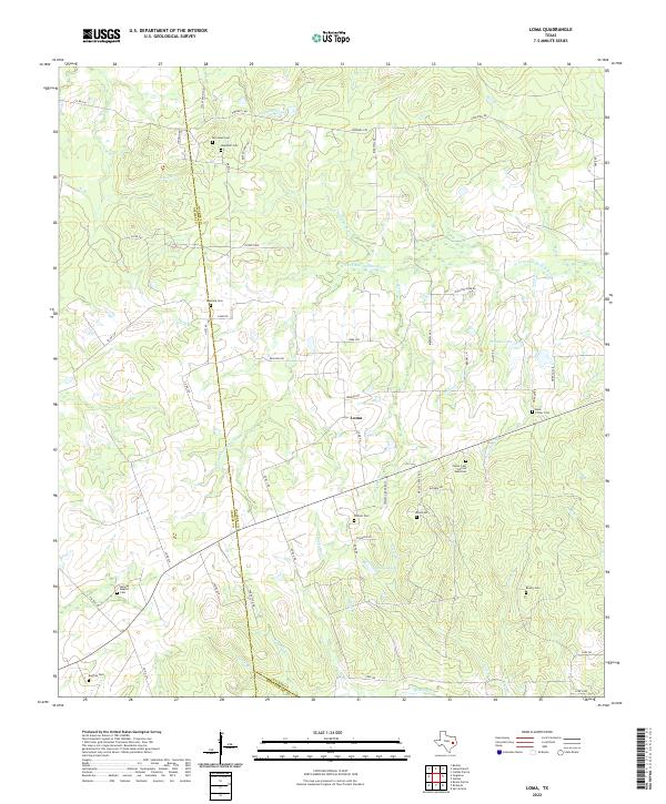
1963 Loma
Walker County, TX
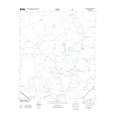
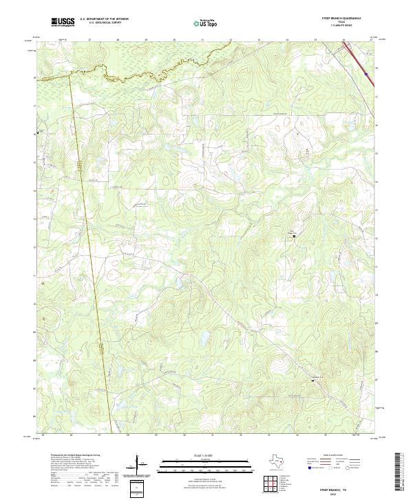
1963 Steep Branch
Walker County, TX
1997 Moore Grove
Walker County, TX
1997 Phelps
Walker County, TX
1997 Pine Prairie
Walker County, TX
2010 Crabbs Prairie
Walker County, TX
2010 Galilee
Walker County, TX
2010 Loma
Walker County, TX
2010 Moore Grove
Walker County, TX
2010 Phelps
Walker County, TX
2010 Pine Prairie
Walker County, TX

2010 Steep Branch
Walker County, TX
2010 Trinity West
Walker County, TX
2010 Wyser Bottom
Walker County, TX
2013 Crabbs Prairie
Walker County, TX
2013 Galilee
Walker County, TX

2013 Loma
Walker County, TX
2013 Moore Grove
Walker County, TX
2013 Phelps
Walker County, TX
2013 Pine Prairie
Walker County, TX
2013 Steep Branch
Walker County, TX
2013 Trinity West
Walker County, TX
2013 Wyser Bottom
Walker County, TX
2016 Crabbs Prairie
Walker County, TX
2016 Galilee
Walker County, TX
2016 Loma
Walker County, TX
2016 Moore Grove
Walker County, TX
2016 Phelps
Walker County, TX
2016 Pine Prairie
Walker County, TX
2016 Steep Branch
Walker County, TX
2016 Trinity West
Walker County, TX
2016 Wyser Bottom
Walker County, TX
2019 Crabbs Prairie
Walker County, TX
2019 Galilee
Walker County, TX
2019 Loma
Walker County, TX
2019 Moore Grove
Walker County, TX
2019 Phelps
Walker County, TX
2019 Pine Prairie
Walker County, TX
2019 Steep Branch
Walker County, TX
2019 Trinity West
Walker County, TX
2019 Wyser Bottom
Walker County, TX
2022 Crabbs Prairie
Walker County, TX

2022 Galilee
Walker County, TX
2022 Loma
Walker County, TX
2022 Moore Grove
Walker County, TX
2022 Phelps
Walker County, TX
2022 Pine Prairie
Walker County, TX
2022 Steep Branch
Walker County, TX
2022 Trinity West
Walker County, TX
2022 Wyser Bottom
Walker County, TX