Old Maps of Los Ojuelos, Texas for Genealogy
Trace your family roots with 9 historic maps of Los Ojuelos. These high-res maps reveal old neighborhoods, homesites, landmarks, and streets — helping you uncover where your ancestors lived and how the area evolved over time.
- Explore historic neighborhoods: Identify where your relatives may have lived in the 1800s or 1900s.
- Compare maps over time: Trace the changes in streets, buildings, and landmarks for multi-generational research.
- Perfect for genealogy & ancestry research: Used by family historians and researchers to map out lineage and migration.
These maps are an incredible resource for exploring your personal connection to Los Ojuelos's past.
Los Ojuelos, TX maps
(9)- 1939 Map of Bruni, 1958 Print
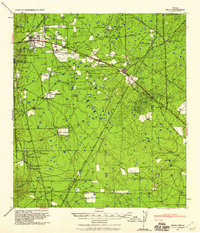 1939 Bruni1958 Print · USGSSouth Texas brush country was a hub of energy and ranching in the late thirties as the oil boom transformed the landscape. Genealogists and historians can trace family landholdings like Santa Cruz Ranch and the early industrial footprint of Mirando City or the Valdez Oil Field.2 unique versions available
 - 1956 Map of Laredo, 1960 Print
 1956 Laredo1960 Print · USGSSouth Texas in the mid-fifties reveals a landscape shaped by border commerce, military aviation, and a booming oil industry. Trace the historic Texas and Mexican RR line through Hebbronville or locate the sprawling Mirando City Oil Field and Laredo AFB.3 unique versions available
 - 1972 Map of Oilton, 1975 Print
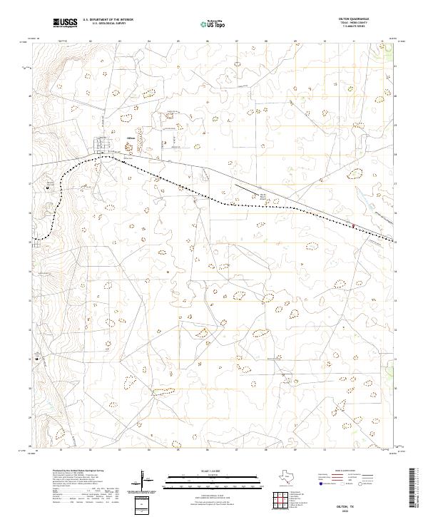
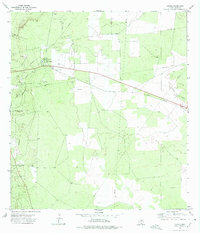 1972 Oilton1975 Print · USGSSouth Texas petroleum country comes into focus in the early seventies as the regional oil boom shapes the land. Trace the industrial footprint of the Mirando City Oil Field and find historic sites like Los Ojuelos and the Texas Mexican line.
 - 1985 Map of Falfurrias
 1985 Falfurrias1985 Print · USGSThe ranchlands of South Texas were an active hub for rail and petroleum at the height of the mid-eighties. Researchers can trace the path of the Texas Mexican RR through Hebbronville or locate the Thanksgiving Oil Field and Sejita crossroads.2 unique versions available
 - 2010 Map of Oilton, 2010 Print
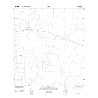
 2010 Oilton2010 Print · USGSCovers Los Ojuelos, including Oilton, Webb County, and other nearby areas
 - 2013 Map of Oilton, 2013 Print
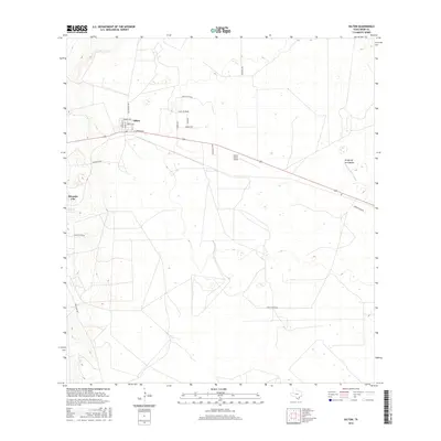
 2013 Oilton2013 Print · USGSCovers Los Ojuelos, including Oilton, Webb County, and other nearby areas
 - 2016 Map of Oilton, 2016 Print
 2016 Oilton2016 Print · USGSCovers Los Ojuelos, including Oilton, Webb County, and other nearby areas
 - 2019 Map of Oilton, 2019 Print
 2019 Oilton2019 Print · USGSCovers Los Ojuelos, including Oilton, Webb County, and other nearby areas
 - 2022 Map of Oilton, 2022 Print
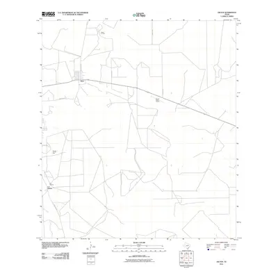
 2022 Oilton2022 Print · USGSThe South Texas ranching country around Oilton is documented here in the early twenty-first century. Genealogists can locate family burial sites at Oilton Cem and Los Ojuelos Cem or trace the drainage of the Arroyo de los Angles.
End of results
Showing maps 1-9 of 9
Top cities near Los Ojuelos
Frequently asked questions
- What are the different types of historical maps available for Los Ojuelos?
- What is the oldest map of Los Ojuelos?
- Where can I purchase historical maps of Los Ojuelos for my home or office?
- Where can I download high-res historical maps of Los Ojuelos?
- Are there historical topographic maps available for Los Ojuelos?
- Is there historical aerial imagery available for Los Ojuelos?
- Where are historical maps of Los Ojuelos sourced from?