1960s Maps of Wharton County, Texas
Explore 15 historic maps of Wharton County from the 1960s. These maps offer a rare glimpse into what life looked like during the 1960s — showing old roads, neighborhoods, homes, and landmarks that have changed or disappeared over time.
Whether you're researching your family's past, planning a metal detecting trip, or studying how Wharton County's landscape evolved across the 1960s, these high-resolution maps are a powerful tool for exploring the history of this region.
- Focus on a specific era: All maps on this page are from the 1960s, giving you a focused view of this time period.
- See what’s changed: Compare century-old streets, trails, and buildings to today's modern landscape using overlays and satellite layers.
- Research with precision: Use these maps for genealogy, historical research, land use analysis, or educational projects.
- View, download, or print: Maps are fully viewable online in high resolution, and can be downloaded or printed for your own records.
Start exploring Wharton County's history through authentic maps from the 1960s. This is your window into the past.
Wharton County, TX maps
(15)- 1960 Map of Beeville
 1960 Beeville1960 Print · USGSCoastal Texas in the mid-fifties reveals a landscape of growing towns and vital military outposts like Foster AFB. Researchers can trace old rail lines including the Missouri Pacific and explore the vast Aransas National Wildlife Refuge.
 - 1960 Map of Lissie, 1961 Print
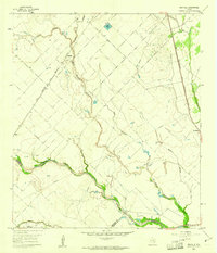
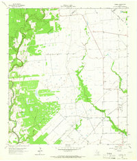
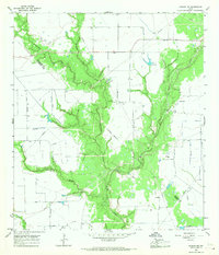
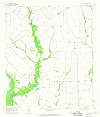
 1960 Lissie1961 Print · USGSWharton County agricultural and industrial life is captured here in the early sixties, showing the expansion of oil and gas alongside traditional rice farming. Trace the rail-and-canal network between Lissie and Nottawa, or locate the Rice Mill and Chesterville Oil Field.2 unique versions available
 - 1960 Map of New Taiton, 1961 Print
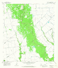
 1960 New Taiton1961 Print · USGSThe Wharton County prairie comes alive in the early sixties, showing a landscape defined by ranching and the emerging oil industry. Genealogists and historians can trace the foundations of New Taiton, located near St John Ch, or map the energy infrastructure of the New Taiton Oil Field.2 unique versions available
 - 1960 Map of East Bernard, 1961 Print
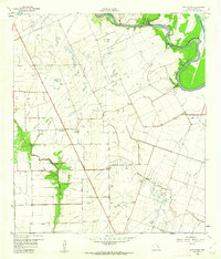
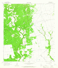
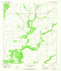
 1960 East Bernard1961 Print · USGSCoastal prairie life in the early sixties centers on the junction of the San Bernard River and the Southern Pacific rail line. Genealogists can trace family footprints at Guardian Angel Cem, National Cem, and the rural Bernard Prairie Sch.3 unique versions available
 - 1960 Map of Rexville, 1961 Print
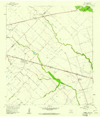
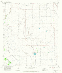
 1960 Rexville1961 Print · USGSThe rural borderlands of Austin and Wharton Counties are captured here in the early sixties as the oil and gas industry matured. Trace old rail lines like the Gulf Colorado and Santa Fe through Rexville or locate the Chesterville Oil Field.2 unique versions available
 - 1963 Map of Eagle Lake, 1965 Print
 1963 Eagle Lake1965 Print · USGSThe Colorado County prairie comes alive in this early 1960s survey, centered on the rail hub of Eagle Lake. Genealogists can trace family sites at Mount Zion Cem or Lakeside Cem, while collectors can map the era's Strip Mine and oil field growth.2 unique versions available
 - 1964 Map of Cordele, 1966 Print
 1964 Cordele1966 Print · USGSIn the mid-1960s, the Jackson County prairie near the Lavaca line was a landscape of cattle, cotton, and the rising energy industry. Local historians can trace family burial sites at Gandy Cem and Flourney Cem or explore the early development of the Morales Gas Field.2 unique versions available
 - 1964 Map of Speaks, 1966 Print
 1964 Speaks1966 Print · USGSCoastal plains and petroleum fields define this pocket of Lavaca County in the 1960s. Researchers can trace the industrial layout of the Wilcox Refinery or locate remote burial sites like Bright Cem and the small settlement of Seclusion.2 unique versions available
 - 1965 Map of El Campo, 1967 Print
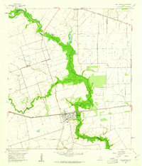
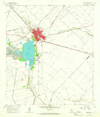
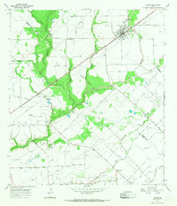
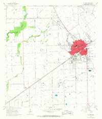 1965 El Campo1967 Print · USGSWharton County saw steady growth in the mid-sixties as the railroad and oil industry shaped local life. Researchers can trace family roots through several sites like Swedish Cem and St Andrews Ch, or locate the historic Hutchins Oil Field.2 unique versions available
 - 1965 Map of Ganado NE, 1967 Print
 1965 Ganado NE1967 Print · USGSCoastal Texas ranching and oil country come to life in the mid-sixties at the junction of Wharton and Jackson Counties. Researchers can trace rural landmarks like Sandies Church, numerous Wells, and the branching waters of Goldenrod Creek and Lost River.2 unique versions available
 - 1965 Map of Sheridan SE, 1967 Print
 1965 Sheridan SE1967 Print · USGSCoastal Texas ranching and energy production intersect in the mid-1960s where three counties converge along Sandy Creek. Researchers can locate the Brownson Cem and trace early oil and gas development near the Whitegate Landing Strip.2 unique versions available
 - 1965 Map of Gobbler Creek, 1967 Print
 1965 Gobbler Creek1967 Print · USGSCoastal prairie life and energy infrastructure meet in the mid-1960s across the Wharton and Jackson County line. Researchers can trace the Southern Pacific rail corridor and locate family landmarks like Round Mott and Procopius Cem.2 unique versions available
 - 1965 Map of El Campo SE, 1967 Print
 1965 El Campo SE1967 Print · USGSCoastal prairie oil production was in full swing near the Wharton and Jackson county line during the mid-sixties. Genealogists and historians can trace the Hillje Oil Field operations, the small settlement of Plainview, and a unique Radio Astronomical Observatory.2 unique versions available
 - 1965 Map of Hahn, 1968 Print
 1965 Hahn1968 Print · USGSWharton County agriculture and the Texas energy boom intersect in the mid-1960s near the Colorado County line. Family historians can trace landmarks like the Hahn Cem and Mt Pilgrim Ch or the industrial footprint of the Raun Rice Dryer.2 unique versions available
 - 1965 Map of Louise, 1968 Print
 1965 Louise1968 Print · USGSCoastal Texas ranching and oil production take center stage in this mid-sixties survey of the Wharton County prairie. Genealogists can locate family lands near White Hall or trace the early development of Louise along the Southern Pacific rail line.2 unique versions available
End of results
Showing maps 1-15 of 15
Top cities of Wharton County
Frequently asked questions
- What are the different types of historical maps available for Wharton County?
- What is the oldest map of Wharton County?
- Where can I purchase historical maps of Wharton County for my home or office?
- Where can I download high-res historical maps of Wharton County?
- Are there historical topographic maps available for Wharton County?
- Is there historical aerial imagery available for Wharton County?
- Where are historical maps of Wharton County sourced from?