2020s Maps of Wharton County, Texas
Explore 31 historic maps of Wharton County from the 2020s. These maps offer a rare glimpse into what life looked like during the 2020s — showing old roads, neighborhoods, homes, and landmarks that have changed or disappeared over time.
Whether you're researching your family's past, planning a metal detecting trip, or studying how Wharton County's landscape evolved across the 2020s, these high-resolution maps are a powerful tool for exploring the history of this region.
- Focus on a specific era: All maps on this page are from the 2020s, giving you a focused view of this time period.
- See what’s changed: Compare century-old streets, trails, and buildings to today's modern landscape using overlays and satellite layers.
- Research with precision: Use these maps for genealogy, historical research, land use analysis, or educational projects.
- View, download, or print: Maps are fully viewable online in high resolution, and can be downloaded or printed for your own records.
Start exploring Wharton County's history through authentic maps from the 2020s. This is your window into the past.
Wharton County, TX maps
(31)- 2022 Map of Midfield, 2022 Print
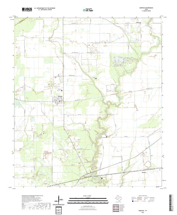 2022 Midfield2022 Print · USGSMatagorda County coastal prairies and river bends appear in detail during the early 2020s, showing the enduring rural layout of this South Texas region. Genealogists can locate several historic burial sites, including Cornelius Cem, Hawley Cem, and Midfield Cem.
 - 2022 Map of Francitas NE, 2022 Print
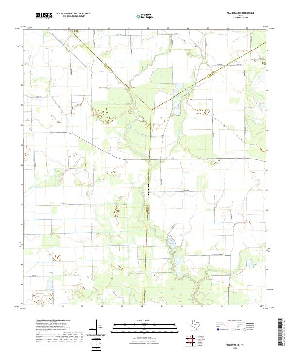 2022 Francitas NE2022 Print · USGSThe Texas Gulf Coast prairie comes into focus at the intersection of Jackson, Wharton, and Matagorda counties in the early 2020s. Researchers can trace the rural landscape through family-named landmarks like Strarup Rd, Dornac Rd, and Reservoir Number 4.
 - 2022 Map of Pledger, 2022 Print
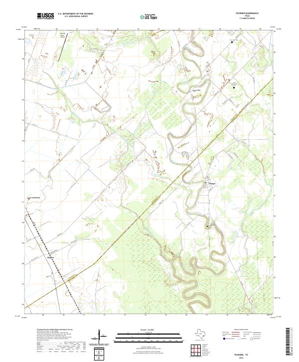 2022 Pledger2022 Print · USGSThe Wharton and Matagorda county lines meet in this coastal prairie landscape during the early 2020s. Local historians and genealogists can trace the rural communities of Pledger and Magnet or locate family sites at Old Bethlehem Cem and Union Cem.
 - 2022 Map of Danciger, 2022 Print
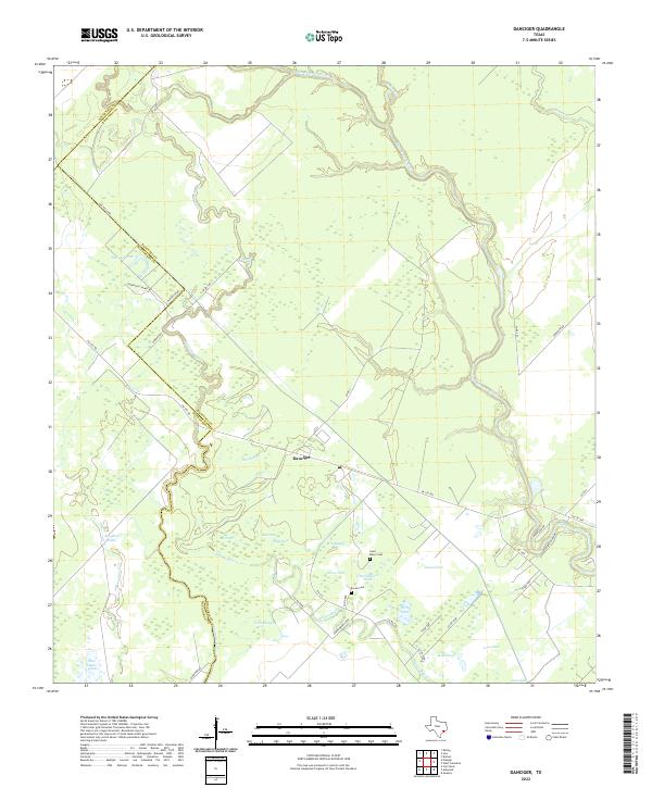 2022 Danciger2022 Print · USGSThe community of Danciger and the winding San Bernard River define this coastal prairie landscape in the early twenty-first century. Family historians can locate Saint Marys Cem and Brown Cem among the many ponds and sloughs like Dance Bayou.
 - 2022 Map of Guy, 2022 Print
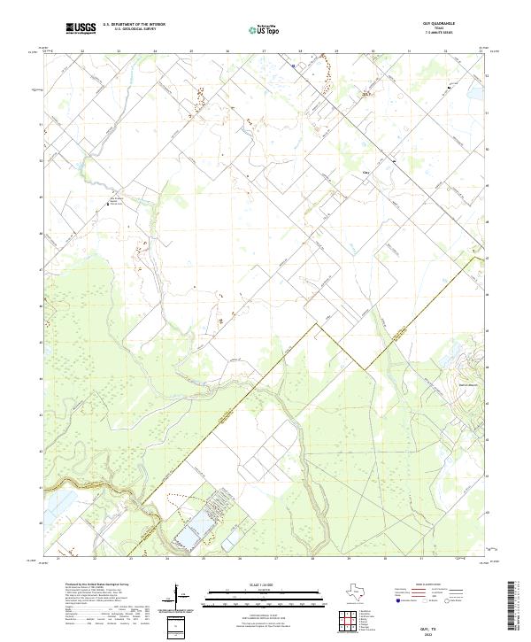 2022 Guy2022 Print · USGSThe rural tri-county border of Fort Bend, Wharton, and Brazoria comes alive in this survey of the plains. Genealogists and local historians can locate the New Prospect Baptist Church, Guy Cem, and the prominent rise of Damon Mound among the coastal prairies.
 - 2022 Map of El Campo SE, 2022 Print
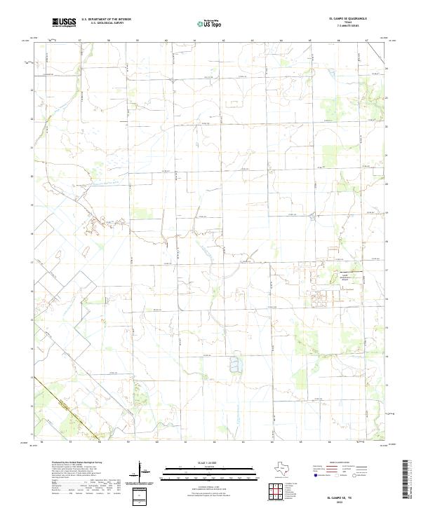 2022 El Campo SE2022 Print · USGSWharton and Jackson counties in 2022 are defined by the intersection of coastal prairie agriculture and local aviation. Trace rural land boundaries near Smith Aviation Inc Airport and along the banks of E Carancahua Cr and Moccasin Cr.
 - 2022 Map of New Taiton, 2022 Print
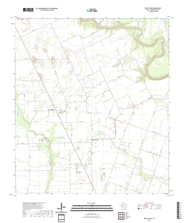 2022 New Taiton2022 Print · USGSWharton County agricultural lands are mapped here in the early 2020s, showing the intersection of rural life and coastal prairie drainage. You can locate the Saint John Nepomucene Catholic Cem and trace the paths of Mott Slough and Jones Creek.
 - 2022 Map of Ganado NE, 2022 Print
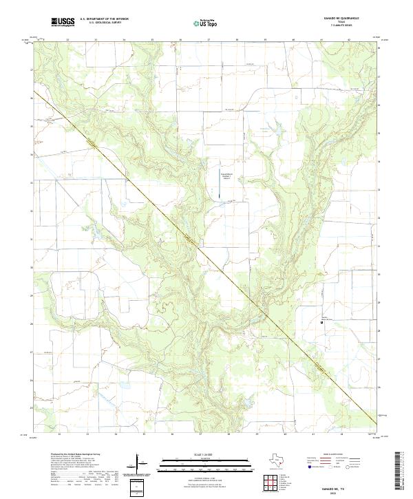 2022 Ganado NE2022 Print · USGSThe coastal plain of Wharton and Jackson Counties comes into focus in this recent survey of rural Texas ranchland. Researchers can locate Sandies Memorial Cemetery and trace the winding paths of Sandy Creek and Goldenrod Creek.
 - 2022 Map of Boling, 2022 Print
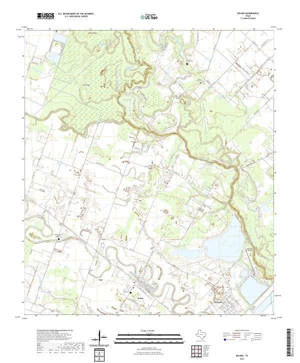 2022 Boling2022 Print · USGSCoastal prairie and river bottomlands define this portion of the Texas Gulf Coast in the early 2020s. Genealogists and local historians can trace family sites at Mount Pilgrim Baptist Church Cem and the settlements of Boling and Newgulf.
 - 2022 Map of Eagle Lake, 2022 Print
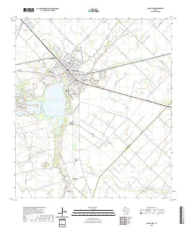 2022 Eagle Lake2022 Print · USGSColorado County at the start of the 2020s shows a landscape where the city of Eagle Lake is anchored by its namesake water body. Genealogists can trace family history through numerous sites including Rising Star Cem, Boykin Cem, and Matthews.
 - 2022 Map of Wharton, 2022 Print
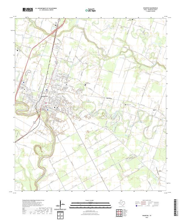 2022 Wharton2022 Print · USGSWharton and its surrounding riverlands are captured here in the early 2020s, showing the intersection of civic life and the Gulf Coast landscape. Researchers can locate family sites at the Wharton Hispanic Cem, Jawbone Cem, or the Roberts Family Cem near Peach Creek.
 - 2022 Map of Louise, 2022 Print
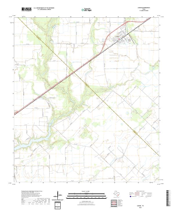 2022 Louise2022 Print · USGSThe settlement of Louise and its surrounding ranch lands are shown in this contemporary study of the Wharton County plains. Researchers can trace the local drainage system of Mustang Creek and its tributaries, or locate rural landmarks like the Flying V Ranch Airport.
 - 2022 Map of Kendleton, 2022 Print
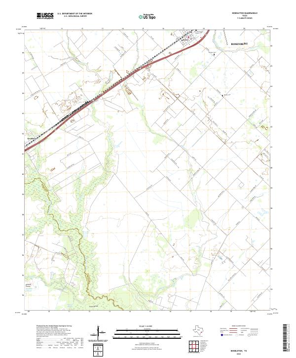 2022 Kendleton2022 Print · USGSThe Fort Bend and Wharton County line follows the San Bernard River in this modern survey of the Texas prairie. Genealogists can locate family names at Modena Cem, Friedens Cem, and the historic settlements of Kendleton and Beasley.
 - 2022 Map of East Bernard, 2022 Print
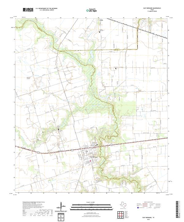 2022 East Bernard2022 Print · USGSThe coastal prairies of Wharton and Austin counties are shown in detail as they appeared in the early 2020s. Researchers can locate numerous local landmarks including Czech National Cem, the San Bernard River, and Bernard Prairie.
 - 2022 Map of Bonus, 2022 Print
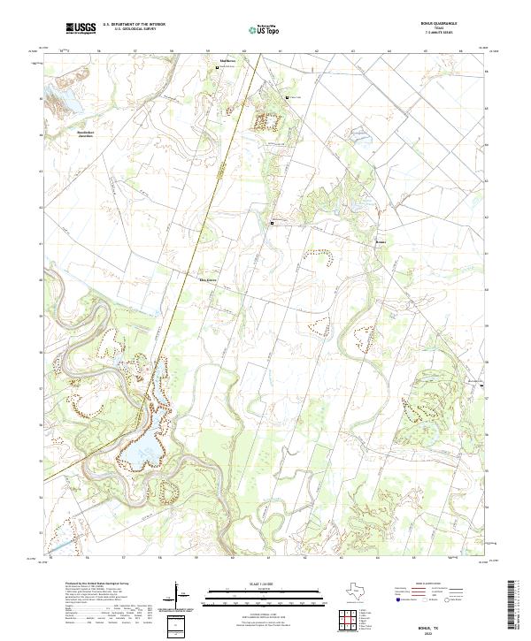 2022 Bonus2022 Print · USGSWharton and Colorado counties are captured here in the early twenty-first century as the agricultural landscape remains deeply tied to the Colorado River. Genealogists and local historians can trace family-named sites such as Union Hill Cemetery, Elm Grove Cemetery, and the settlement of Bonus.
 - 2022 Map of Speaks, 2022 Print
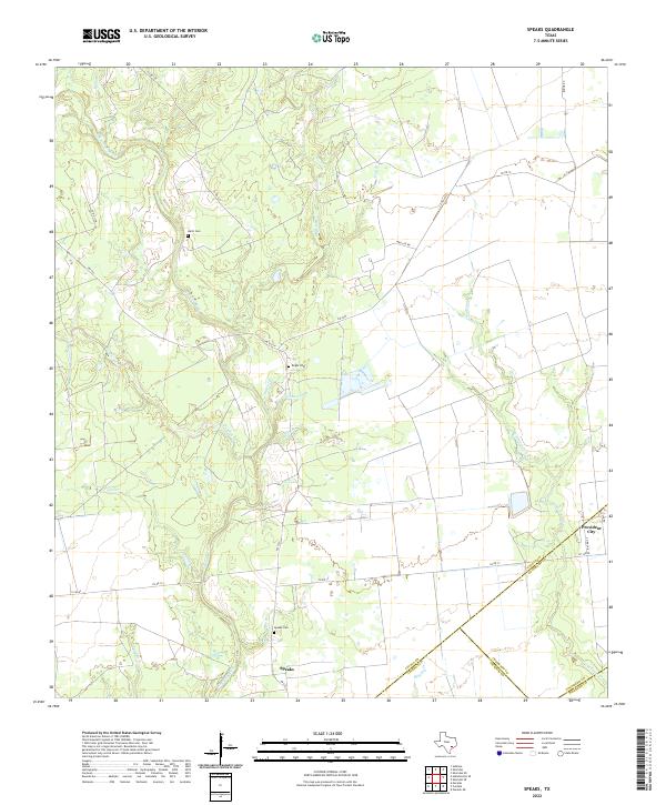 2022 Speaks2022 Print · USGSSouthern Lavaca County and its neighbors are captured here in a moment of rural continuity within the Texas coastal plains. Genealogists can locate family landmarks such as Speaks Cemetery and Hartt Cemetery along the winding course of the Navidad River.
 - 2022 Map of Glen Flora, 2022 Print
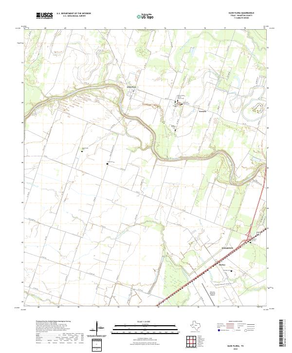 2022 Glen Flora2022 Print · USGSWharton and the Colorado River bottomlands are captured here in a period of modern agricultural and civic continuity. Genealogists can trace family heritage through numerous rural sites like Mount Calvary Baptist Church Cem, Crescent Cem, and Mackay Cem.
 - 2022 Map of Garwood, 2022 Print
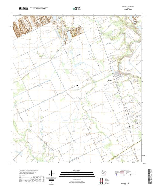 2022 Garwood2022 Print · USGSThe Colorado River lowlands and agricultural prairies are captured here in the early twenty-first century. Researchers can trace rural lineages through numerous local burial sites like Lehrer Memorial Cem, Nada Cem, and Garwood Cem.
 - 2022 Map of Lissie, 2022 Print
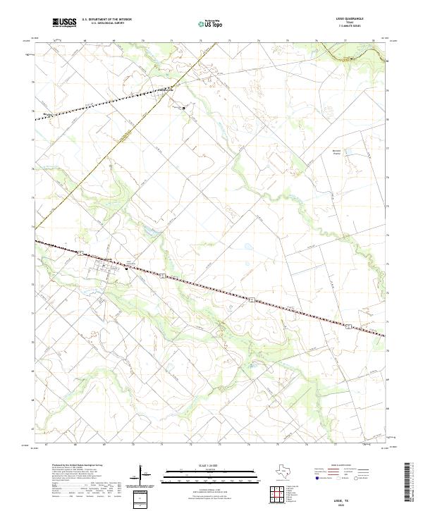 2022 Lissie2022 Print · USGSThe Wharton County prairie comes into focus in this recent survey of the Texas coastal plains. Genealogists and local historians can trace family ties at the Lissie Community Cem and Chesterville Cem or explore the drainage of Middle Bernard Cr.
 - 2022 Map of Sheridan SE, 2022 Print
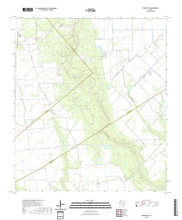 2022 Sheridan SE2022 Print · USGSTexas ranching and prairie lands are detailed here as they appeared in 2022 at the intersection of Colorado, Lavaca, and Wharton counties. Researchers can trace local landmarks like Golden Rod Cemetery and the drainage of Lost Fork Goldenrod Creek.
 - 2022 Map of Rexville, 2022 Print
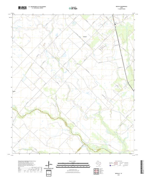 2022 Rexville2022 Print · USGSSoutheast Texas prairie land is captured here in the early 2020s at the junction of Austin, Colorado, and Wharton Counties. Researchers can trace the rural infrastructure around Sealy and Beard, or locate family sites near the Holy Cross Cem and the San Bernard River.
 - 2022 Map of Hahn, 2022 Print
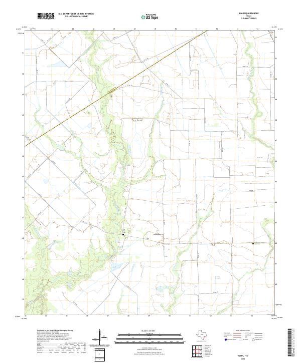 2022 Hahn2022 Print · USGSWharton and Colorado Counties appear in the early 2020s as a quiet expanse of Texas coastal plain defined by winding creek beds and rural farm roads. Genealogists can trace family footprints at Pin Oak Cem and Hahn Cem or follow the paths of Pinoak Cr and Lookout Cr.
 - 2022 Map of Egypt, 2022 Print
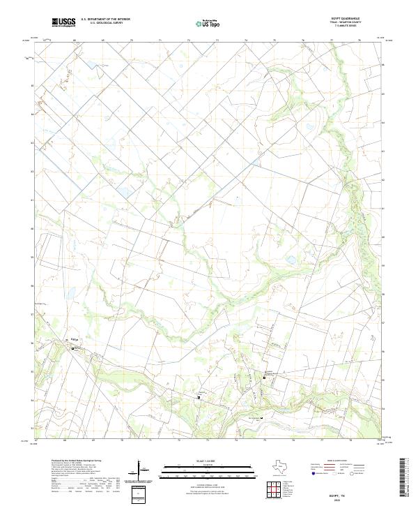 2022 Egypt2022 Print · USGSWharton County’s agricultural heartland is documented here in the early twenty-first century, centered on the settlement of Egypt. Local historians can trace family legacy through several burial sites including Sandridge Cem and Camp Zion Cem.
 - 2022 Map of Lane City SE, 2022 Print
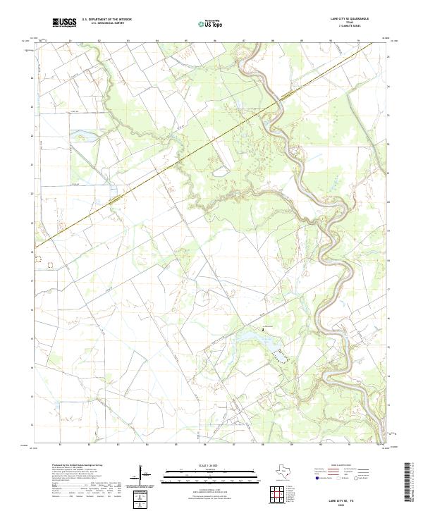 2022 Lane City SE2022 Print · USGSThe coastal plains of Matagorda and Wharton counties appear here in the early twenty-first century, defined by the winding Colorado River. Genealogists and local historians can trace family-named sites like the Le Tulle Cem, Jennings Lake, and the long-established Pierce Canal.
 - 2022 Map of Gobbler Creek, 2022 Print
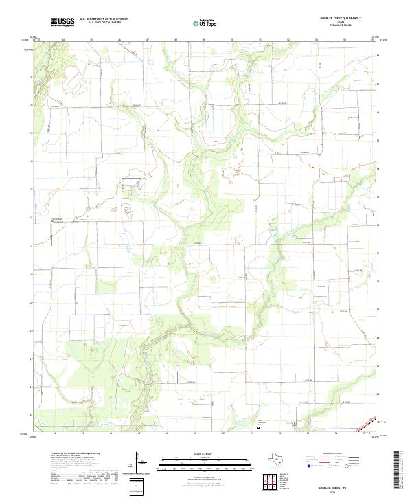 2022 Gobbler Creek2022 Print · USGSCoastal Texas ranching country comes into focus in this recent survey of the Wharton County plains. Local historians and genealogists can trace the rural road network and find landmarks like Saint Procopius Cem and the Norris Raun Ranch Airport.
Showing maps 1-25 of 31
Top cities of Wharton County
Frequently asked questions
- What are the different types of historical maps available for Wharton County?
- What is the oldest map of Wharton County?
- Where can I purchase historical maps of Wharton County for my home or office?
- Where can I download high-res historical maps of Wharton County?
- Are there historical topographic maps available for Wharton County?
- Is there historical aerial imagery available for Wharton County?
- Where are historical maps of Wharton County sourced from?