Loading...
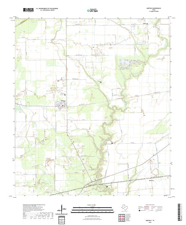
Loading map...2022 Map of Midfield
USGS Topo · Published 2022About this map
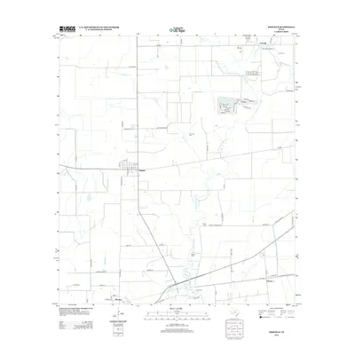
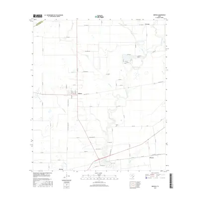
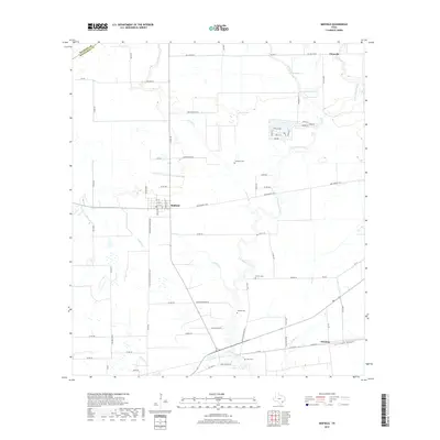
Midfield and its surrounding coastal prairies of Matagorda County are defined by an intricate network of waterways draining toward the Gulf. The Tres Palacios River meanders through the central landscape, fed by numerous tributaries including Juanita Cr, Willow Cr, and Wallace Cr. This 2022 survey captures the persistent rural structure of the region, where small settlements like Clemville and Elmaton anchor a grid of country roads and farm-to-market routes.
Find a feature on this map
78 named features on this map. Tap any name to fly to it.
Don’t see what you’re looking for? This feature index may not catch every label — zoom into the map to look around manually.
Map Details
Date Portrayed2022
Date Published2022
PublisherU.S. Geological Survey
Map TypeTopographic
Scale1:24,000
Physical Dimensions24 x 29 inches
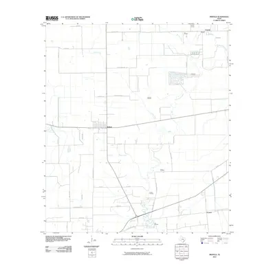
Editions of this 2022 Midfield Map
This is the sole edition of this map. No revisions or reprints were ever made.
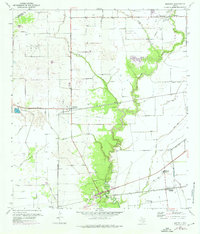
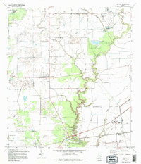
Historical Maps of Midfield Through Time
7 maps found
Featured Locations
Source Details
SourceU.S. Geological Survey
CopyrightPublic Domain