Old Maps of Shamrock, Texas for Academic Research
Study the evolution of Shamrock with 15 high-resolution historic maps. Whether you're teaching, researching, or modeling changes in land use, these maps provide essential visual documentation of urban, environmental, and geographic change.
- Analyze long-term change: Track patterns in development, transportation, and natural features.
- Ideal for environmental or urban studies: Support academic projects with primary historical map data.
- Use in the classroom or lab: Educators and researchers rely on these maps to bring historical context to life.
These maps are a powerful tool for teaching, research, and visualizing how Shamrock has changed over the decades.
Shamrock, TX maps
(15)- 1954 Map of Amarillo, 1966 Print
 1954 Amarillo1966 Print · USGSThe Texas Panhandle in the mid-1960s shows a landscape of rising industrial power and deep-rooted ranching tradition. Local historians can trace the paths of the Panhandle and Santa Fe railroad or locate sites like the Pantex Ordnance Plant and Mobeetie.2 unique versions available
 - 1958 Map of Amarillo
 1958 Amarillo1958 Print · USGSThe Texas Panhandle in the mid-1950s reveals a landscape of expanding military installations and oil-rich rail towns. Local historians can trace the development of Amarillo Air Force Base or locate smaller settlements like Magic City and New Mobeetie.
 - 1963 Map of Shamrock East, 1967 Print
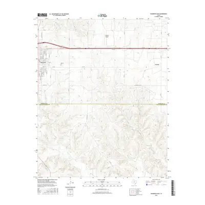
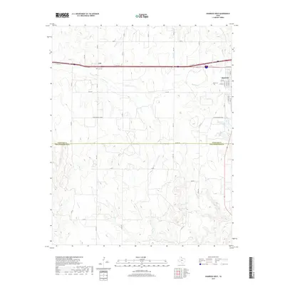
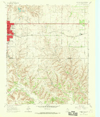 1963 Shamrock East1967 Print · USGSShamrock and the northern Panhandle are captured here in the early sixties as the oil economy and rail lines defined local life. Genealogists can trace local landmarks like Bethel Ch, the town Cemetery, and the Chicago Rock Island and Pacific railroad.2 unique versions available
 - 1963 Map of Shamrock West, 1967 Print
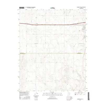
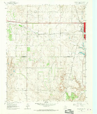 1963 Shamrock West1967 Print · USGSThe Texas Panhandle comes into focus in the 1960s as a vital junction of the Fort Worth and Denver and Chicago Rock Island and Pacific railroads. Researchers can trace the layout of Shamrock and rural landmarks like Lela, Lone Mound Ch, and the local Rodeo Grounds.2 unique versions available
 - 1983 Map of Shamrock
 1983 Shamrock1983 Print · USGSThe Texas Panhandle in the early 1980s reveals a landscape shaped by petroleum and the rail lines of the southern plains. Genealogists and historians can trace the Chicago Rock Island and Pacific corridor through Mc Lean and Shamrock, or locate smaller centers like Magic City and Lefors.
 - 2010 Map of Shamrock East, 2010 Print
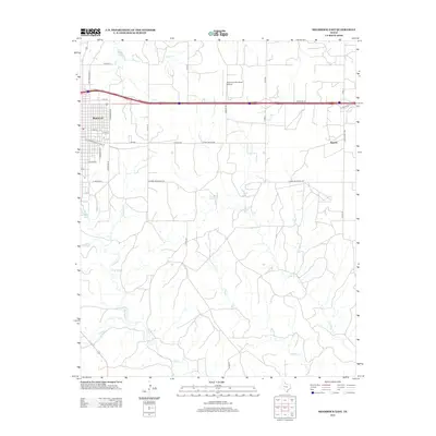
 2010 Shamrock East2010 Print · USGSCovers Shamrock, including Norrick, Wheeler County, and other nearby areas
 - 2010 Map of Shamrock West, 2010 Print
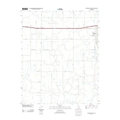
 2010 Shamrock West2010 Print · USGSCovers Shamrock, including Lela, Wheeler County, and other nearby areas
 - 2012 Map of Shamrock West, 2012 Print
 2012 Shamrock West2012 Print · USGSCovers Shamrock, including Lela, Wheeler County, and other nearby areas
 - 2012 Map of Shamrock East, 2012 Print
 2012 Shamrock East2012 Print · USGSCovers Shamrock, including Norrick, Wheeler County, and other nearby areas
 - 2016 Map of Shamrock West, 2016 Print
 2016 Shamrock West2016 Print · USGSCovers Shamrock, including Lela, Wheeler County, and other nearby areas
 - 2016 Map of Shamrock East, 2016 Print
 2016 Shamrock East2016 Print · USGSCovers Shamrock, including Norrick, Wheeler County, and other nearby areas
 - 2019 Map of Shamrock West, 2019 Print
 2019 Shamrock West2019 Print · USGSCovers Shamrock, including Lela, Wheeler County, and other nearby areas
 - 2019 Map of Shamrock East, 2019 Print
 2019 Shamrock East2019 Print · USGSCovers Shamrock, including Norrick, Wheeler County, and other nearby areas
 - 2022 Map of Shamrock East, 2022 Print
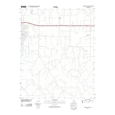
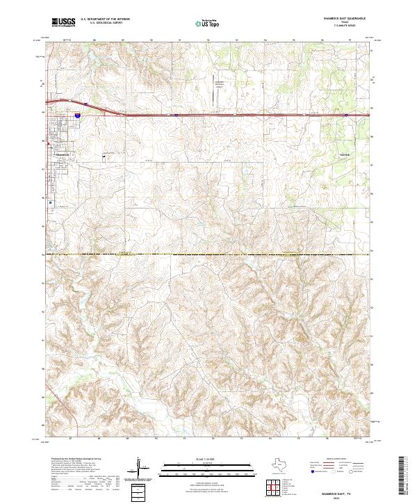 2022 Shamrock East2022 Print · USGSThe eastern outskirts of Shamrock and the surrounding plains of Wheeler County are captured here in the early twenty-first century. Genealogists and local researchers can trace family plots at Shamrock Cemetery or follow the drainages of Raven Creek and Crow Creek.
 - 2022 Map of Shamrock West, 2022 Print
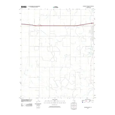
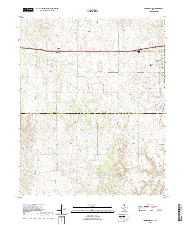 2022 Shamrock West2022 Print · USGSThe Texas Panhandle comes into focus during the early twenty-first century as the plains meet the settled streets of Shamrock. Genealogists and local historians can trace rural property access and burial sites like Lela Cem, Bowers Cem, and the path of Long Dry Cr.
End of results
Showing maps 1-15 of 15
Top cities near Shamrock
Frequently asked questions
- What are the different types of historical maps available for Shamrock?
- What is the oldest map of Shamrock?
- Where can I purchase historical maps of Shamrock for my home or office?
- Where can I download high-res historical maps of Shamrock?
- Are there historical topographic maps available for Shamrock?
- Is there historical aerial imagery available for Shamrock?
- Where are historical maps of Shamrock sourced from?