Old Maps of Clara, Texas for Academic Research
Study the evolution of Clara with 11 high-resolution historic maps. Whether you're teaching, researching, or modeling changes in land use, these maps provide essential visual documentation of urban, environmental, and geographic change.
- Analyze long-term change: Track patterns in development, transportation, and natural features.
- Ideal for environmental or urban studies: Support academic projects with primary historical map data.
- Use in the classroom or lab: Educators and researchers rely on these maps to bring historical context to life.
These maps are a powerful tool for teaching, research, and visualizing how Clara has changed over the decades.
Clara, TX maps
(11)- 1915 Map of Clara, 1961 Print
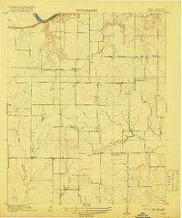
 1915 Clara1961 Print · USGSWichita County was a land of rural schoolhouses and river crossings during the early twentieth century. Researchers can trace the original locations of Fairview School, Wyeth School, and the settlement of Clara along the banks of the Red River.
 - 1918 Map of Clara
 1918 Clara1918 Print · USGSThe North Texas borderlands along the Red River appear here during the height of the early twentieth-century oil boom era. Researchers can locate the early rural settlements of Clara and Stringtown, alongside historic country schoolhouses like Wyeth School.2 unique versions available
 - 1955 Map of Lawton, 1958 Print
 1955 Lawton1958 Print · USGSSouthwestern Oklahoma and North Texas are shown here in the mid-fifties, dominated by the Wichita Mountains and the vital Red River watershed. Genealogists and historians can trace the foundations of Lawton alongside rural landmarks like Rainy Mountain Church and Pleasant Hill School.5 unique versions available
 - 1957 Map of Burkburnett, 1958 Print
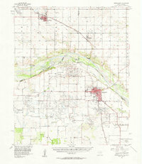 1957 Burkburnett1958 Print · USGSThe Red River valley in the late fifties was a bustling corridor of oil production and rail transport. Genealogists and historians can trace the foundations of Burkburnett and Grandfield, finding old sites like Clara Ch and the Red River Oil Field.
 - 1972 Map of Clara, 1975 Print
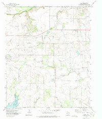 1972 Clara1975 Print · USGSWichita County was defined by its petroleum landscape in the 1970s, characterized by expansive energy infrastructure and small rural hubs. Researchers can trace the layout of the Clara Oil Field, locate the Clara Cem, and follow the path of Tenth Cavalry Creek.
 - 1985 Map of Burkburnett, 1986 Print
 1985 Burkburnett1986 Print · USGSThe Red River valley and North Texas oil fields are captured here in the mid-eighties, showing the vital connection between military hubs and rail towns. Researchers can trace the path of the Missouri Kansas Texas railroad through Burkburnett or locate Waurika Lake and Sheppard Air Force Base.2 unique versions available
 - 2011 Map of Clara, 2011 Print
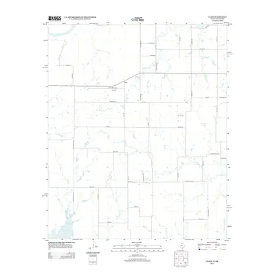
 2011 Clara2011 Print · USGSCovers Clara, including Wichita County, Tillman County, and other nearby areas
 - 2012 Map of Clara, 2012 Print
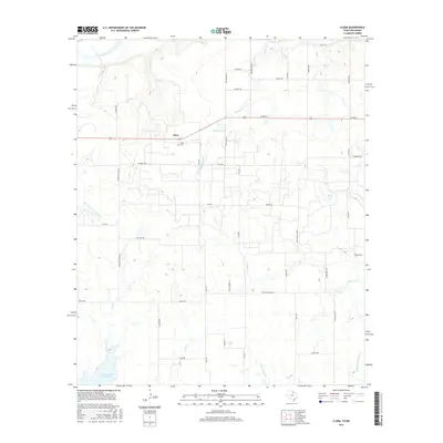
 2012 Clara2012 Print · USGSCovers Clara, including Wichita County, Tillman County, and other nearby areas
 - 2016 Map of Clara, 2016 Print
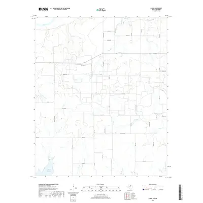
 2016 Clara2016 Print · USGSCovers Clara, including Wichita County, Tillman County, and other nearby areas
 - 2019 Map of Clara, 2019 Print
 2019 Clara2019 Print · USGSCovers Clara, including Wichita County, Tillman County, and other nearby areas
 - 2022 Map of Clara, 2022 Print
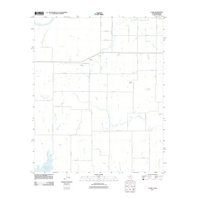
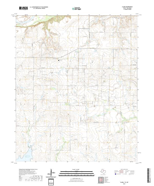 2022 Clara2022 Print · USGSNorthwest of Wichita Falls during the late twenty-teens, this area along the Red River shows a landscape of steady agricultural production and rural homesteads. Genealogists and local historians can trace family land ties via Clara Cem and landmarks like Wyeth School Rd or Reilly Lake.
End of results
Showing maps 1-11 of 11
Top cities near Clara
- Wichita Falls historical maps
- Burkburnett historical maps
- Iowa Park historical maps
- Electra historical maps
- Grandfield historical maps
- Randlett historical maps
See more
Frequently asked questions
- What are the different types of historical maps available for Clara?
- What is the oldest map of Clara?
- Where can I purchase historical maps of Clara for my home or office?
- Where can I download high-res historical maps of Clara?
- Are there historical topographic maps available for Clara?
- Is there historical aerial imagery available for Clara?
- Where are historical maps of Clara sourced from?