
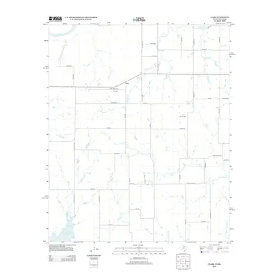
1915 Map of Clara
USGS Topo · Published 1961About this map
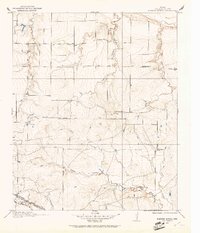
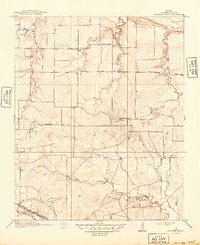
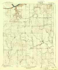
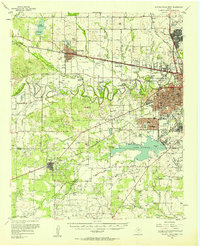
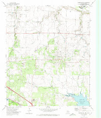
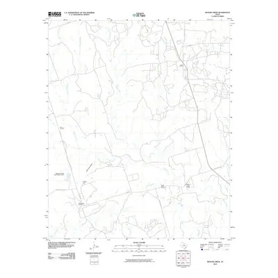
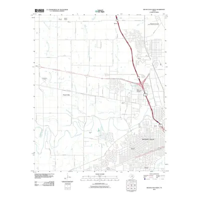
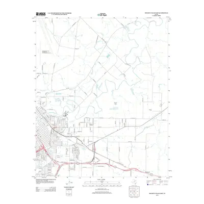
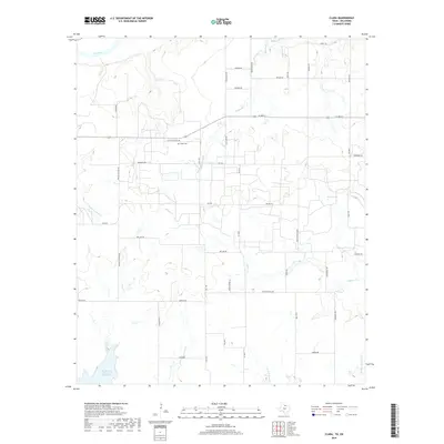
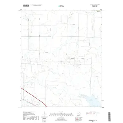
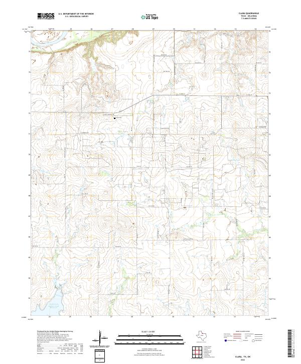
The Red River forms a winding natural boundary at the northern edge of this landscape, separating Wichita County from Tillman County along the Texas-Oklahoma border. This 1915 survey shows a rural society defined by its local institutions, specifically the prominent placement of neighborhood schools like Fairview School and Wyeth School. The settlement of Clara serves as a central point along Electra Road, while Stringtown sits further east near the bend of Burkburnett Road. The terrain is deeply incised by several watercourses, including Wildhorse Creek and Gilbert Creek, which likely dictated the placement of early farmsteads and transport routes. This sheet provides a detailed view of North Texas before later developments altered the rural school system and road network.
Find a feature on this map
15 named features on this map. Tap any name to fly to it.
Don’t see what you’re looking for? This feature index may not catch every label — zoom into the map to look around manually.
Map Details
Editions of this 1915 Clara Map
This is the sole edition of this map. No revisions or reprints were ever made.
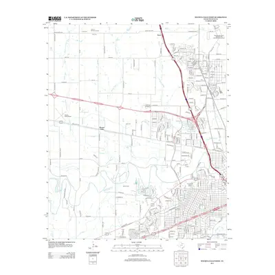
Historical Maps of Clara Through Time
53 maps found
1915 Barwise School
Wichita County, TX
1915 Clara
Wichita County, TX
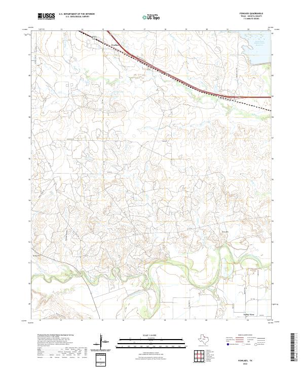
1916 Fowlkes
Wichita County, TX
1917 Beaver Creek
Wichita County, TX
1918 Barwise School
Wichita County, TX
1918 Clara
Wichita County, TX
1919 Fowlkes
Wichita County, TX

1920 Beaver Creek
Wichita County, TX
1957 Wichita Falls East
Wichita County, TX
1957 Wichita Falls West
Wichita County, TX
1957 Wichita Falls West
Wichita County, TX
1968 Beaver Creek
Wichita County, TX
1968 Fowlkes
Wichita County, TX
1972 Clara
Wichita County, TX
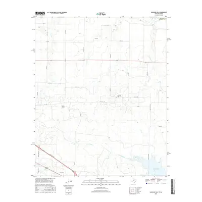
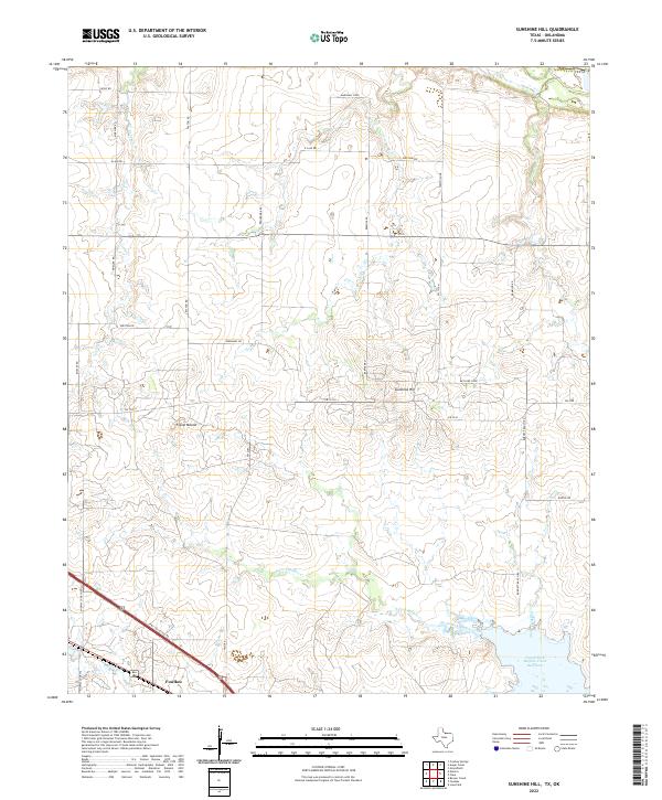
1972 Sunshine Hill
Wichita County, TX
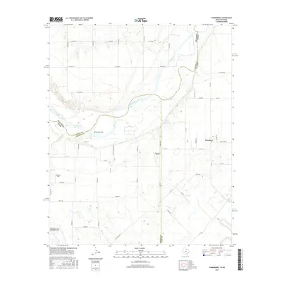
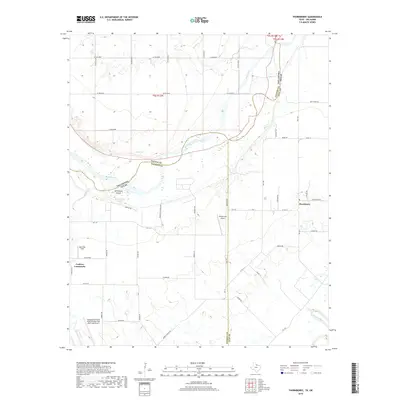
1972 Thornberry
Wichita County, TX
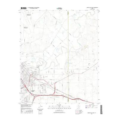
1972 Wichita Falls East
Wichita County, TX
1972 Wichita Falls West
Wichita County, TX
2010 Beaver Creek
Wichita County, TX
2010 Fowlkes
Wichita County, TX
2010 Thornberry
Wichita County, TX
2010 Wichita Falls East
Wichita County, TX
2010 Wichita Falls West
Wichita County, TX
2011 Clara
Wichita County, TX
2011 Sunshine Hill
Wichita County, TX
2012 Beaver Creek
Wichita County, TX
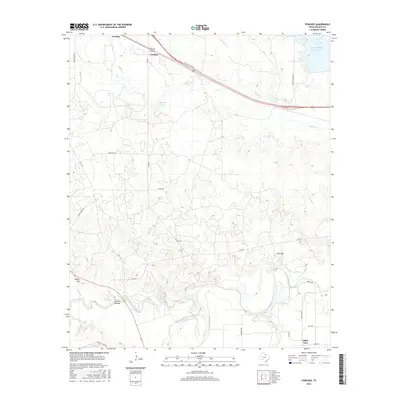
2012 Clara
Wichita County, TX
2012 Sunshine Hill
Wichita County, TX
2012 Thornberry
Wichita County, TX
2013 Fowlkes
Wichita County, TX
2013 Wichita Falls East
Wichita County, TX
2013 Wichita Falls West
Wichita County, TX
2016 Beaver Creek
Wichita County, TX
2016 Clara
Wichita County, TX
2016 Fowlkes
Wichita County, TX
2016 Sunshine Hill
Wichita County, TX
2016 Thornberry
Wichita County, TX
2016 Wichita Falls East
Wichita County, TX
2016 Wichita Falls West
Wichita County, TX
2019 Beaver Creek
Wichita County, TX
2019 Clara
Wichita County, TX
2019 Fowlkes
Wichita County, TX
2019 Sunshine Hill
Wichita County, TX
2019 Thornberry
Wichita County, TX
2019 Wichita Falls East
Wichita County, TX
2019 Wichita Falls West
Wichita County, TX
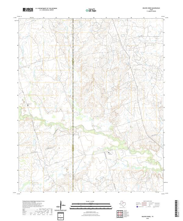
2022 Beaver Creek
Wichita County, TX
2022 Clara
Wichita County, TX
2022 Fowlkes
Wichita County, TX
2022 Sunshine Hill
Wichita County, TX
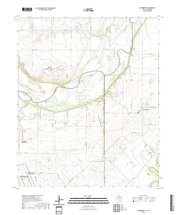
2022 Thornberry
Wichita County, TX
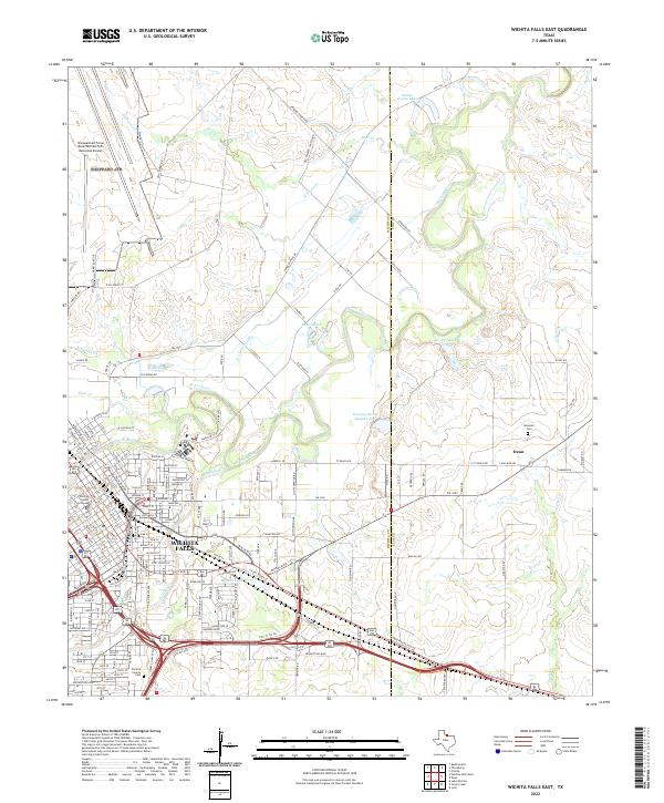
2022 Wichita Falls East
Wichita County, TX
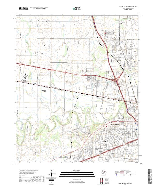
2022 Wichita Falls West
Wichita County, TX