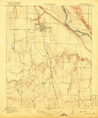
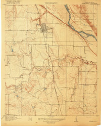
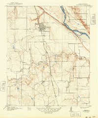
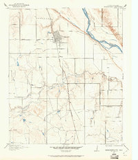
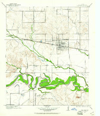
1918 Map of Buckburnett
USGS Topo · Published 1918About this map
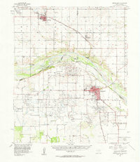
The Burkburnett townsite sits just south of the Red River at a pivotal moment in North Texas history, surveyed just as the regional oil boom was beginning to transform the landscape. The town's grid is established adjacent to the Wichita Falls and Northwestern railroad, which served as a vital artery for the transport of equipment and labor into the Wichita County fields. South of the main settlement, the land remains largely agricultural and open, defined by the winding course of Gilbert Creek and the presence of rural infrastructure like the Cashion School. The map illustrates the state boundary between Texas and Oklahoma following the river’s channel, a border that would soon become the center of intense legal and economic disputes as petroleum production moved into the riverbed. Transportation routes like the Electra Road connect the growing hub to neighboring districts, reflecting the early 20th-century transition from cattle ranching to industrial enterprise.
Find a feature on this map
11 named features on this map. Tap any name to fly to it.
Don’t see what you’re looking for? This feature index may not catch every label — zoom into the map to look around manually.
Map Details
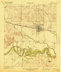
Editions of this 1918 Buckburnett Map
3 editions found
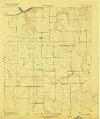
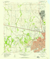
Other maps of this area

1915 · Clara
USGS Topo · 1:24,000
1915 · Burkburnett
USGS Topo · 1:24,000
1916 · Iowa Park
USGS Topo · 1:24,000
1918 · Clara
USGS Topo · 1:31,680
1918 · Iowa Park
USGS Topo · 1:31,680

1954 · Wichita Falls
USGS Topo · 1:250,000

1955 · Lawton
USGS Topo · 1:250,000
1957 · Wichita Falls West
USGS Topo · 1:24,000
1957 · Burkburnett
USGS Topo · 1:62,500
1957 · Randlett
USGS Topo · 1:62,500