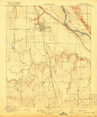
1916 Map of Iowa Park
USGS Topo · Published 1961About this map
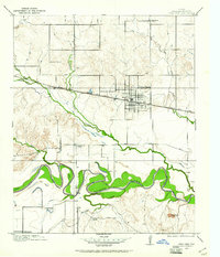
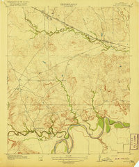
Iowa Park serves as the central hub of this North Texas survey, positioned along the vital corridor of the Fort Worth and Denver City railroad. The landscape is defined by the sweeping meanders of the Wichita River to the south and the convergent paths of Buffalo Creek and Stevens Creek near the town center. The surrounding rural districts are organized around a network of country schools, including Pond Creek School, Harmony School, and Deep Creek School, reflecting the decentralized community structure of the early twentieth century.
Find a feature on this map
23 named features on this map. Tap any name to fly to it.
Don’t see what you’re looking for? This feature index may not catch every label — zoom into the map to look around manually.
Map Details
Editions of this 1916 Iowa Park Map
This is the sole edition of this map. No revisions or reprints were ever made.
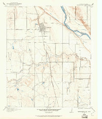
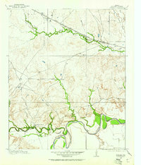
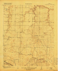
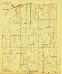
Other maps of this area

1915 · Clara
USGS Topo · 1:24,000
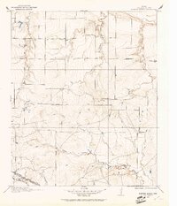
1915 · Barwise School
USGS Topo · 1:24,000
1915 · Burkburnett
USGS Topo · 1:24,000
1916 · Fowlkes
USGS Topo · 1:24,000
1918 · Buckburnett
USGS Topo · 1:31,680
1918 · Barwise School
USGS Topo · 1:31,680
1918 · Clara
USGS Topo · 1:31,680
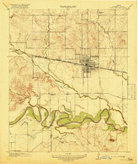
1918 · Iowa Park
USGS Topo · 1:31,680
1919 · Fowlkes
USGS Topo · 1:31,680

1954 · Wichita Falls
USGS Topo · 1:250,000