1916 Map of Fowlkes
USGS Topo · Published 1961About this map
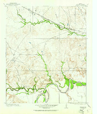
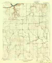
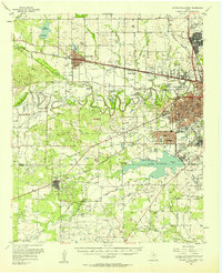
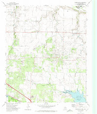
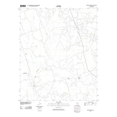
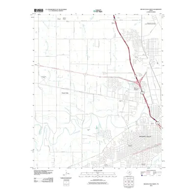
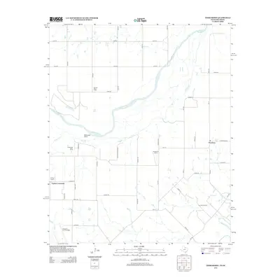
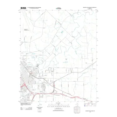
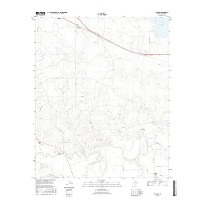
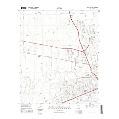
The Wichita River meanders through the southern reaches of this 1916 landscape, defining a terrain of carved creek beds and cattle-range geography in Wichita County. The settlement of Fowlkes serves as a primary reference point near the rail lines, representing the early twentieth-century development of North Texas before heavy industrialization. Transportation is dominated by the intersecting routes of the Fort Worth and Denver City and the Wichita Falls and Northwestern railroads, which facilitated the movement of goods and livestock through the region.
Find a feature on this map
18 named features on this map. Tap any name to fly to it.
Don’t see what you’re looking for? This feature index may not catch every label — zoom into the map to look around manually.
Map Details
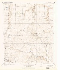
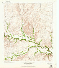
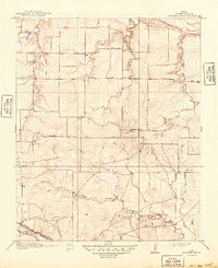
Editions of this 1916 Fowlkes Map
This is the sole edition of this map. No revisions or reprints were ever made.
Historical Maps of Fowlkes Through Time
53 maps found
1915 Barwise School
Wichita County, TX

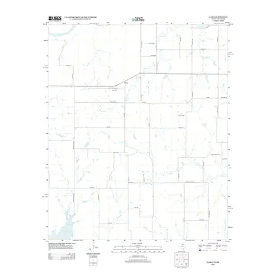
1915 Clara
Wichita County, TX
1916 Fowlkes
Wichita County, TX
1917 Beaver Creek
Wichita County, TX
1918 Barwise School
Wichita County, TX
1918 Clara
Wichita County, TX
1919 Fowlkes
Wichita County, TX

1920 Beaver Creek
Wichita County, TX
1957 Wichita Falls East
Wichita County, TX
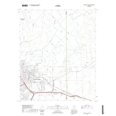
1957 Wichita Falls West
Wichita County, TX
1957 Wichita Falls West
Wichita County, TX
1968 Beaver Creek
Wichita County, TX
1968 Fowlkes
Wichita County, TX
1972 Clara
Wichita County, TX
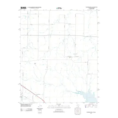
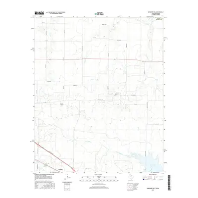
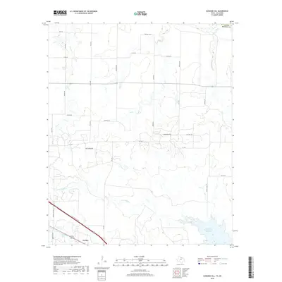
1972 Sunshine Hill
Wichita County, TX
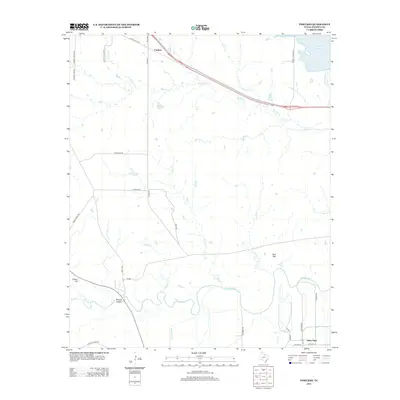
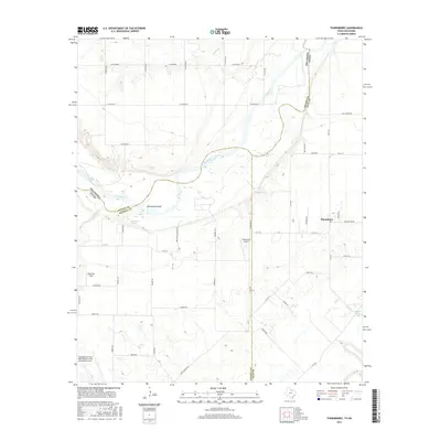
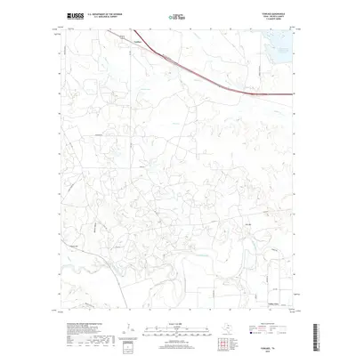
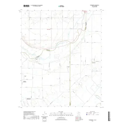
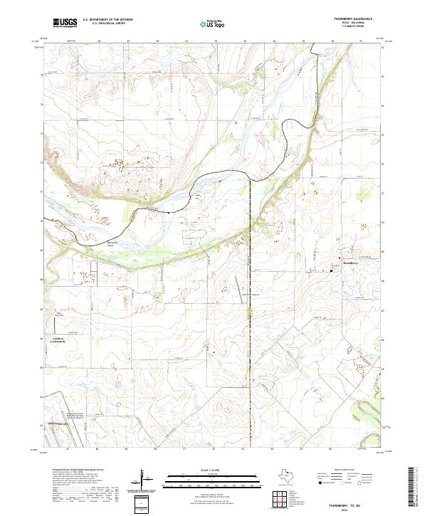
1972 Thornberry
Wichita County, TX
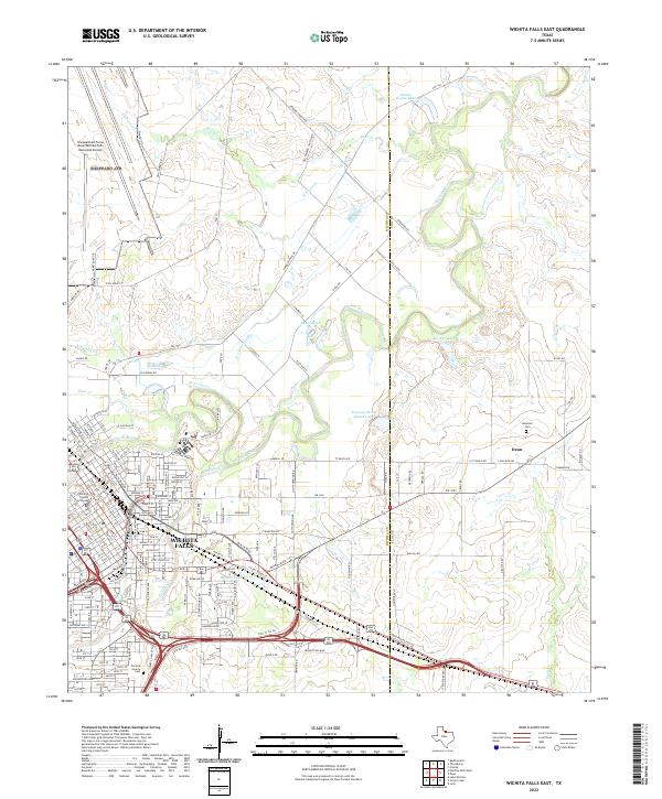
1972 Wichita Falls East
Wichita County, TX
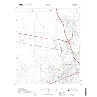
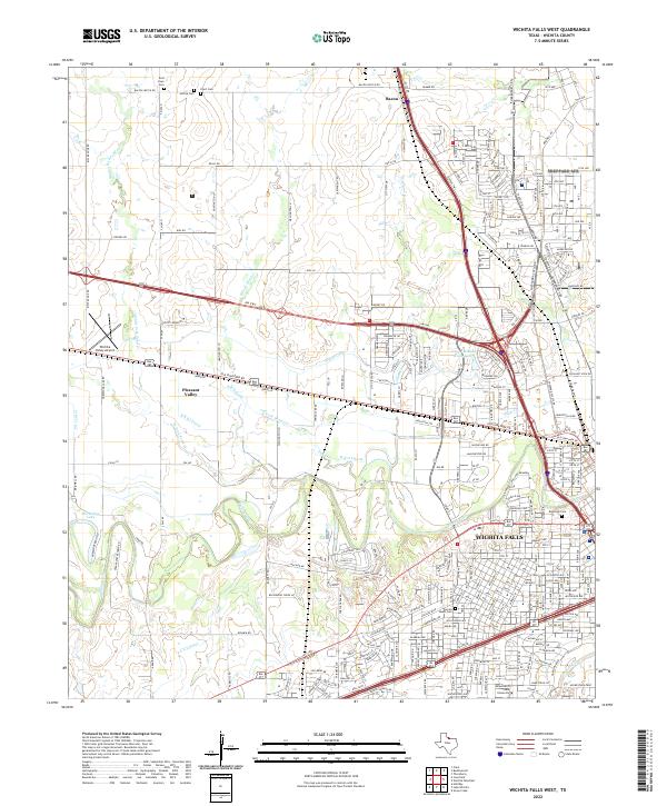
1972 Wichita Falls West
Wichita County, TX
2010 Beaver Creek
Wichita County, TX
2010 Fowlkes
Wichita County, TX
2010 Thornberry
Wichita County, TX
2010 Wichita Falls East
Wichita County, TX
2010 Wichita Falls West
Wichita County, TX
2011 Clara
Wichita County, TX
2011 Sunshine Hill
Wichita County, TX
2012 Beaver Creek
Wichita County, TX
2012 Clara
Wichita County, TX
2012 Sunshine Hill
Wichita County, TX
2012 Thornberry
Wichita County, TX
2013 Fowlkes
Wichita County, TX
2013 Wichita Falls East
Wichita County, TX
2013 Wichita Falls West
Wichita County, TX
2016 Beaver Creek
Wichita County, TX
2016 Clara
Wichita County, TX
2016 Fowlkes
Wichita County, TX
2016 Sunshine Hill
Wichita County, TX
2016 Thornberry
Wichita County, TX
2016 Wichita Falls East
Wichita County, TX
2016 Wichita Falls West
Wichita County, TX
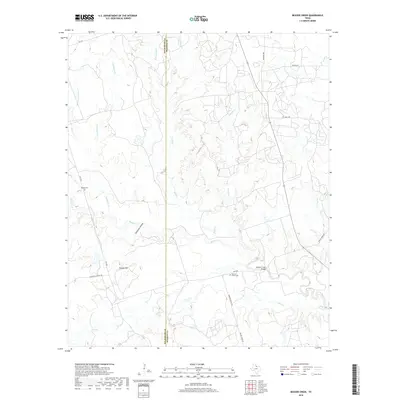
2019 Beaver Creek
Wichita County, TX
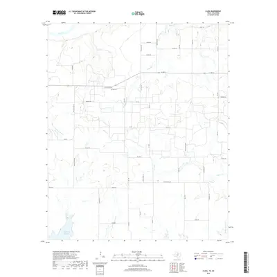
2019 Clara
Wichita County, TX
2019 Fowlkes
Wichita County, TX
2019 Sunshine Hill
Wichita County, TX
2019 Thornberry
Wichita County, TX
2019 Wichita Falls East
Wichita County, TX
2019 Wichita Falls West
Wichita County, TX
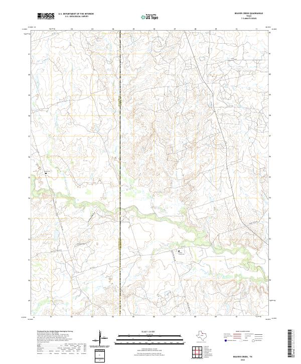
2022 Beaver Creek
Wichita County, TX
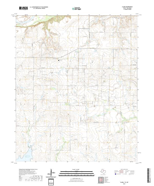
2022 Clara
Wichita County, TX
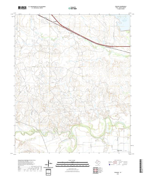
2022 Fowlkes
Wichita County, TX
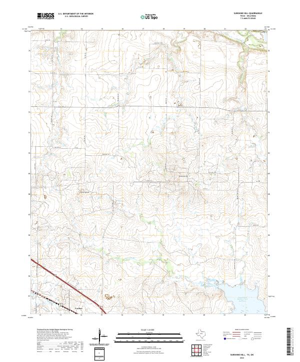
2022 Sunshine Hill
Wichita County, TX
2022 Thornberry
Wichita County, TX
2022 Wichita Falls East
Wichita County, TX
2022 Wichita Falls West
Wichita County, TX