
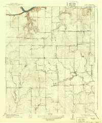
1918 Map of Clara
USGS Topo · Published 1918About this map
Clara and the surrounding plains of Wichita County are captured here just as North Texas was transitioning from ranching to an oil-dominated economy. This 1915 survey shows a rural landscape defined by the drainage of Wildhorse Creek and Gilbert Creek leading toward the Red River. The settlement pattern is organized around a grid of section lines and two primary thoroughfares: Electra Road and Burkburnett Road.
Find a feature on this map
14 named features on this map. Tap any name to fly to it.
Don’t see what you’re looking for? This feature index may not catch every label — zoom into the map to look around manually.
Map Details
Editions of this 1918 Clara Map
2 editions found
Other maps of this area

1915 · Clara
USGS Topo · 1:24,000

1915 · Barwise School
USGS Topo · 1:24,000

1915 · Burkburnett
USGS Topo · 1:24,000

1916 · Iowa Park
USGS Topo · 1:24,000

1916 · Fowlkes
USGS Topo · 1:24,000

1918 · Buckburnett
USGS Topo · 1:31,680

1918 · Barwise School
USGS Topo · 1:31,680

1918 · Iowa Park
USGS Topo · 1:31,680

1919 · Fowlkes
USGS Topo · 1:31,680

1954 · Wichita Falls
USGS Topo · 1:250,000