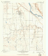
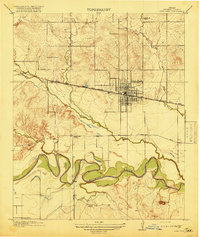
1915 Map of Burkburnett
USGS Topo · Published 1961About this map
Burkburnett stands as a established townsite just south of the Red River border during this mid-1910s survey. The landscape is defined by the winding course of the river, which separates Texas and Oklahoma, and the meandering path of Gilbert Creek through the southern half of the quadrangle. As the region transitioned into a more settled agricultural and industrial era, transportation networks like the Wichita Falls and Northwestern railroad and the Wichita Falls Road became vital connectors for local commerce and travel.
Find a feature on this map
9 named features on this map. Tap any name to fly to it.
Don’t see what you’re looking for? This feature index may not catch every label — zoom into the map to look around manually.
Map Details
Editions of this 1915 Burkburnett Map
This is the sole edition of this map. No revisions or reprints were ever made.
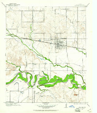
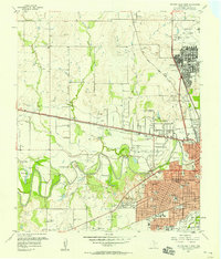
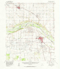
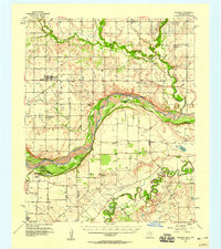
Other maps of this area

1915 · Clara
USGS Topo · 1:24,000
1916 · Iowa Park
USGS Topo · 1:24,000
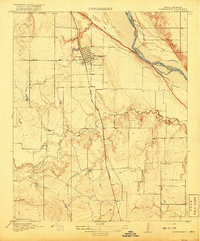
1918 · Buckburnett
USGS Topo · 1:31,680
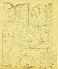
1918 · Clara
USGS Topo · 1:31,680
1918 · Iowa Park
USGS Topo · 1:31,680

1954 · Wichita Falls
USGS Topo · 1:250,000

1955 · Lawton
USGS Topo · 1:250,000
1957 · Wichita Falls West
USGS Topo · 1:24,000
1957 · Burkburnett
USGS Topo · 1:62,500
1957 · Randlett
USGS Topo · 1:62,500