1918 Map of Burkburnett
USGS Topo · Published 1918About this map
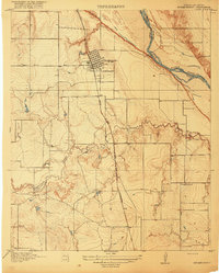
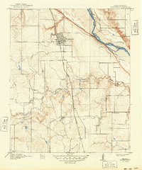
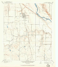
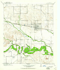
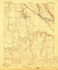
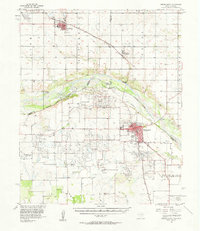
Burkburnett serves as the primary focal point of this 1915 survey, situated just south of the Red River which forms the border between Texas and Oklahoma. The town's grid is established adjacent to the Wichita Falls and Northwestern railroad, a critical link for the region's transport and economy just before the major oil boom of the late 1910s. The landscape is dominated by the meandering Gilbert Creek and a network of early rural roads, including the Electra Road heading west. Local history is anchored by markers such as the Cashion School and the small settlement of Schnum, providing a detailed look at the rural school districts and community centers that defined Wichita County during this era. The topographic relief emphasizes the bluffs and drainage patterns that lead into the river valley shared with Cotton and Wichita counties.
Find a feature on this map
9 named features on this map. Tap any name to fly to it.
Don’t see what you’re looking for? This feature index may not catch every label — zoom into the map to look around manually.
Map Details
Editions of this 1918 Burkburnett Map
3 editions found
Other maps of this area

1915 · Clara
USGS Topo · 1:24,000
1915 · Burkburnett
USGS Topo · 1:24,000
1916 · Iowa Park
USGS Topo · 1:24,000
1918 · Buckburnett
USGS Topo · 1:31,680
1918 · Clara
USGS Topo · 1:31,680
1918 · Iowa Park
USGS Topo · 1:31,680

1954 · Wichita Falls
USGS Topo · 1:250,000

1955 · Lawton
USGS Topo · 1:250,000
1957 · Wichita Falls West
USGS Topo · 1:24,000
1957 · Burkburnett
USGS Topo · 1:62,500