Old Maps of Hoot and Holler Crossing, Texas for Hiking & Exploration
Hike through history with 9 historic maps of Hoot and Holler Crossing. Explore old trails, ghost towns, and forgotten backroads — perfect for outdoor adventurers and local explorers.
- Rediscover forgotten places: Map out old mining camps, roads, and footpaths that no longer exist on modern maps.
- Layer with modern tools: Combine with LiDAR or satellite views to plan hikes through historical terrain.
- Made for exploration: Popular among hikers, overlanders, and local history lovers.
Use these maps to find adventure and explore the hidden past of Hoot and Holler Crossing.
Hoot and Holler Crossing, TX maps
(9)- 1954 Map of Wichita Falls, 1966 Print
 1954 Wichita Falls1966 Print · USGSNorth Texas in the mid-fifties is captured here as a landscape of expanding oil fields and vital rail corridors. Genealogists and historians can trace family roots through rural landmarks like Bacon Chapel and the rail-side growth of Seymour and Archer City.3 unique versions available
 - 1958 Map of Wichita Falls
 1958 Wichita Falls1958 Print · USGSNorth Texas during the late fifties reveals a landscape defined by the booming petroleum industry and established rail hubs. Researchers can trace the development of Wichita Falls and discover rural landmarks like Barton's Chapel or the Hull-Silk Oil Field.
 - 1966 Map of Grayback, 1968 Print
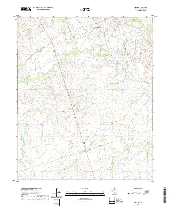
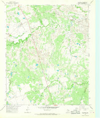 1966 Grayback1968 Print · USGSIn the mid-1960s, this portion of Wilbarger County was a busy intersection of ranching and oil production. Researchers can trace the OIL FIELD infrastructure and find local landmarks like Grayback, Zacaweista Ranch, and the Mack Cem.
 - 1985 Map of Lake Kemp
 1985 Lake Kemp1985 Print · USGSThe North Texas plains come into sharp focus in the mid-eighties as a region defined by its vast reservoirs and deep-rooted agricultural hubs. Genealogists and local historians can trace the rural landscape surrounding Seymour, the rail lines of the Burlington Northern, and landmarks like The Narrows.2 unique versions available
 - 2010 Map of Grayback, 2010 Print
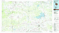
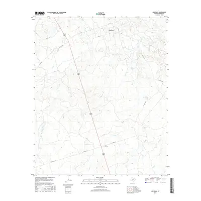
 2010 Grayback2010 Print · USGSCovers Hoot and Holler Crossing, including Midway Crossing, Grayback, and other nearby areas
 - 2012 Map of Grayback, 2012 Print
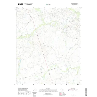
 2012 Grayback2012 Print · USGSCovers Hoot and Holler Crossing, including Midway Crossing, Grayback, and other nearby areas
 - 2016 Map of Grayback, 2016 Print
 2016 Grayback2016 Print · USGSCovers Hoot and Holler Crossing, including Midway Crossing, Grayback, and other nearby areas
 - 2019 Map of Grayback, 2019 Print
 2019 Grayback2019 Print · USGSCovers Hoot and Holler Crossing, including Midway Crossing, Grayback, and other nearby areas
 - 2022 Map of Grayback, 2022 Print
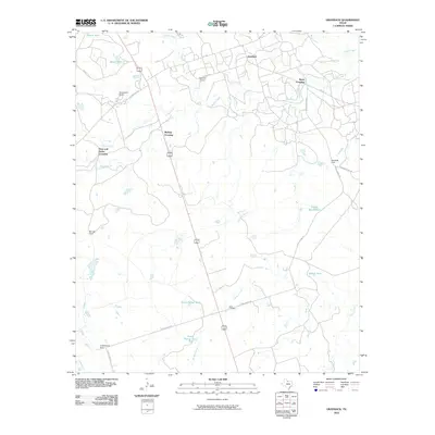
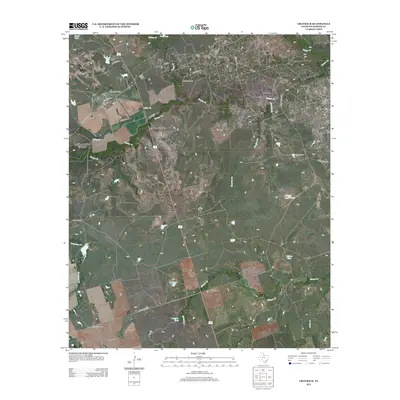
 2022 Grayback2022 Print · USGSGrayback and the surrounding Wilbarger County ranch lands are detailed here in the early twenty-first century. Family history researchers can locate Mack Cem and trace the drainage of Beaver Cr and Grapevine Creek across the plains.
End of results
Showing maps 1-9 of 9
Top cities near Hoot and Holler Crossing
Frequently asked questions
- What are the different types of historical maps available for Hoot and Holler Crossing?
- What is the oldest map of Hoot and Holler Crossing?
- Where can I purchase historical maps of Hoot and Holler Crossing for my home or office?
- Where can I download high-res historical maps of Hoot and Holler Crossing?
- Are there historical topographic maps available for Hoot and Holler Crossing?
- Is there historical aerial imagery available for Hoot and Holler Crossing?
- Where are historical maps of Hoot and Holler Crossing sourced from?