Old Maps of Colonia los Angeles, Texas
Explore 11 old maps of Colonia los Angeles, spanning from 1953 to today. These high-resolution historic maps reveal how streets, neighborhoods, landmarks, and natural features evolved over time — perfect for genealogy, metal detecting, research, and local history exploration.
What you can do with these maps:
- See how Colonia los Angeles changed over time: Compare historical maps to modern-day views to trace roads, homesites, rail lines & more.
- View detailed metadata: Each map includes creators, publishers, year, scale, and archive source.
- Overlay maps with satellite & LiDAR: Visualize the past alongside modern tools to explore terrain & human change.
- Trusted historical sources: Maps sourced from the USGS, Library of Congress, and other archives.
- Access maps your way: View online, download high-res files, or order prints for personal or research use.
Start exploring old maps of Colonia los Angeles to uncover forgotten places, hidden landmarks, and the deep history beneath your feet.
Colonia los Angeles, TX maps
(11)- 1953 Map of Brownsville
 1953 Brownsville1953 Print · USGSSouth Texas ranchlands and the Lower Rio Grande Valley are captured here in the early fifties as the region's irrigation and shipping networks expanded. Genealogists and historians can trace family landholdings like Tecolote Ranch or follow the route of the St Louis Brownsville and Mexico rail line through Sebastian and Yturria.
 - 1956 Map of Raymondville, 1958 Print
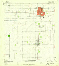 1956 Raymondville1958 Print · USGSRaymondville and Lyford are captured during the mid-century transition from ranching to a mix of irrigated farming and oil production. Genealogists and historians can trace family locations near Northward Sch, the Fox Airport, and La Piedad Cementerio Numero Dos.3 unique versions available
 - 1956 Map of Brownsville, 1969 Print
 1956 Brownsville1969 Print · USGSThe Texas-Mexico borderlands and the Gulf coast come alive in this mid-century survey of the Rio Grande Valley. Genealogists and historians can trace the reach of the Missouri Pacific rail lines through citrus country to schools like Las Yescas and Palm Grove.2 unique versions available
 - 1956 Map of Port Isabel, 1983 Print
 1956 Port Isabel1983 Print · USGSCoastal Texas and the Rio Grande Valley are shown here in the mid-twentieth century as the region balanced intensive agriculture with maritime trade. Researchers can trace historic rail lines like the SOUTHERN PACIFIC and locate rural landmarks such as Las Yescas Sch or the Armstrong Ranch.
 - 1962 Map of Brownsville
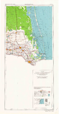 1962 Brownsville1962 Print · USGSThe Lower Rio Grande Valley in the early sixties was a landscape of coastal wildlands, booming oil fields, and international border commerce. Trace the development of this frontier region through landmarks like Harlingen Air Force Base, Boca Chica Island, and the Willamar Oil Field.
 - 1992 Map of Harlingen
 1992 Harlingen1992 Print · USGSSouth Texas in the early nineties shows a landscape defined by industrial growth and coastal conservation along the Rio Grande. Trace the rail lines of the Missouri Pacific through Raymondville or locate the historic Palo Alto Battlefield near Port Isabel.
 - 2010 Map of Raymondville, 2010 Print
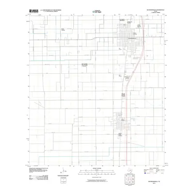 2010 Raymondville2010 Print · USGSWillacy County in the early twenty-first century reveals a landscape shaped by vast agricultural tracts and expanding residential colonias. Researchers can trace local heritage at La Piedad Cementerio Numero Uno or explore the transit hubs of Fox Airport and Lyford.
 - 2013 Map of Raymondville, 2013 Print
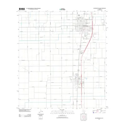 2013 Raymondville2013 Print · USGSWillacy County settlement and South Texas agricultural infrastructure are on full display in the early twenty-first century. Genealogists can trace local roots at Raymondville Cem or the La Piedad Cementerio Numero Uno, while landmarks like Bell Airfield map the region's transport history.
 - 2016 Map of Raymondville, 2016 Print
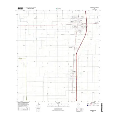 2016 Raymondville2016 Print · USGSThe Willacy County seat and the neighboring town of Lyford appear in great detail during the mid-2010s. Researchers can locate family plots at Raymondville Cem or La Piedad Cementerio Numero Uno, and trace the rural road network near Red I Ranch Co Rd.
 - 2019 Map of Raymondville, 2019 Print
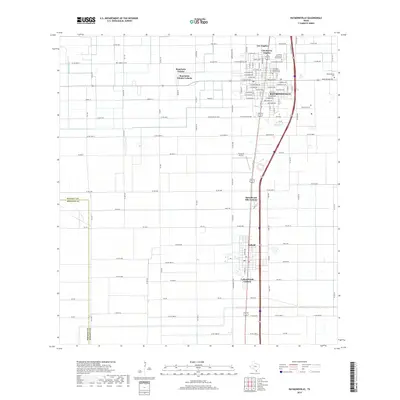 2019 Raymondville2019 Print · USGSRaymondville and Lyford are shown at the height of their modern expansion in this detailed 2019 survey of Willacy County. Researchers can trace local history through named residential areas like Colonia los Angeles or locate family plots in La Piedad Cementerio Numero Uno.
 - 2022 Map of Raymondville, 2022 Print
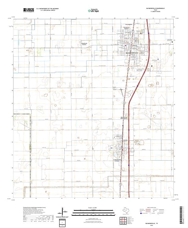 2022 Raymondville2022 Print · USGSThe northern reaches of the Rio Grande Valley are shown here in the early 2020s, centered on the growing county seat and its surrounding colonias. Local researchers can trace family sites at Evergreen Cemetery or locate civic landmarks like the Willacy County Courthouse.
End of results
Showing maps 1-11 of 11
Top cities near Colonia los Angeles
- Harlingen historical maps
- Raymondville historical maps
- Elsa historical maps
- Edcouch historical maps
- Lyford historical maps
- Sebastian historical maps
See more
Frequently asked questions
- What are the different types of historical maps available for Colonia los Angeles?
- What is the oldest map of Colonia los Angeles?
- Where can I purchase historical maps of Colonia los Angeles for my home or office?
- Where can I download high-res historical maps of Colonia los Angeles?
- Are there historical topographic maps available for Colonia los Angeles?
- Is there historical aerial imagery available for Colonia los Angeles?
- Where are historical maps of Colonia los Angeles sourced from?