Old Maps of El Chapote Colonia, Texas for Academic Research
Study the evolution of El Chapote Colonia with 13 high-resolution historic maps. Whether you're teaching, researching, or modeling changes in land use, these maps provide essential visual documentation of urban, environmental, and geographic change.
- Analyze long-term change: Track patterns in development, transportation, and natural features.
- Ideal for environmental or urban studies: Support academic projects with primary historical map data.
- Use in the classroom or lab: Educators and researchers rely on these maps to bring historical context to life.
These maps are a powerful tool for teaching, research, and visualizing how El Chapote Colonia has changed over the decades.
El Chapote Colonia, TX maps
(13)- 1922 Map of La Sal Vieja
 1922 La Sal Vieja1922 Print · USGSCoastal South Texas ranchlands appear here in the early twenties, centered on the salt lakes and the railroad. Genealogists can trace family outposts like San Juan Ranch and Andres Ranch or follow the St Louis Brownsville and Mexico rail line.3 unique versions available
 - 1953 Map of Brownsville
 1953 Brownsville1953 Print · USGSSouth Texas ranchlands and the Lower Rio Grande Valley are captured here in the early fifties as the region's irrigation and shipping networks expanded. Genealogists and historians can trace family landholdings like Tecolote Ranch or follow the route of the St Louis Brownsville and Mexico rail line through Sebastian and Yturria.
 - 1956 Map of Yturria, 1958 Print
 1956 Yturria1958 Print · USGSCoastal South Texas ranching and rail life are frozen in time during the mid-fifties along the Missouri Pacific line. Genealogists and historians can locate family landmarks like Garcia Ranch, the namesake settlement of Yturria, and the specialized windmills of La Sal Vieja.2 unique versions available
 - 1956 Map of La Sal Vieja, 1959 Print
 1956 La Sal Vieja1959 Print · USGSSouth Texas ranching country in the mid-1950s was a landscape of isolated outposts and artesian wells. Genealogists and historians can trace family ranch lands like Andrea Ranch and La Sal Vieja Ranch or follow the Missouri Pacific rail stops at Rudolph and Yturria.
 - 1956 Map of Brownsville, 1969 Print
 1956 Brownsville1969 Print · USGSThe Texas-Mexico borderlands and the Gulf coast come alive in this mid-century survey of the Rio Grande Valley. Genealogists and historians can trace the reach of the Missouri Pacific rail lines through citrus country to schools like Las Yescas and Palm Grove.2 unique versions available
 - 1956 Map of Port Isabel, 1983 Print
 1956 Port Isabel1983 Print · USGSCoastal Texas and the Rio Grande Valley are shown here in the mid-twentieth century as the region balanced intensive agriculture with maritime trade. Researchers can trace historic rail lines like the SOUTHERN PACIFIC and locate rural landmarks such as Las Yescas Sch or the Armstrong Ranch.
 - 1962 Map of Brownsville
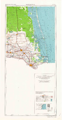 1962 Brownsville1962 Print · USGSThe Lower Rio Grande Valley in the early sixties was a landscape of coastal wildlands, booming oil fields, and international border commerce. Trace the development of this frontier region through landmarks like Harlingen Air Force Base, Boca Chica Island, and the Willamar Oil Field.
 - 1985 Map of Port Mansfield
 1985 Port Mansfield1985 Print · USGSCoastal Texas in the mid-eighties reveals a landscape defined by the Laguna Madre and the remote rail stops of the Missouri Pacific. Genealogists and historians can trace the transit corridor through Norias and Rudolph or explore the early development of Port Mansfield and San Perlita.2 unique versions available
 - 2010 Map of Yturria, 2010 Print
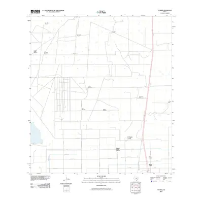 2010 Yturria2010 Print · USGSCoastal South Texas ranching country meets modern residential growth in the early twenty-first century. Genealogists and local historians can trace the development of Benitez Colonia, the layout of Thomas Ranch, and the locations of numerous landmarks like Toro Melon Windmill.
 - 2013 Map of Yturria, 2013 Print
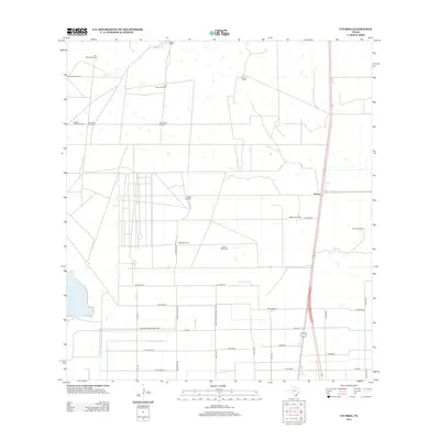 2013 Yturria2013 Print · USGSWillacy County ranching and water infrastructure are captured here in the early twenty-first century. Genealogists and historians can trace family landholdings at Thomas Ranch, García Ranch, and several historic water sites like the Saltine Windmill.
 - 2016 Map of Yturria, 2016 Print
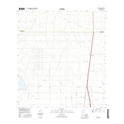 2016 Yturria2016 Print · USGSWillacy County ranchlands and the settlement of Yturria are captured here during the mid-2010s. Researchers can trace local lineage through family-named landmarks like Garcia Ranch Rd and Simon Gomez Rd, or locate the historic Cemetery Rd.
 - 2019 Map of Yturria, 2019 Print
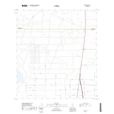 2019 Yturria2019 Print · USGSWillacy County ranching and transit patterns are visible in this contemporary South Texas survey. Researchers can trace land divisions and local history along Thomas Ranch Rd and near the Yturria settlement and Cemetery Rd.
 - 2022 Map of Yturria, 2022 Print
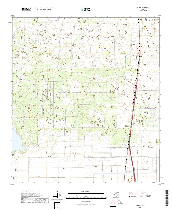 2022 Yturria2022 Print · USGSThe Texas coastal plain near the Willacy and Kenedy county line is documented here in a period of modern ranching and agricultural development. Genealogists and local historians can trace legacy landholdings and family-named routes like Garcia Ranch Rd, Thomas Ranch Rd, and Simon Gomez Rd.
End of results
Showing maps 1-13 of 13
Top cities near El Chapote Colonia
- Raymondville historical maps
- Elsa historical maps
- Lyford historical maps
- Sebastian historical maps
- La Villa historical maps
- Lasara historical maps
See more
Frequently asked questions
- What are the different types of historical maps available for El Chapote Colonia?
- What is the oldest map of El Chapote Colonia?
- Where can I purchase historical maps of El Chapote Colonia for my home or office?
- Where can I download high-res historical maps of El Chapote Colonia?
- Are there historical topographic maps available for El Chapote Colonia?
- Is there historical aerial imagery available for El Chapote Colonia?
- Where are historical maps of El Chapote Colonia sourced from?