
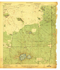
1922 Map of La Sal Vieja
USGS Topo · Published 1922About this map
La Sal Vieja, a salt lake complex, anchors this South Texas landscape where the boundaries of Kenedy, Willacy, and Hidalgo counties converge. Surveyed in cooperation with The University of Texas and the War Department, the map illustrates a ranching economy defined by scattered homesteads and family outposts. Numerous named properties like San Jose de los Llanitos Ranch and Jesus Maria Ranch are connected by a web of trails across the sandy terrain, reflecting the expansive landholdings of the early twentieth century.
Find a feature on this map
18 named features on this map. Tap any name to fly to it.
Don’t see what you’re looking for? This feature index may not catch every label — zoom into the map to look around manually.
Map Details
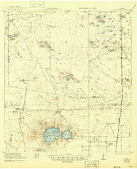
Editions of this 1922 La Sal Vieja Map
3 editions found
Other maps of this area

1921 · Tarida Ranch
USGS Topo · 1:62,500

1923 · Armstrong
USGS Topo · 1:62,500

1923 · Saltillo Ranch
USGS Topo · 1:62,500

1939 · Linn
USGS Topo · 1:62,500

1949 · Mc Allen
USGS Topo · 1:250,000

1953 · Brownsville
USGS Topo · 1:250,000

1954 · McAllen
USGS Topo · 1:250,000

1956 · Julian
USGS Topo · 1:24,000

1956 · Saltillo Well
USGS Topo · 1:24,000

1956 · Rudolph
USGS Topo · 1:24,000