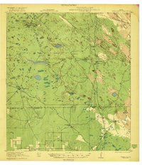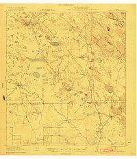
1921 Map of Tarida Ranch
USGS Topo · Published 1921This historical map portrays the area of Tarida Ranch in 1921, primarily covering Kenedy County as well as portions of Willacy County. Featuring a scale of 1:62500, this map provides a highly detailed snapshot of the terrain, roads, buildings, counties, and historical landmarks in the Tarida Ranch region at the time. Published in 1921, it is one of 2 known editions of this map due to revisions or reprints.
Map Details
Editions of this 1921 Tarida Ranch Map
2 editions found
Historical Maps of Kenedy County Through Time
39 maps found

1921 Tarida Ranch
Kenedy County, TX
1922 La Sal Vieja
Kenedy County, TX
1923 Armstrong
Kenedy County, TX
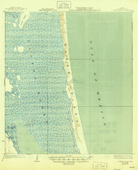
1923 Lopena Island
Kenedy County, TX
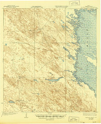
1923 Saltillo Ranch
Kenedy County, TX
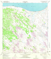
1951 La Parra Ranch NE
Kenedy County, TX
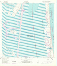
1951 Potrero Lopeno NW
Kenedy County, TX
1951 South of Potrero Lopeno NE
Kenedy County, TX
1952 La Parra Ranch
Kenedy County, TX
1952 La Parra Ranch SE
Kenedy County, TX
1952 Potrero Cortado
Kenedy County, TX
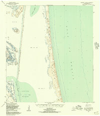
1952 Potrero Lopeno
Kenedy County, TX
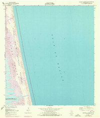
1952 Potrero Lopeno SE
Kenedy County, TX
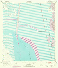
1952 Potrero Lopeno SW
Kenedy County, TX
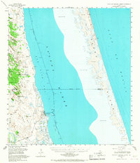
1952 South of Potrero Lopeno
Kenedy County, TX
1952 South of Potrero Lopeno NW
Kenedy County, TX
1952 Yarborough Pass
Kenedy County, TX
1954 La Parra Ranch SW
Kenedy County, TX
1955 La Parra Ranch
Kenedy County, TX
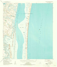
1955 Potrero Cortado
Kenedy County, TX
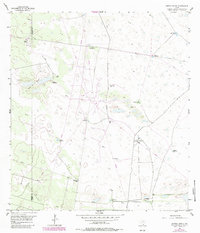
1956 Andrea Ranch
Kenedy County, TX
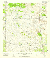
1956 Armstrong
Kenedy County, TX
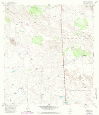
1956 Armstrong
Kenedy County, TX
1956 Julian
Kenedy County, TX
1956 La Sal Vieja
Kenedy County, TX
1956 Los Amigos Windmill
Kenedy County, TX
1956 Maria Estella Well
Kenedy County, TX
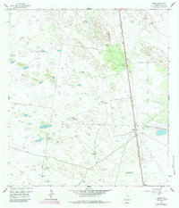
1956 Norias
Kenedy County, TX
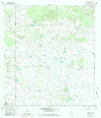
1956 Pita Camp
Kenedy County, TX
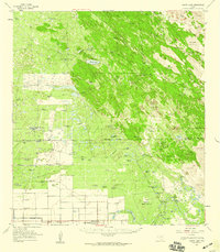
1956 Rosita Lake
Kenedy County, TX
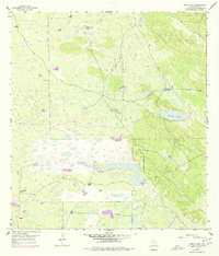
1956 Rosita Lake
Kenedy County, TX
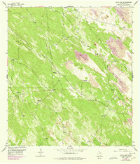
1956 Rosita Lake NE
Kenedy County, TX
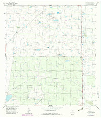
1956 Rudolph
Kenedy County, TX
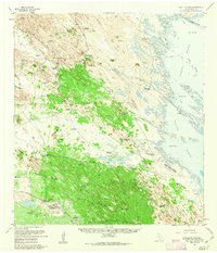
1956 Saltillo Ranch
Kenedy County, TX
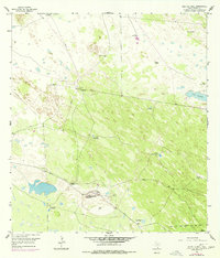
1956 Saltillo Well
Kenedy County, TX
1956 San Pedro Ranch
Kenedy County, TX
1979 La Paloma Ranch
Kenedy County, TX
1979 Sarita SW
Kenedy County, TX
1984 Baffin Bay
Kenedy County, TX
