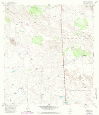
1956 Map of Armstrong
USGS Topo · Published 1984About this map
The Armstrong Ranch Headquarters and the small siding of Armstrong serve as the primary human centers in this coastal prairie landscape of Kenedy County. The area's dependence on groundwater is evident through a dense network of named water sources, including the Juan Perez Artesian Well, Lucita Artesian Well, and Santiago Artesian Well. These wells and numerous windmills like the Mustania Windmill sustain the cattle ranching operations that define this region's economy and settlement pattern.
Find a feature on this map
30 named features on this map. Tap any name to fly to it.
Don’t see what you’re looking for? This feature index may not catch every label — zoom into the map to look around manually.
Map Details
Editions of this 1956 Armstrong Map
2 editions found
Other maps of this area

1923 · Armstrong
USGS Topo · 1:62,500

1923 · Saltillo Ranch
USGS Topo · 1:62,500

1928 · Sarita
USGS Topo · 1:125,000

1950 · Corpus Christi
USGS Topo · 1:250,000

1953 · Brownsville
USGS Topo · 1:250,000

1954 · La Parra Ranch SW
USGS Topo · 1:24,000

1954 · Sarita
USGS Topo · 1:62,500
1955 · La Parra Ranch
USGS Topo · 1:62,500

1956 · Corpus Christi
USGS Topo · 1:250,000

1956 · Pita Camp
USGS Topo · 1:24,000