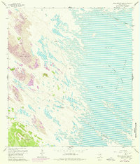
1956 Map of Maria Estella Well
USGS Topo · Published 1978About this map
Old Tajos Ranch sits at the heart of this coastal Kenedy County landscape, where the Texas mainland meets the expansive waters of Laguna Madre. The terrain is defined by shifting sands and the critical importance of groundwater, evidenced by a network of scattered water sources including Magueyal Artesian Well, Bailadora Artesian Well, and Maria Estella Artesian Well. These wells supported ranching life in an environment dominated by Shifting Sand Dunes and tidal flats.
Find a feature on this map
16 named features on this map. Tap any name to fly to it.
Don’t see what you’re looking for? This feature index may not catch every label — zoom into the map to look around manually.
Map Details
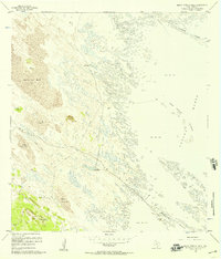
Editions of this 1956 Maria Estella Well Map
2 editions found
Other maps of this area

1923 · Lopena Island
USGS Topo · 1:62,500

1923 · Saltillo Ranch
USGS Topo · 1:62,500

1928 · Sarita
USGS Topo · 1:125,000

1950 · Corpus Christi
USGS Topo · 1:250,000

1951 · Potrero Lopeno NW
USGS Topo · 1:24,000

1952 · Potrero Cortado
USGS Topo · 1:24,000

1952 · Sarita 4 SE
USGS Topo · 1:24,000

1952 · Potrero Lopeno SW
USGS Topo · 1:24,000

1952 · Potrero Lopeno
USGS Topo · 1:62,500

1953 · Brownsville
USGS Topo · 1:250,000