
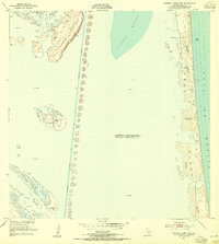
1951 Map of Potrero Lopeno NW
USGS Topo · Published 1953About this map
Potrero Lopeno and the narrow barrier of Padre Island define this coastal landscape along the South Texas shore in the early 1950s. The survey illustrates the critical maritime infrastructure of the era, specifically the Intracoastal Waterway protected by a continuous line of Spoil Banks. These man-made features segment the Laguna Madre from the more open waters near Banderia Pt.
Find a feature on this map
17 named features on this map. Tap any name to fly to it.
Don’t see what you’re looking for? This feature index may not catch every label — zoom into the map to look around manually.
Map Details
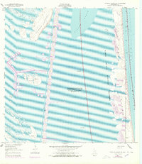
Editions of this 1951 Potrero Lopeno NW Map
3 editions found
Other maps of this area

1923 · Lopena Island
USGS Topo · 1:62,500

1923 · Saltillo Ranch
USGS Topo · 1:62,500

1928 · Sarita
USGS Topo · 1:125,000

1950 · Corpus Christi
USGS Topo · 1:250,000

1952 · Potrero Lopeno SE
USGS Topo · 1:24,000

1952 · Potrero Cortado
USGS Topo · 1:24,000

1952 · Sarita 4 SE
USGS Topo · 1:24,000

1952 · Potrero Lopeno SW
USGS Topo · 1:24,000

1952 · Potrero Lopeno
USGS Topo · 1:62,500

1953 · Brownsville
USGS Topo · 1:250,000