
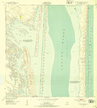
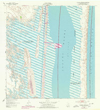
1952 Map of Potrero Cortado
USGS Topo · Published 1953About this map
Padre Island stands as a slender barrier against the Gulf of Mexico, separated from the mainland by the shallow expanse of Laguna Madre. This coastal landscape is defined by its shifting sand dunes and mudflats, particularly around the complex of islands known as potreros. Isolated features like the Lopeño Artesian Well and Medanito Well suggest the vital importance of fresh water in this hypersaline environment during the early 1950s.
Find a feature on this map
18 named features on this map. Tap any name to fly to it.
Don’t see what you’re looking for? This feature index may not catch every label — zoom into the map to look around manually.
Map Details
Editions of this 1952 Potrero Cortado Map
3 editions found
Other maps of this area

1923 · Lopena Island
USGS Topo · 1:62,500

1923 · Saltillo Ranch
USGS Topo · 1:62,500

1928 · Sarita
USGS Topo · 1:125,000

1950 · Corpus Christi
USGS Topo · 1:250,000

1951 · Potrero Lopeno NW
USGS Topo · 1:24,000

1951 · Sarita 4 NE
USGS Topo · 1:24,000

1952 · Yarborough Pass
USGS Topo · 1:24,000

1952 · Sarita 4 SE
USGS Topo · 1:24,000

1952 · Potrero Lopeno
USGS Topo · 1:62,500

1953 · Brownsville
USGS Topo · 1:250,000