
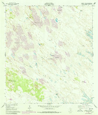
1952 Map of Sarita 4 SE
USGS Topo · Published 1953About this map
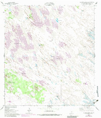
Shifting sand dunes dominate this 1952 landscape in Kenedy County, illustrating the dynamic environmental conditions of the Texas coastal plains. Life in this arid region centered on critical water sources and ranching infrastructure, as evidenced by the dense network of artesian wells and windmills. Named outposts like Los Indios Ranch and the Santa Elena Trap appear alongside numerous family-named and descriptive water points such as the Sarita Artesian Well, Ramirez Artesian Well, and Aguajon Well. Extensive fencing networks crisscross the dunes, connecting landmarks like the Chaparral Windmill and Noria de la Compania Well, revealing the scale of cattle operations in a territory where water dictated survival and settlement patterns.
Find a feature on this map
26 named features on this map. Tap any name to fly to it.
Don’t see what you’re looking for? This feature index may not catch every label — zoom into the map to look around manually.
Map Details
Editions of this 1952 Sarita 4 SE Map
3 editions found
Other maps of this area

1923 · Lopena Island
USGS Topo · 1:62,500

1923 · Saltillo Ranch
USGS Topo · 1:62,500

1928 · Sarita
USGS Topo · 1:125,000

1950 · Corpus Christi
USGS Topo · 1:250,000

1951 · Potrero Lopeno NW
USGS Topo · 1:24,000

1951 · Sarita 4 NE
USGS Topo · 1:24,000

1952 · Potrero Cortado
USGS Topo · 1:24,000

1952 · La Parra Ranch
USGS Topo · 1:24,000

1952 · Yarborough Pass
USGS Topo · 1:24,000

1952 · Potrero Lopeno
USGS Topo · 1:62,500