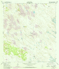
1952 Map of Sarita 4 SE
USGS Topo · Published 1978About this map
Los Indios Ranch serves as the primary human landmark in this remote coastal plain environment, where life and livestock were historically sustained by a network of scattered wells and windmills. The landscape is defined by Shifting Sand Dunes, some of which were identified as stabilized by the mid-20th century while others remained active. The reliance on artesian water is evident through numerous named features such as Sarita Artesian Well and El Reparo Artesian Well.
Find a feature on this map
21 named features on this map. Tap any name to fly to it.
Don’t see what you’re looking for? This feature index may not catch every label — zoom into the map to look around manually.
Map Details
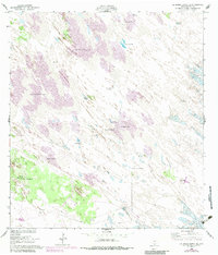
Editions of this 1952 Sarita 4 SE Map
3 editions found
Other maps of this area

1923 · Lopena Island
USGS Topo · 1:62,500

1923 · Saltillo Ranch
USGS Topo · 1:62,500

1928 · Sarita
USGS Topo · 1:125,000

1950 · Corpus Christi
USGS Topo · 1:250,000

1951 · Potrero Lopeno NW
USGS Topo · 1:24,000

1951 · Sarita 4 NE
USGS Topo · 1:24,000

1952 · Potrero Cortado
USGS Topo · 1:24,000

1952 · La Parra Ranch
USGS Topo · 1:24,000

1952 · Yarborough Pass
USGS Topo · 1:24,000

1952 · Sarita 4 SE
USGS Topo · 1:24,000