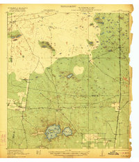
1922 Map of La Sal Vieja
USGS Topo · Published 1922About this map
Large saltwater lakes known as La Sal Vieja dominate the lower half of this landscape in the South Texas brush country. Surveyed shortly after the end of World War I, the map illustrates an era of sprawling livestock operations and early rail development across the sandy plains. The St Louis Brownsville and Mexico railroad cuts a north-south line through the eastern territory, supporting small settlements and shipping points like Yturria and Rudolph.
Find a feature on this map
19 named features on this map. Tap any name to fly to it.
Don’t see what you’re looking for? This feature index may not catch every label — zoom into the map to look around manually.
Map Details
Editions of this 1922 La Sal Vieja Map
3 editions found
Other maps of this area

1921 · Tarida Ranch
USGS Topo · 1:62,500

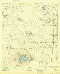
1922 · La Sal Vieja
USGS Topo · 1:62,500

1923 · Armstrong
USGS Topo · 1:62,500

1923 · Saltillo Ranch
USGS Topo · 1:62,500

1939 · Linn
USGS Topo · 1:62,500

1949 · Mc Allen
USGS Topo · 1:250,000

1953 · Brownsville
USGS Topo · 1:250,000

1954 · McAllen
USGS Topo · 1:250,000

1956 · Julian
USGS Topo · 1:24,000

1956 · Saltillo Well
USGS Topo · 1:24,000