2000s (21st Century) Maps of Cedar Park, Texas
Explore 20 historic maps of Cedar Park from the 2000s (21st Century). These maps offer a rare glimpse into what life looked like during the 2000s — showing old roads, neighborhoods, homes, and landmarks that have changed or disappeared over time.
Whether you're researching your family's past, planning a metal detecting trip, or studying how Cedar Park's landscape evolved across the 2000s, these high-resolution maps are a powerful tool for exploring the history of this region.
- Focus on a specific era: All maps on this page are from the 2000s, giving you a focused view of this time period.
- See what’s changed: Compare century-old streets, trails, and buildings to today's modern landscape using overlays and satellite layers.
- Research with precision: Use these maps for genealogy, historical research, land use analysis, or educational projects.
- View, download, or print: Maps are fully viewable online in high resolution, and can be downloaded or printed for your own records.
Start exploring Cedar Park's history through authentic maps from the 2000s. This is your window into the past.
Cedar Park, TX maps
(20)- 2010 Map of Nameless, 2010 Print
 2010 Nameless2010 Print · USGSCovers Cedar Park, including Leander, Lago Vista, and other nearby areas
 - 2010 Map of Leander, 2010 Print
 2010 Leander2010 Print · USGSCovers Cedar Park, including Austin, Round Rock, and other nearby areas
 - 2010 Map of Jollyville, 2010 Print
 2010 Jollyville2010 Print · USGSCovers Cedar Park, including Austin, Travis County, and other nearby areas
 - 2010 Map of Round Rock, 2010 Print
 2010 Round Rock2010 Print · USGSCovers Cedar Park, including Austin, Round Rock, and other nearby areas
 - 2013 Map of Jollyville, 2013 Print
 2013 Jollyville2013 Print · USGSCovers Cedar Park, including Austin, Travis County, and other nearby areas
 - 2013 Map of Leander, 2013 Print
 2013 Leander2013 Print · USGSCovers Cedar Park, including Austin, Round Rock, and other nearby areas
 - 2013 Map of Round Rock, 2013 Print
 2013 Round Rock2013 Print · USGSCovers Cedar Park, including Austin, Round Rock, and other nearby areas
 - 2013 Map of Nameless, 2013 Print
 2013 Nameless2013 Print · USGSCovers Cedar Park, including Leander, Lago Vista, and other nearby areas
 - 2016 Map of Nameless, 2016 Print
 2016 Nameless2016 Print · USGSCovers Cedar Park, including Leander, Lago Vista, and other nearby areas
 - 2016 Map of Jollyville, 2016 Print
 2016 Jollyville2016 Print · USGSCovers Cedar Park, including Austin, Travis County, and other nearby areas
 - 2016 Map of Round Rock, 2016 Print
 2016 Round Rock2016 Print · USGSCovers Cedar Park, including Austin, Round Rock, and other nearby areas
 - 2016 Map of Leander, 2016 Print
 2016 Leander2016 Print · USGSCovers Cedar Park, including Austin, Round Rock, and other nearby areas
 - 2019 Map of Leander, 2019 Print
 2019 Leander2019 Print · USGSCovers Cedar Park, including Austin, Round Rock, and other nearby areas
 - 2019 Map of Round Rock, 2019 Print
 2019 Round Rock2019 Print · USGSCovers Cedar Park, including Austin, Round Rock, and other nearby areas
 - 2019 Map of Nameless, 2019 Print
 2019 Nameless2019 Print · USGSCovers Cedar Park, including Leander, Lago Vista, and other nearby areas
 - 2019 Map of Jollyville, 2019 Print
 2019 Jollyville2019 Print · USGSCovers Cedar Park, including Austin, Travis County, and other nearby areas
 - 2022 Map of Leander, 2022 Print
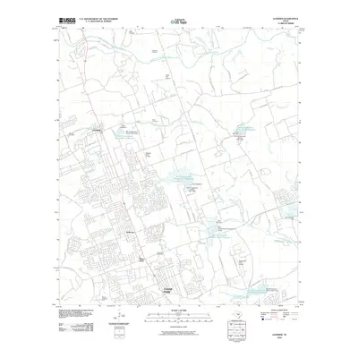
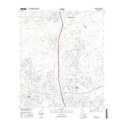
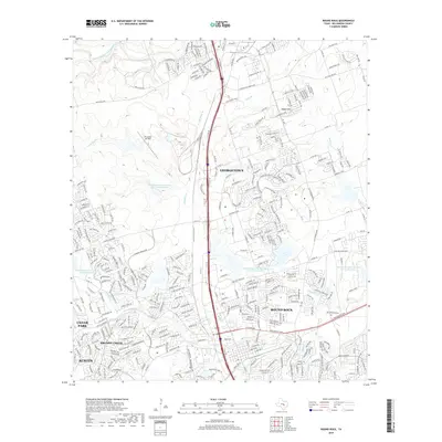
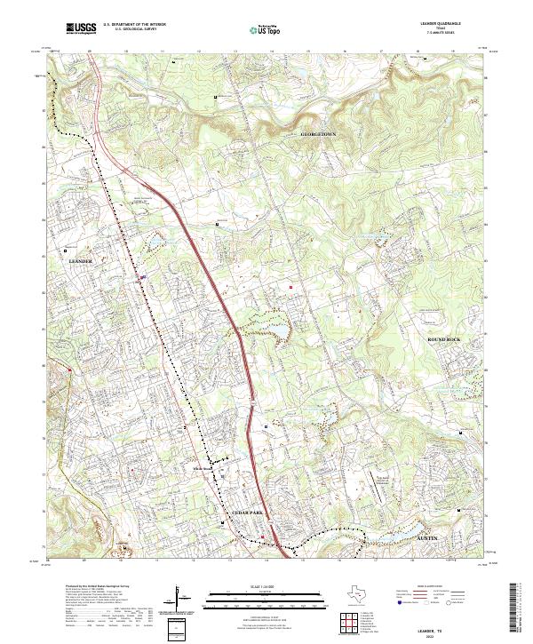 2022 Leander2022 Print · USGSThe rapid growth of the Austin metropolitan corridor in Williamson County is documented here during the early twenty-first century. Genealogists and local historians can locate numerous family burial sites like Wells Cem, Upchurch Cem, and Bagdad Cem.
 - 2022 Map of Jollyville, 2022 Print
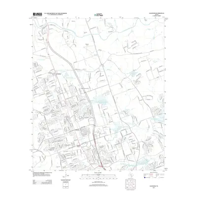
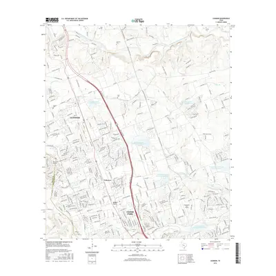
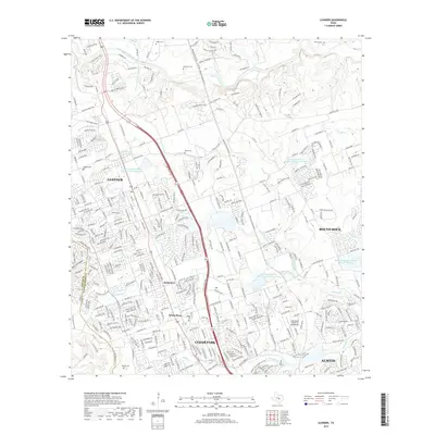
 2022 Jollyville2022 Print · USGSGreater Austin and Cedar Park appear in detail as they cross the county line during a period of rapid suburban growth. Researchers can locate several historic burial sites like Hill Top Baptist Cem and Rhodes Cem alongside the natural landmarks of the Jollyville Plateau.
 - 2023 Map of Round Rock, 2023 Print
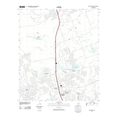
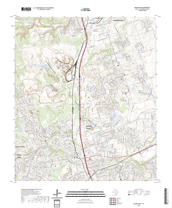 2023 Round Rock2023 Print · USGSThe northern suburbs of Austin are captured in this contemporary view of the Round Rock and Georgetown corridor. Researchers can trace local heritage at Union Hill Cem, Slave Cem, and the prominent Palm Valley Cem.
 - 2023 Map of Nameless, 2023 Print
 2023 Nameless2023 Print · USGSThe Travis County hill country comes to life in this modern survey of the suburban frontier and protected canyonlands. Genealogists can trace family heritage at Nameless Cem or Avery Briggs Cem while exploring the creek-fed hollows and Round Mtn.
End of results
Showing maps 1-20 of 20
Top cities near Cedar Park
- Austin historical maps
- Round Rock historical maps
- Georgetown historical maps
- Pflugerville historical maps
- Leander historical maps
- Lakeway historical maps
See more
Frequently asked questions
- What are the different types of historical maps available for Cedar Park?
- What is the oldest map of Cedar Park?
- Where can I purchase historical maps of Cedar Park for my home or office?
- Where can I download high-res historical maps of Cedar Park?
- Are there historical topographic maps available for Cedar Park?
- Is there historical aerial imagery available for Cedar Park?
- Where are historical maps of Cedar Park sourced from?