Old Maps of Round Rock, Texas for Genealogy
Trace your family roots with 47 historic maps of Round Rock. These high-res maps reveal old neighborhoods, homesites, landmarks, and streets — helping you uncover where your ancestors lived and how the area evolved over time.
- Explore historic neighborhoods: Identify where your relatives may have lived in the 1800s or 1900s.
- Compare maps over time: Trace the changes in streets, buildings, and landmarks for multi-generational research.
- Perfect for genealogy & ancestry research: Used by family historians and researchers to map out lineage and migration.
These maps are an incredible resource for exploring your personal connection to Round Rock's past.
Round Rock, TX maps
(47)- 1893 Map of Georgetown
 1893 Georgetown1893 Print · USGSCentral Texas in the late 1800s was a landscape in flux as rail lines reshaped old frontier settlements. Genealogists can trace the shift from riverside villages like Bagdad and Old Round Rock to new rail hubs such as Leander and Hutto.5 unique versions available
 - 1896 Map of Austin
 1896 Austin1896 Print · USGSAustin and its surrounding counties are shown in the mid-1890s, capturing the transition from frontier river crossings to a rail-centered regional hub. Researchers can trace historic river access points like Cameron Ferry alongside vanished landmarks such as Johnson's Institute and Moore & Berry's Store.
 - 1897 Map of Austin
 1897 Austin1897 Print · USGSTexas in the late 1890s reveals a capital city defined by its river and an expanding railroad network. Genealogists and historians can trace family-named landmarks and early centers of learning like Saint Edward's College, Johnson's Institute, and Anderson Mill.
 - 1910 Map of Austin
 1910 Austin1910 Print · USGSAustin and the surrounding Travis County hill country are captured here at the start of the twentieth century. Genealogists and researchers can locate pioneer landmarks like Anderson Mill, Mc.Kinney Falls, and numerous river crossings including Lohmann Ford.3 unique versions available
 - 1925 Map of Georgetown 4-d
 1925 Georgetown 4-d1925 Print · USGSWilliamson County in the mid-1920s shows a landscape of developing prairie towns and rural cotton gins. Genealogists can trace early homesteads and landmarks like Stony Point School, Bell Gin, and the historic Hutto townsite.
 - 1928 Map of Round Rock
 1928 Round Rock1928 Print · USGSWilliamson County in the mid-twenties shows a landscape of developing rail hubs and scattered rural school districts. Genealogists can locate family landmarks like Bell Gin, Old Round Rock, and the Strickland Grove Church.2 unique versions available
 - 1949 Map of Round Rock, 1967 Print
 1949 Round Rock1967 Print · USGSCentral Texas in the late 1940s reveals a landscape defined by cotton ginning and the heavy influence of competing rail lines. Genealogists can locate family landmarks like Palm Valley Ch, the Bell Gin, and rural schools such as Palacky Sch or Bell Sch.2 unique versions available
 - 1951 Map of Round Rock
 1951 Round Rock1951 Print · USGSWilliamson County at mid-century reveals a landscape of thriving rural communities and intersecting rail lines before the era of modern suburban expansion. Local researchers can pinpoint family landmarks like Palm Valley Ch, trace the old settlement at Old Round Rock, or locate the Bell Gin.
 - 1954 Map of Austin, 1964 Print
 1954 Austin1964 Print · USGSCentral Texas is captured during a period of steady growth as the capital city and its neighboring farm towns began to modernize. Researchers can trace historic rail corridors like the Southern Pacific RR or locate landmarks such as Bergstrom Air Force Base and Pilot Knob.4 unique versions available
 - 1955 Map of Austin, 1956 Print
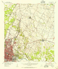 1955 Austin1956 Print · USGSAustin and its northern Travis County neighbors appear here in the mid-1950s, just as suburban growth began to reach toward the Williamson County line. Researchers can trace historic family locations and vanished institutions like the Travis County Tuberculosis Sanitarium, McNeil, and New Sweden.
 - 1962 Map of Leander, 1966 Print
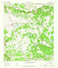 1962 Leander1966 Print · USGSCentral Texas settlements and Hill Country ranch land thrive along the rail line during the early sixties. Genealogists can trace family names at Bagdad Cem and White Stone, or locate the Independent Sch near the Southern Pacific tracks.4 unique versions available
 - 1968 Map of Pflugerville East, 1971 Print
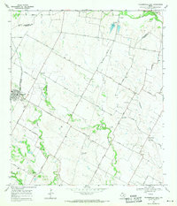 1968 Pflugerville East1971 Print · USGSThe rural countryside east of Pflugerville in the late sixties reveals a landscape of family farms and Swedish-German heritage. Trace early roads and burial sites like New Sweden, Germania Hall, and Pfluger Cem.3 unique versions available
 - 1968 Map of Pflugerville West, 1971 Print
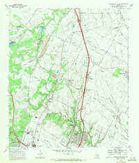 1968 Pflugerville West1971 Print · USGSThe rail-and-road corridor north of Austin is captured here in the late sixties, showing the early industrial and suburban growth of Travis and Williamson counties. Genealogists and local historians can trace family sites like Bratton Cem and vanished waypoints such as Merrelltown and Coxville.2 unique versions available
 - 1982 Map of Hutto
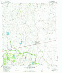 1982 Hutto1982 Print · USGSHutto was a developing rail-and-creek town in the early 1980s, anchored by the Missouri Pacific line and the fertile banks of Brushy Creek. Genealogists can trace family footprints across Old Shiloh Cem, Saul Cem, and Smith Chapel.
 - 1982 Map of Round Rock
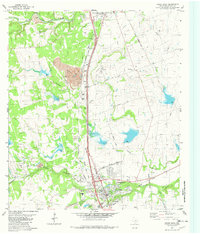 1982 Round Rock1982 Print · USGSRound Rock and southern Georgetown are shown in the early 1980s, revealing a landscape of limestone quarries and emerging suburbs. Trace local history through the Old Swedish Cem, Palm Valley Ch, and the iconic Inner Space Cavern.
 - 1985 Map of Austin
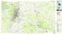 1985 Austin1985 Print · USGSCentral Texas in the mid-eighties reveals a region in transition, balancing rapid urban growth in Austin with deep-rooted rural landscapes. Genealogists and historians can trace family locations near St Johns Ch, the Science Hall schoolhouse, and long-standing communities like Webberville and Manchaca.3 unique versions available
 - 1985 Map of Taylor, 1986 Print
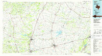 1985 Taylor1986 Print · USGSWilliamson and Bell counties in the mid-eighties reveal a landscape where the cattle and cotton economy met burgeoning rail infrastructure. Genealogists and historians can trace the paths of the Missouri Pacific railroad through unique hamlets like Ding Dong, Frame Switch, and Beyersville.2 unique versions available
 - 1987 Map of Hutto
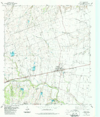 1987 Hutto1987 Print · USGSHutto and the surrounding Williamson County ranch lands are captured here in the late eighties as the area maintained its rural character. Genealogists can trace family names through landmarks like Hutto City Cem, Saul Cem, and Smith Chapel.
 - 1987 Map of Leander
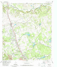 1987 Leander1987 Print · USGSGrowing along the railroad in the late eighties, this area shows the transition from rural Williamson County to suburban expansion. Genealogists can trace family roots at Bagdad Cem and Upchurch Cem, while historians can locate old stops like White Stone and Walkerton.2 unique versions available
 - 1987 Map of Pflugerville West
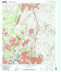 1987 Pflugerville West1987 Print · USGSThe northern fringes of Austin and the approach to Round Rock are captured in the late eighties as suburban development began to fill the gap between rail hubs. Researchers can trace historic family burial sites like Bratton Cem and locate the University of Texas Balcones Research Center in its earlier configuration.2 unique versions available
 - 1987 Map of Round Rock
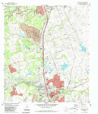 1987 Round Rock1987 Print · USGSThe northern suburbs of Austin were transforming in the late eighties as residential growth met industrial limestone production. Genealogists and local historians can locate the Old Swedish Cemetery, the historic Chisholm Trail, and the path of the Georgetown Railroad.2 unique versions available
 - 1987 Map of Pflugerville East, 1988 Print
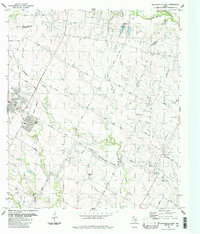 1987 Pflugerville East1988 Print · USGSThe rural stretches between Pflugerville and New Sweden are shown here just as the Austin suburbs began to expand in the late eighties. Researchers can locate family landmarks like Pfluger Cem, trace the Missouri Pacific line, and find small communities like Cele.
 - 2010 Map of Leander, 2010 Print
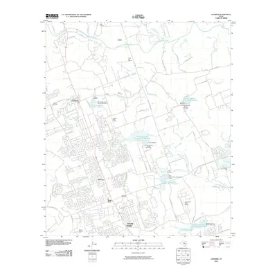 2010 Leander2010 Print · USGSTexas hill country suburbanization is in full swing here at the start of the century. Genealogists and local historians can trace family plots at Bagdad Cemetery or Bonnet Cemetery while exploring the evolving landscapes of Leander and Cedar Park.
 - 2010 Map of Hutto, 2010 Print
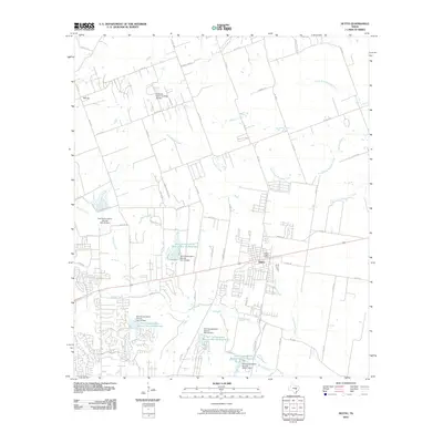 2010 Hutto2010 Print · USGSHutto and the surrounding Williamson County blackland prairie are captured here during a period of modern expansion. Researchers can trace the rural roots of the area through landmarks like Bell Gin and the extensive water management system including Soil Conservation Service Site 18 Reservoir.
 - 2010 Map of Round Rock, 2010 Print
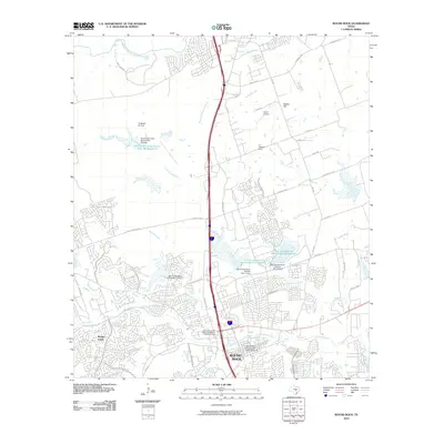 2010 Round Rock2010 Print · USGSRound Rock and its surrounding landscape are captured here during a phase of rapid suburban growth in the early twenty-first century. Genealogists and local historians can locate the Round Rock Post Office and William M Owen House, the J J Johnson Farm, and the Round Rock Commercial Historic District.
Showing maps 1-25 of 47
Top cities near Round Rock
- Austin historical maps
- Georgetown historical maps
- Pflugerville historical maps
- Cedar Park historical maps
- Hutto historical maps
- Leander historical maps
See more
Top neighborhoods of Round Rock
- Lake Forest historical maps
- Rubio historical maps
- South Creek historical maps
- Stoney Brook historical maps
- Chandler Crossing historical maps
- The Oaklands historical maps
See more
Frequently asked questions
- What are the different types of historical maps available for Round Rock?
- What is the oldest map of Round Rock?
- Where can I purchase historical maps of Round Rock for my home or office?
- Where can I download high-res historical maps of Round Rock?
- Are there historical topographic maps available for Round Rock?
- Is there historical aerial imagery available for Round Rock?
- Where are historical maps of Round Rock sourced from?