Old Maps of Denver City, Texas for Hiking & Exploration
Hike through history with 10 historic maps of Denver City. Explore old trails, ghost towns, and forgotten backroads — perfect for outdoor adventurers and local explorers.
- Rediscover forgotten places: Map out old mining camps, roads, and footpaths that no longer exist on modern maps.
- Layer with modern tools: Combine with LiDAR or satellite views to plan hikes through historical terrain.
- Made for exploration: Popular among hikers, overlanders, and local history lovers.
Use these maps to find adventure and explore the hidden past of Denver City.
Denver City, TX maps
(10)- 1954 Map of Hobbs, 1963 Print
 1954 Hobbs1963 Print · USGSThe High Plains and Permian Basin transition is captured here at the height of the mid-century energy boom. Genealogists and industrial historians can trace the foundations of Humble City, locate the Potash Mine and Plant, and follow the Texas-New Mexico RR.2 unique versions available
 - 1958 Map of Hobbs
 1958 Hobbs1958 Print · USGSThe High Plains of the Texas-New Mexico border are shown here during the height of the mid-century oil boom. Genealogists and historians can trace the development of Hobbs, Lovington, and Jal, alongside ranching landmarks like James Ranch and the early Texas-New Mexico Railway.
 - 1971 Map of Denver City, 1973 Print
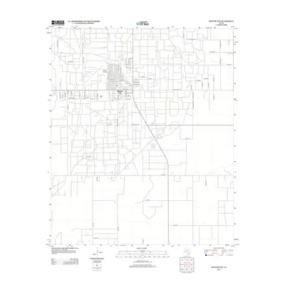
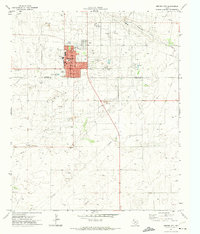 1971 Denver City1973 Print · USGSDenver City and the surrounding oil fields come into sharp focus in the early seventies, showcasing a community built on industry. Genealogists and historians can trace the town's layout and find local landmarks like the Memorial Cem, the Drive-in Theater, and the Rodeo Ground.
 - 1985 Map of Seminole, 1986 Print
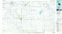 1985 Seminole1986 Print · USGSGaines County and its neighbors are captured in the mid-eighties during a period of sustained energy production and agricultural persistence. Researchers can trace the sprawling oil fields and rail stops along the Atchison Topeka and Santa Fe near Denver City and Mungerville.
 - 1992 Map of Seminole
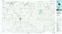 1992 Seminole1992 Print · USGSThe Texas high plains in the early nineties show a landscape of heavy oil production and rural crossroads. Trace old family connections near Seminole, Denver City, or Seagraves, and explore the natural geography of Cedar (Salt) Lake.
 - 2010 Map of Denver City, 2010 Print
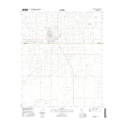
 2010 Denver City2010 Print · USGSCovers Denver City, including Gaines County, Yoakum County, and other nearby areas
 - 2012 Map of Denver City, 2012 Print
 2012 Denver City2012 Print · USGSCovers Denver City, including Gaines County, Yoakum County, and other nearby areas
 - 2016 Map of Denver City, 2016 Print
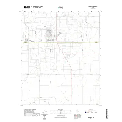
 2016 Denver City2016 Print · USGSCovers Denver City, including Gaines County, Yoakum County, and other nearby areas
 - 2019 Map of Denver City, 2019 Print
 2019 Denver City2019 Print · USGSCovers Denver City, including Gaines County, Yoakum County, and other nearby areas
 - 2022 Map of Denver City, 2022 Print
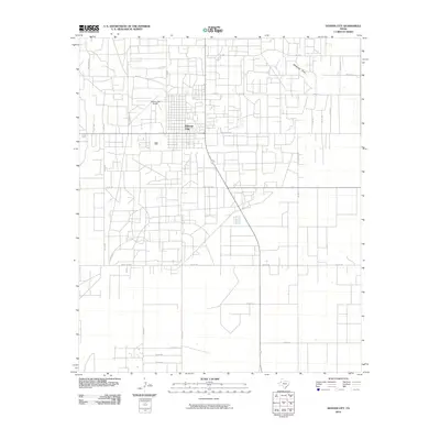
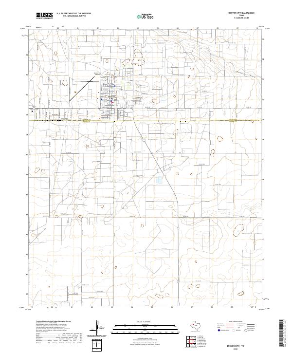 2022 Denver City2022 Print · USGSDenver City sits at the crossroads of Yoakum and Gaines Counties in this recent survey of the West Texas plains. Genealogists and historians can trace the intersection of modern infrastructure and historic cattle routes like Chisholm Trl and Wagon Trl near McKenzie Draw.
End of results
Showing maps 1-10 of 10
Top cities near Denver City
Frequently asked questions
- What are the different types of historical maps available for Denver City?
- What is the oldest map of Denver City?
- Where can I purchase historical maps of Denver City for my home or office?
- Where can I download high-res historical maps of Denver City?
- Are there historical topographic maps available for Denver City?
- Is there historical aerial imagery available for Denver City?
- Where are historical maps of Denver City sourced from?