Old Maps of Olney, Texas for Hiking & Exploration
Hike through history with 21 historic maps of Olney. Explore old trails, ghost towns, and forgotten backroads — perfect for outdoor adventurers and local explorers.
- Rediscover forgotten places: Map out old mining camps, roads, and footpaths that no longer exist on modern maps.
- Layer with modern tools: Combine with LiDAR or satellite views to plan hikes through historical terrain.
- Made for exploration: Popular among hikers, overlanders, and local history lovers.
Use these maps to find adventure and explore the hidden past of Olney.
Olney, TX maps
(21)- 1954 Map of Wichita Falls, 1966 Print
 1954 Wichita Falls1966 Print · USGSNorth Texas in the mid-fifties is captured here as a landscape of expanding oil fields and vital rail corridors. Genealogists and historians can trace family roots through rural landmarks like Bacon Chapel and the rail-side growth of Seymour and Archer City.3 unique versions available
 - 1958 Map of Wichita Falls
 1958 Wichita Falls1958 Print · USGSNorth Texas during the late fifties reveals a landscape defined by the booming petroleum industry and established rail hubs. Researchers can trace the development of Wichita Falls and discover rural landmarks like Barton's Chapel or the Hull-Silk Oil Field.
 - 1964 Map of True, 1967 Print
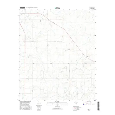
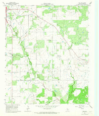 1964 True1967 Print · USGSYoung County's oil-rich landscape is documented here in the early 1960s, showing the intersection of rural life and industrial growth. Researchers can trace family sites at True Cem and Pleasant Valley Ch or locate the town of Olney and its Drive-in Theater.2 unique versions available
 - 1964 Map of Lake Olney, 1967 Print
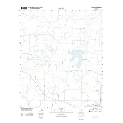
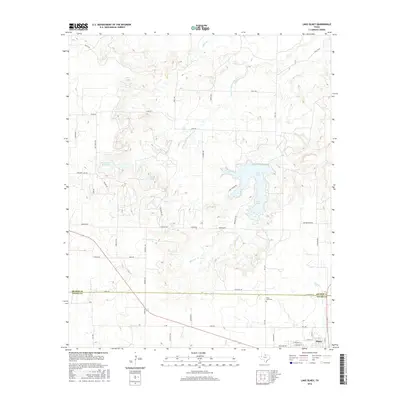
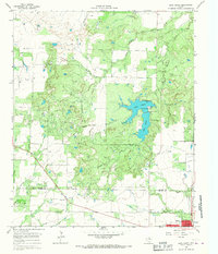 1964 Lake Olney1967 Print · USGSArcher and Young counties in the mid-1960s show a North Texas landscape shaped by oil production and reservoir expansion. Researchers can trace rural genealogy at St Luke Cem or explore the mid-century infrastructure of Lake Olney and the surrounding oil fields.
 - 1964 Map of Olney, 1968 Print
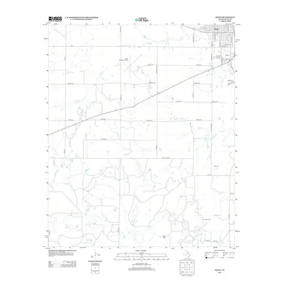
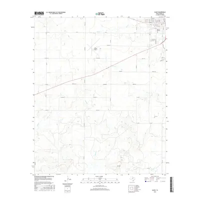
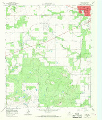 1964 Olney1968 Print · USGSOlney and the surrounding Young County ranchlands are shown in the mid-1960s as the local oil industry flourished. Researchers can trace family roots through the Orth Cemetery or locate old community landmarks like Hamilton Hospital and the Olney Municipal Airport.2 unique versions available
 - 1985 Map of Graham
 1985 Graham1985 Print · USGSNorth Texas in the mid-eighties shows a landscape of growing reservoirs and historic cattle country. Genealogists and historians can trace the foundations of Young County through the Belknap Mountains, Barton Chapel, and the grounds of Fort Richardson State Park.2 unique versions available
 - 2010 Map of True, 2010 Print
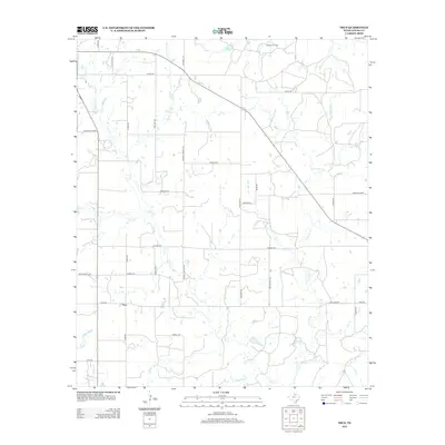
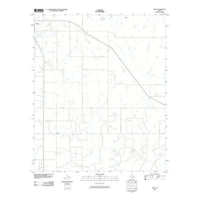 2010 True2010 Print · USGSCovers Olney, including True, Young County, and other nearby areas
 - 2010 Map of Olney, 2010 Print
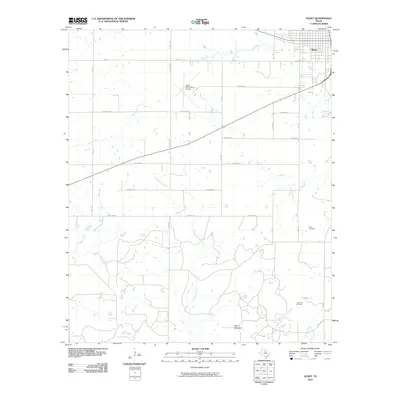 2010 Olney2010 Print · USGSCovers Olney, including Young County, United States, and other nearby areas
 - 2010 Map of Lake Olney, 2010 Print
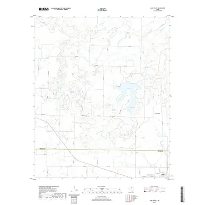
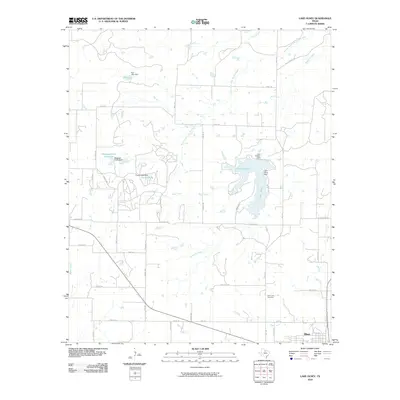 2010 Lake Olney2010 Print · USGSCovers Olney, including Young County, Archer County, and other nearby areas
 - 2012 Map of True, 2012 Print
 2012 True2012 Print · USGSCovers Olney, including True, Young County, and other nearby areas
 - 2012 Map of Olney, 2012 Print
 2012 Olney2012 Print · USGSCovers Olney, including Young County, United States, and other nearby areas
 - 2012 Map of Lake Olney, 2012 Print
 2012 Lake Olney2012 Print · USGSCovers Olney, including Young County, Archer County, and other nearby areas
 - 2016 Map of True, 2016 Print
 2016 True2016 Print · USGSCovers Olney, including True, Young County, and other nearby areas
 - 2016 Map of Olney, 2016 Print
 2016 Olney2016 Print · USGSCovers Olney, including Young County, United States, and other nearby areas
 - 2016 Map of Lake Olney, 2016 Print
 2016 Lake Olney2016 Print · USGSCovers Olney, including Young County, Archer County, and other nearby areas
 - 2019 Map of Lake Olney, 2019 Print
 2019 Lake Olney2019 Print · USGSCovers Olney, including Young County, Archer County, and other nearby areas
 - 2019 Map of True, 2019 Print
 2019 True2019 Print · USGSCovers Olney, including True, Young County, and other nearby areas
 - 2019 Map of Olney, 2019 Print
 2019 Olney2019 Print · USGSCovers Olney, including Young County, United States, and other nearby areas
 - 2022 Map of True, 2022 Print
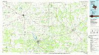
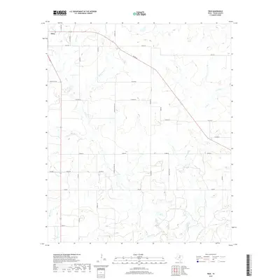
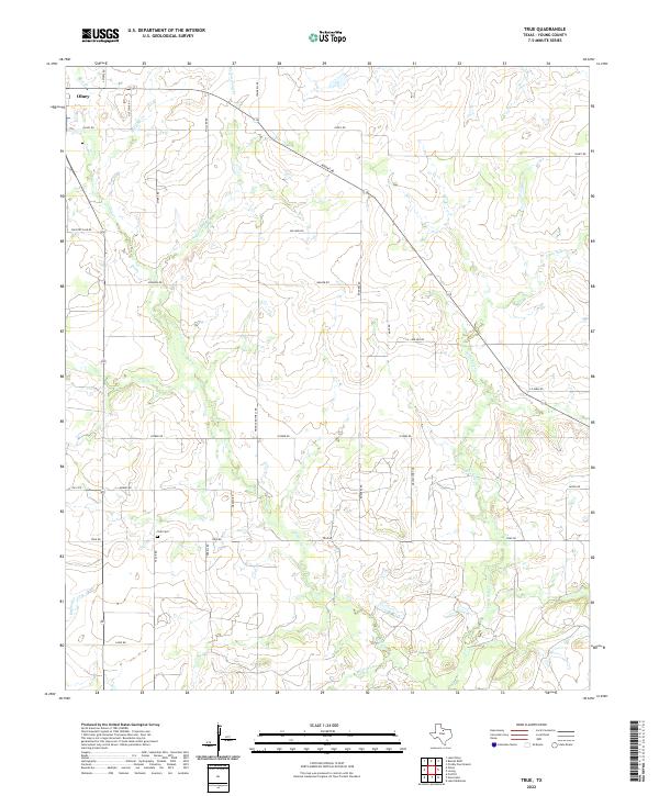 2022 True2022 Print · USGSThe rural plains of Young County unfold in this recent survey, centered on the ranching lands south of the city. Genealogists and local historians can trace the paths of family-named routes like Pringle Rothell Rd and Taack Rd leading to the quiet True Cem.
 - 2022 Map of Olney, 2022 Print
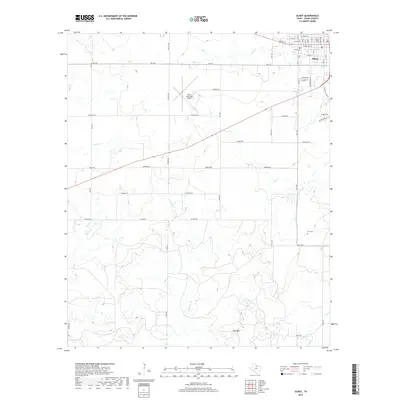
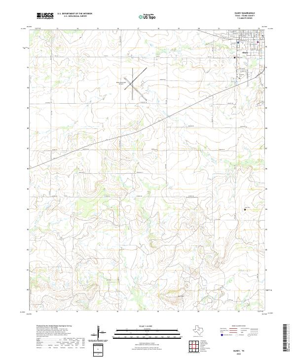 2022 Olney2022 Print · USGSThe community of Olney and the surrounding Young County landscape are captured here in the early 2020s. Genealogists and local historians can trace family sites at Pioneer Cem, Restland Cem, and Orth Cem or follow the winding paths of California Cr and Big Skid Cr.
 - 2022 Map of Lake Olney, 2022 Print
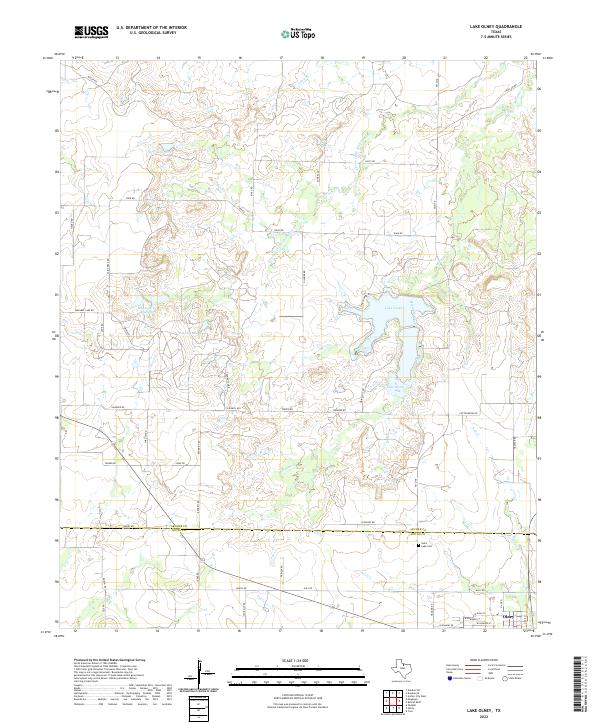 2022 Lake Olney2022 Print · USGSThe borderlands of Archer and Young counties come into focus in the 2020s, showing the modern layout of ranch roads and water resources. Local historians can trace family-named landmarks like Furr Lake or locate the Saint Luke Cem near the town of Olney.
End of results
Showing maps 1-21 of 21
Top cities near Olney
Frequently asked questions
- What are the different types of historical maps available for Olney?
- What is the oldest map of Olney?
- Where can I purchase historical maps of Olney for my home or office?
- Where can I download high-res historical maps of Olney?
- Are there historical topographic maps available for Olney?
- Is there historical aerial imagery available for Olney?
- Where are historical maps of Olney sourced from?