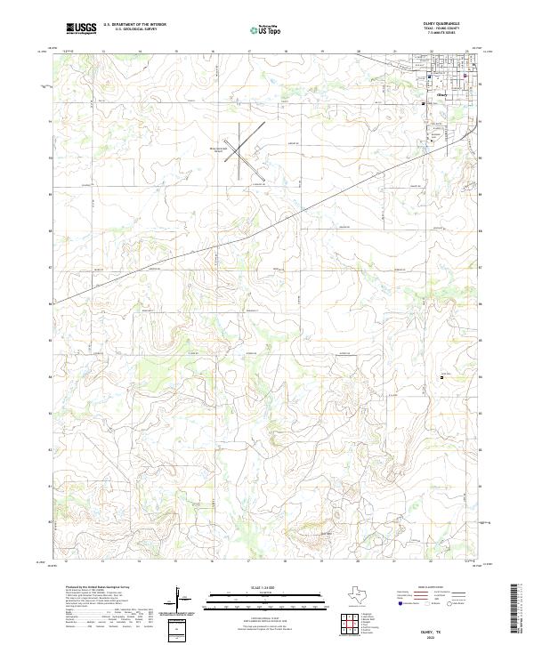
2022 Map of Olney
USGS Topo · Published 2022About this map
Olney occupies the northeastern corner of this North Texas survey, where the grid of residential streets like W Main St and W Hamilton St meets the open ranchland of Young County. This 2022 dataset captures the community's modern layout, from the Olney Municipal Airport to the localized burials at Pioneer Cem and Restland Cem. The landscape to the south and west is defined by a network of seasonal watercourses, including California Cr and Rabbit Cr, which carve through the plains toward the southern rise of Skid Mtn. Further out, the rural character is maintained by farm-to-market roads and the distant Orth Cem, preserving the footprint of earlier settlements and family plots that have anchored this region for generations. The map provides a clear look at the drainage patterns of Big Skid Cr and Mud Cr as they navigate the subtle shifts in elevation characteristic of the area.
Find a feature on this map
60 named features on this map. Tap any name to fly to it.
Don’t see what you’re looking for? This feature index may not catch every label — zoom into the map to look around manually.
Map Details
Editions of this 2022 Olney Map
This is the sole edition of this map. No revisions or reprints were ever made.
Other maps of this area

1927 · Graham
USGS Topo · 1:62,500

1954 · Wichita Falls
USGS Topo · 1:250,000

1958 · Wichita Falls
USGS Topo · 1:250,000

1963 · Megargel
USGS Topo · 1:24,000

1964 · Newcastle
USGS Topo · 1:24,000

1964 · Bobcat Bluff
USGS Topo · 1:24,000

1964 · Padgett
USGS Topo · 1:24,000

1964 · True
USGS Topo · 1:24,000
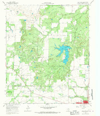
1964 · Lake Olney
USGS Topo · 1:24,000

1964 · Olney
USGS Topo · 1:24,000