
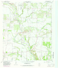
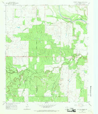
1964 Map of Padgett
USGS Topo · Published 1967About this map
The Brazos River meanders sharply through the heart of the North Texas landscape in this mid-1960s survey, defining the rugged border between Throckmorton and Young Counties. The river's serpentine course is joined by a network of drainage systems including Bitter Creek, Camp Creek, and Leopard Creek, illustrating a classic prairie fluvial system. Human activity in the area is centered on the settlement of Padgett, where the local Padgett Cem provides a focal point for genealogical interest. To the west, the village of Elbert sits near the county line, while the small community of Daniels is located further north. This period of the mid-twentieth century shows the footprint of the local oil industry with several Oil Wells scattered across the plains, alongside extraction sites like Gravel Pits that supported the region's infrastructure and development.
Find a feature on this map
17 named features on this map. Tap any name to fly to it.
Don’t see what you’re looking for? This feature index may not catch every label — zoom into the map to look around manually.
Map Details
Editions of this 1964 Padgett Map
2 editions found
Other maps of this area

1954 · Wichita Falls
USGS Topo · 1:250,000

1958 · Wichita Falls
USGS Topo · 1:250,000

1963 · Megargel
USGS Topo · 1:24,000
1964 · Lake Olney
USGS Topo · 1:24,000

1964 · Olney
USGS Topo · 1:24,000

1965 · Throckmorton NE
USGS Topo · 1:24,000

1966 · Westover SE
USGS Topo · 1:24,000
1966 · Proffitt
USGS Topo · 1:24,000
1966 · Westover
USGS Topo · 1:24,000
1966 · Proffitt Crossing
USGS Topo · 1:24,000