Old Maps of Cook Corner, Utah for Academic Research
Study the evolution of Cook Corner with 10 high-resolution historic maps. Whether you're teaching, researching, or modeling changes in land use, these maps provide essential visual documentation of urban, environmental, and geographic change.
- Analyze long-term change: Track patterns in development, transportation, and natural features.
- Ideal for environmental or urban studies: Support academic projects with primary historical map data.
- Use in the classroom or lab: Educators and researchers rely on these maps to bring historical context to life.
These maps are a powerful tool for teaching, research, and visualizing how Cook Corner has changed over the decades.
Cook Corner, UT maps
(10)- 1953 Map of Milford Flat, 1955 Print
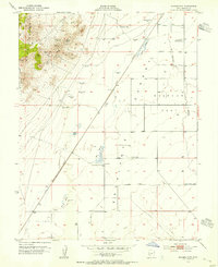 1953 Milford Flat1955 Print · USGSThe eastern Escalante Desert and Milford Flat are captured here in the early fifties during a period of active high-desert mining. Genealogists and historians can locate mining sites like the Maud S Mine and Gold Crown Mine, or trace the Union Pacific rail line past Upton and Laho.2 unique versions available
 - 1953 Map of Richfield, 1963 Print
 1953 Richfield1963 Print · USGSCentral Utah in the early fifties reveals a complex geography of high plateaus and desert basins tied together by the Union Pacific rail lines. Genealogists and historians can trace family roots in Richfield or Kanosh and locate remote operations like the Blue Star Mine or Newhouse.3 unique versions available
 - 1958 Map of Richfield
 1958 Richfield1958 Print · USGSCentral Utah in the late fifties shows a landscape of mountain forests and desert basins connected by the Union Pacific Railroad. Genealogists and historians can trace rail stops at Nada Station, mines like the Blue Star Mine, and tribal lands of the Paiute Indian Reservation.2 unique versions available
 - 1958 Map of Milford, 1960 Print
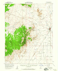 1958 Milford1960 Print · USGSIn the late fifties, this area of Beaver County was a hive of mining activity and railroad transport. Researchers can trace the layout of the Union Pacific through Milford or locate the historical footprints of Shauntie and the Mammoth Mine.
 - 1980 Map of Wah Wah Mts. South, 1984 Print
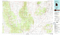 1980 Wah Wah Mts. South1984 Print · USGSWestern Utah’s high desert and mineral-rich ranges are captured here in the late twentieth century, showing a landscape shaped by mining and the railroad. Researchers can locate remote shafts like the Wild Bill Mine, trace the Union Pacific Railroad through Lund, or explore the geography of the Wah Wah Mountains.2 unique versions available
 - 2011 Map of Milford Flat, 2011 Print
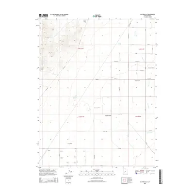
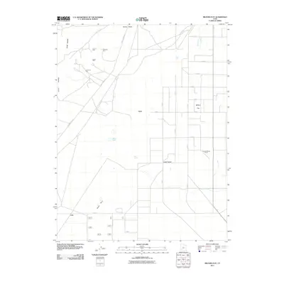 2011 Milford Flat2011 Print · USGSCovers Cook Corner, including Minersville, Beaver County, and other nearby areas
 - 2014 Map of Milford Flat, 2014 Print
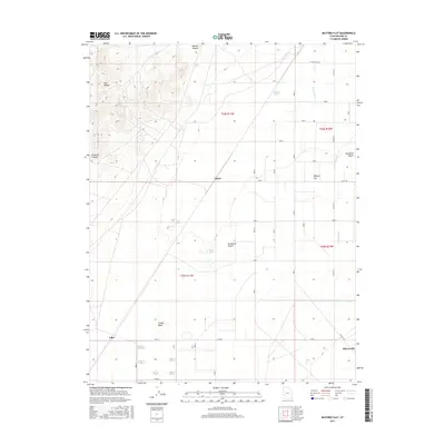
 2014 Milford Flat2014 Print · USGSCovers Cook Corner, including Minersville, Beaver County, and other nearby areas
 - 2017 Map of Milford Flat, 2017 Print
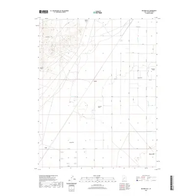
 2017 Milford Flat2017 Print · USGSCovers Cook Corner, including Minersville, Beaver County, and other nearby areas
 - 2020 Map of Milford Flat, 2020 Print
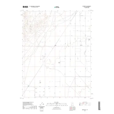
 2020 Milford Flat2020 Print · USGSCovers Cook Corner, including Minersville, Beaver County, and other nearby areas
 - 2023 Map of Milford Flat, 2023 Print
 2023 Milford Flat2023 Print · USGSThe Escalante Desert basin meets the Star Range in this recent survey of Beaver County. Researchers can trace the path of the Beaver River and locate water sources like Tadpole Springs or the settlement at Milford Flat.
End of results
Showing maps 1-10 of 10
Top cities near Cook Corner
Frequently asked questions
- What are the different types of historical maps available for Cook Corner?
- What is the oldest map of Cook Corner?
- Where can I purchase historical maps of Cook Corner for my home or office?
- Where can I download high-res historical maps of Cook Corner?
- Are there historical topographic maps available for Cook Corner?
- Is there historical aerial imagery available for Cook Corner?
- Where are historical maps of Cook Corner sourced from?