Old Maps of Etna, Utah for Hiking & Exploration
Hike through history with 11 historic maps of Etna. Explore old trails, ghost towns, and forgotten backroads — perfect for outdoor adventurers and local explorers.
- Rediscover forgotten places: Map out old mining camps, roads, and footpaths that no longer exist on modern maps.
- Layer with modern tools: Combine with LiDAR or satellite views to plan hikes through historical terrain.
- Made for exploration: Popular among hikers, overlanders, and local history lovers.
Use these maps to find adventure and explore the hidden past of Etna.
Etna, UT maps
(11)- 1954 Map of Brigham City, 1968 Print
 1954 Brigham City1968 Print · USGSNorthern Utah and the edges of the Great Salt Lake are captured here during the mid-fifties, showing the region's transition from pioneer rail hubs to modern military ranges. Researchers can find old sidings like Lemay Siding, the Golden Spike Monument, and settlements like Washakie.4 unique versions available
 - 1958 Map of Brigham City
 1958 Brigham City1958 Print · USGSNorthern Utah in the late fifties shows a landscape of extremes, from the salt flats to the bustling Bear River Valley. Trace historical routes like the Old Immigrant Trail and locate local landmarks such as the Brigham Sugar Mill and Booth Valley School.
 - 1962 Map of Brigham City
 1962 Brigham City1962 Print · USGSNorthern Utah in the early sixties reveals a landscape of vast salt flats and growing towns along the Wasatch Front. Researchers can trace the Southern Pacific line past the Golden Spike Monument or locate landmarks like Indian Cave and Donner-Reed Pass.
 - 1971 Map of Grouse Creek, 1974 Print
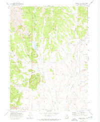 1971 Grouse Creek1974 Print · USGSBox Elder County in the early seventies reveals a high-desert ranching landscape shaped by water and isolation. Genealogists and historians can trace family-named sites like Paskett Canyon and Bill Shaw Canyon or locate the local cemetery and Grouse Creek settlement.2 unique versions available
 - 1987 Map of Grouse Creek
 1987 Grouse Creek1987 Print · USGSHigh desert ranching and transcontinental rail lines define this late-eighties portrait of the Utah-Idaho borderlands. Researchers can trace the Southern Pacific Railroad through Lucin or locate mountain settlements like Yost and Park Valley.2 unique versions available
 - 1991 Map of Grouse Creek
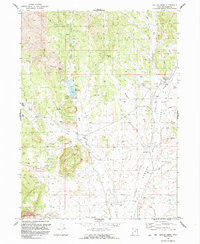 1991 Grouse Creek1991 Print · USGSThe high-desert ranching country of western Utah comes into focus in the early 1990s. Trace the life of old Grouse Creek and Etna through remote landmarks like the Rodeo Ground, the Etna Reservoir, and family-named spots like Paskett Canyon.
 - 2011 Map of Grouse Creek, 2011 Print
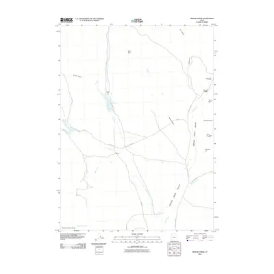 2011 Grouse Creek2011 Print · USGSCovers Etna, including Grouse Creek, Box Elder County, and other nearby areas
 - 2014 Map of Grouse Creek, 2014 Print
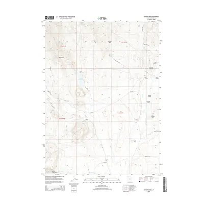 2014 Grouse Creek2014 Print · USGSCovers Etna, including Grouse Creek, Box Elder County, and other nearby areas
 - 2017 Map of Grouse Creek, 2017 Print
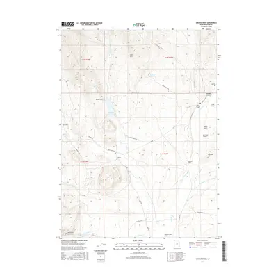 2017 Grouse Creek2017 Print · USGSCovers Etna, including Grouse Creek, Box Elder County, and other nearby areas
 - 2020 Map of Grouse Creek, 2020 Print
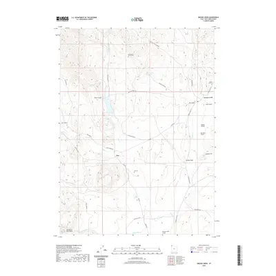 2020 Grouse Creek2020 Print · USGSCovers Etna, including Grouse Creek, Box Elder County, and other nearby areas
 - 2023 Map of Grouse Creek, 2023 Print
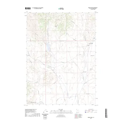 2023 Grouse Creek2023 Print · USGSBox Elder County at the edge of the Great Basin is shown here in the 2020s, revealing a landscape of remote ranching outposts. Genealogists can locate Kimber Ranch Burial Ground, Etna Cem, and the high desert Narrows of Dairy Valley.
End of results
Showing maps 1-11 of 11
Top cities near Etna
Frequently asked questions
- What are the different types of historical maps available for Etna?
- What is the oldest map of Etna?
- Where can I purchase historical maps of Etna for my home or office?
- Where can I download high-res historical maps of Etna?
- Are there historical topographic maps available for Etna?
- Is there historical aerial imagery available for Etna?
- Where are historical maps of Etna sourced from?