Old Maps of Grouse Creek, Utah for Genealogy
Trace your family roots with 11 historic maps of Grouse Creek. These high-res maps reveal old neighborhoods, homesites, landmarks, and streets — helping you uncover where your ancestors lived and how the area evolved over time.
- Explore historic neighborhoods: Identify where your relatives may have lived in the 1800s or 1900s.
- Compare maps over time: Trace the changes in streets, buildings, and landmarks for multi-generational research.
- Perfect for genealogy & ancestry research: Used by family historians and researchers to map out lineage and migration.
These maps are an incredible resource for exploring your personal connection to Grouse Creek's past.
Grouse Creek, UT maps
(11)- 1954 Map of Brigham City, 1968 Print
 1954 Brigham City1968 Print · USGSNorthern Utah and the edges of the Great Salt Lake are captured here during the mid-fifties, showing the region's transition from pioneer rail hubs to modern military ranges. Researchers can find old sidings like Lemay Siding, the Golden Spike Monument, and settlements like Washakie.4 unique versions available
 - 1958 Map of Brigham City
 1958 Brigham City1958 Print · USGSNorthern Utah in the late fifties shows a landscape of extremes, from the salt flats to the bustling Bear River Valley. Trace historical routes like the Old Immigrant Trail and locate local landmarks such as the Brigham Sugar Mill and Booth Valley School.
 - 1962 Map of Brigham City
 1962 Brigham City1962 Print · USGSNorthern Utah in the early sixties reveals a landscape of vast salt flats and growing towns along the Wasatch Front. Researchers can trace the Southern Pacific line past the Golden Spike Monument or locate landmarks like Indian Cave and Donner-Reed Pass.
 - 1971 Map of Grouse Creek, 1974 Print
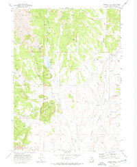 1971 Grouse Creek1974 Print · USGSBox Elder County in the early seventies reveals a high-desert ranching landscape shaped by water and isolation. Genealogists and historians can trace family-named sites like Paskett Canyon and Bill Shaw Canyon or locate the local cemetery and Grouse Creek settlement.2 unique versions available
 - 1987 Map of Grouse Creek
 1987 Grouse Creek1987 Print · USGSHigh desert ranching and transcontinental rail lines define this late-eighties portrait of the Utah-Idaho borderlands. Researchers can trace the Southern Pacific Railroad through Lucin or locate mountain settlements like Yost and Park Valley.2 unique versions available
 - 1991 Map of Grouse Creek
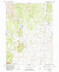 1991 Grouse Creek1991 Print · USGSThe high-desert ranching country of western Utah comes into focus in the early 1990s. Trace the life of old Grouse Creek and Etna through remote landmarks like the Rodeo Ground, the Etna Reservoir, and family-named spots like Paskett Canyon.
 - 2011 Map of Grouse Creek, 2011 Print
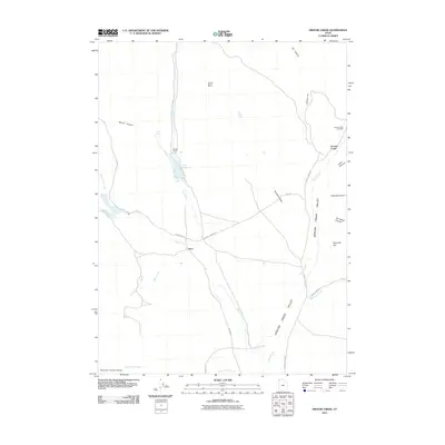 2011 Grouse Creek2011 Print · USGSGrouse Creek and the surrounding high-desert valley are captured here in the early twenty-first century as a landscape of isolated ranches and rugged canyons. Genealogists and historians can locate family landmarks like the Kimber Ranch Burial, the Grouse Creek Cemetery, and the remote outpost of Etna.
 - 2014 Map of Grouse Creek, 2014 Print
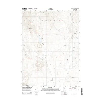 2014 Grouse Creek2014 Print · USGSThis high-desert survey of Box Elder County captures the ranching and pioneer roots of Grouse Creek and Etna during the early twenty-first century. Genealogists and local historians can trace family locations through landmarks like Kimber Ranch, the Grouse Creek Cem, and the Kimber Ranch Burial.
 - 2017 Map of Grouse Creek, 2017 Print
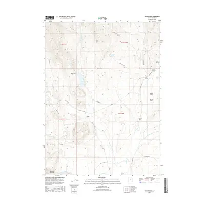 2017 Grouse Creek2017 Print · USGSGrouse Creek and the remote ranching outpost of Etna are captured here in the high desert of northern Utah. Genealogists and local historians can trace family land via Kimber Ranch Burial, Paskett Canyon, and the Grouse Creek Cem.
 - 2020 Map of Grouse Creek, 2020 Print
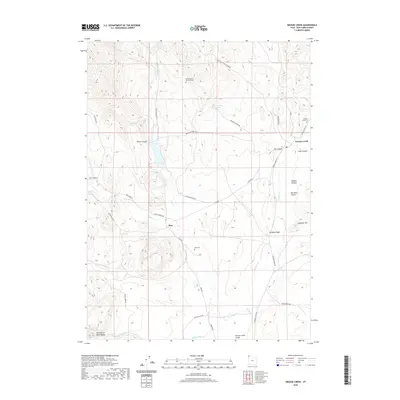 2020 Grouse Creek2020 Print · USGSNorthwestern Utah ranching country is captured here in the contemporary era, centered on the high-desert valley floor. Local historians and genealogists can trace family landmarks and burial sites like the Kimber Ranch Burial Ground, Etna Cem, and Bill Shaw Canyon.
 - 2023 Map of Grouse Creek, 2023 Print
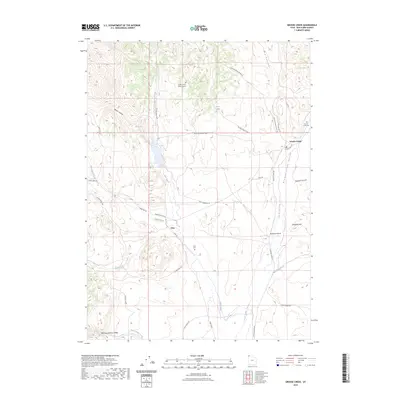 2023 Grouse Creek2023 Print · USGSBox Elder County at the edge of the Great Basin is shown here in the 2020s, revealing a landscape of remote ranching outposts. Genealogists can locate Kimber Ranch Burial Ground, Etna Cem, and the high desert Narrows of Dairy Valley.
End of results
Showing maps 1-11 of 11
Frequently asked questions
- What are the different types of historical maps available for Grouse Creek?
- What is the oldest map of Grouse Creek?
- Where can I purchase historical maps of Grouse Creek for my home or office?
- Where can I download high-res historical maps of Grouse Creek?
- Are there historical topographic maps available for Grouse Creek?
- Is there historical aerial imagery available for Grouse Creek?
- Where are historical maps of Grouse Creek sourced from?