Old Maps of Brachipad Summer Home Area, Utah for Genealogy
Trace your family roots with 13 historic maps of Brachipad Summer Home Area. These high-res maps reveal old neighborhoods, homesites, landmarks, and streets — helping you uncover where your ancestors lived and how the area evolved over time.
- Explore historic neighborhoods: Identify where your relatives may have lived in the 1800s or 1900s.
- Compare maps over time: Trace the changes in streets, buildings, and landmarks for multi-generational research.
- Perfect for genealogy & ancestry research: Used by family historians and researchers to map out lineage and migration.
These maps are an incredible resource for exploring your personal connection to Brachipad Summer Home Area's past.
Brachipad Summer Home Area, UT maps
(13)- 1914 Map of Logan, 1957 Print
 1914 Logan1957 Print · USGSCache Valley thrives in the early nineteen-hundreds as a hub of rail travel and sugar beet processing. Genealogists can locate family homesteads near Stephenson School, trace the Oregon Short Line, or find remote operations like the Amazon Mine.
 - 1916 Map of Logan
 1916 Logan1916 Print · USGSCache Valley and the northern Wasatch Range come alive in this mid-1910s survey, showing the peak of the local rail-and-sugar economy. Genealogists can locate family holdings like Hardware Ranch, early rural sites like Stephenson School, and the industrial Sugar Factory.4 unique versions available
 - 1954 Map of Ogden, 1967 Print
 1954 Ogden1967 Print · USGSThe northern Utah corridor and Wyoming borderlands are captured here in the mid-1950s, showing the region's transition from mountain wilderness to settled valleys. Researchers can trace historic institutions like Utah State University or locate vanished points like Church Butte Station and the Trappist Monastery.3 unique versions available
 - 1958 Map of Ogden
 1958 Ogden1958 Print · USGSNorthern Utah and southwestern Wyoming are captured here during a period of steady growth and military expansion. You can trace the Union Pacific rail lines and early road networks connecting Ogden and Logan to Bear Lake and Evanston.
 - 1960 Map of Ogden
 1960 Ogden1960 Print · USGSIn the mid-1950s, this region of the American West balanced military expansion with frontier history along the Union Pacific RR. Genealogists and historians can trace old settlements like Fort Bridger, the residential growth of Washington Terrace, and industrial sites from the Hill AFB complex to the coal mines of Kemmerer.
 - 1969 Map of Temple Peak, 1973 Print
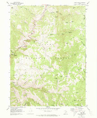 1969 Temple Peak1973 Print · USGSThe Cache National Forest high country comes into focus in the late sixties as a landscape of remote camps and historic waypoints. Hikers and historians can trace the paths to Ephraims Grave, locate the Loma Girls Camp, or explore the cavern at Logan Cave.3 unique versions available
 - 1984 Map of Logan, 1985 Print
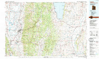 1984 Logan1985 Print · USGSNorthern Utah and its borderlands with Idaho and Wyoming are shown here in the mid-1980s as the Cache Valley communities grew. Researchers can trace the Union Pacific rail lines and find legacy sites like College Ward, Pickleville, and Utah State University.3 unique versions available
 - 1998 Map of Temple Peak, 2001 Print
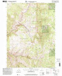 1998 Temple Peak2001 Print · USGSThe Cache National Forest in the late 1990s was a landscape of deep canyons and high mountain springs. Researchers can trace land-use history through sites like the Temple Fork Sawmill, Hunsaker Corral, and the poignant Ephraims Grave.
 - 2011 Map of Temple Peak, 2011 Print
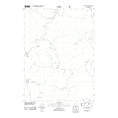 2011 Temple Peak2011 Print · USGSThe high canyons and watercourses of Cache County are detailed in this early twenty-first-century survey. Researchers can trace land use through features like Twin Creek Corral, Brachipad Summer Home Area, and the Lomia Girlscamp.
 - 2014 Map of Temple Peak, 2014 Print
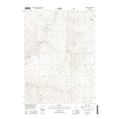 2014 Temple Peak2014 Print · USGSThe high canyons of the Bear River Range come to life in this survey of the northern Utah wilderness. Researchers can locate remote landmarks like Ephraims Grave, trace the Logan River, and identify distinct terrain features such as Willis Sink.
 - 2017 Map of Temple Peak, 2017 Print
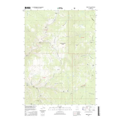 2017 Temple Peak2017 Print · USGSCache County's high mountain valleys are documented here during the mid-2010s, showcasing a landscape of national forest management and historic landmarks. Trace the locations of the Temple Fork Sawmill, the solitary Ephraims Grave, and the waters of Little Bear Pond.
 - 2020 Map of Temple Peak, 2020 Print
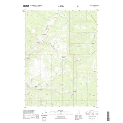 2020 Temple Peak2020 Print · USGSCache County and the high peaks of the Wasatch Range are shown in detail during the early twenty-first century. Researchers can locate family-named landmarks like Maughan Hollow or visit the site of Ephraims Grave near Steel Hollow.
 - 2023 Map of Temple Peak, 2023 Print
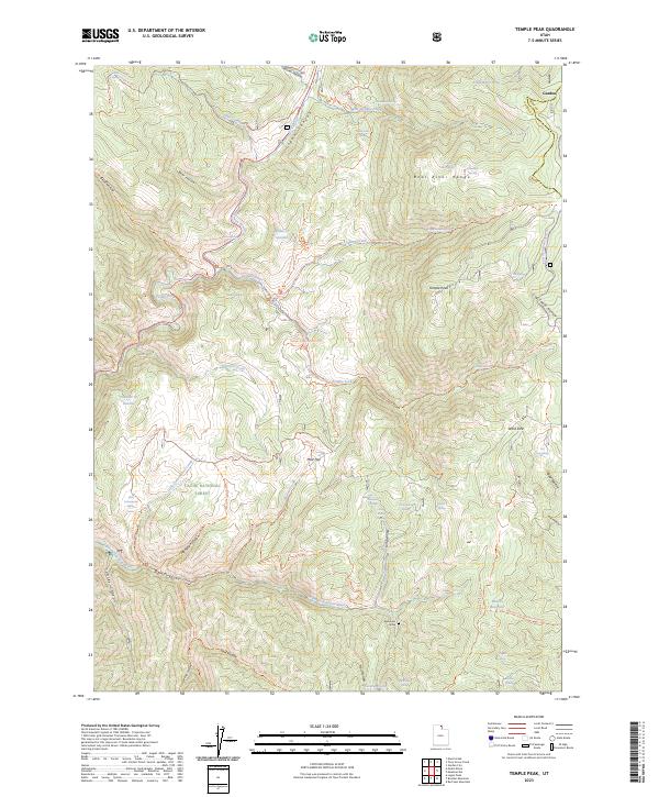 2023 Temple Peak2023 Print · USGSThe high peaks and deep canyons of Cache County are mapped here in the early twenty-first century. Researchers can locate the site of Ephraims Grave or trace the early paths of the Logan River and Temple Fork through the forest.
End of results
Showing maps 1-13 of 13
Top cities near Brachipad Summer Home Area
- Logan historical maps
- Hyrum historical maps
- North Logan historical maps
- Smithfield historical maps
- Providence historical maps
- Nibley historical maps
See more
Frequently asked questions
- What are the different types of historical maps available for Brachipad Summer Home Area?
- What is the oldest map of Brachipad Summer Home Area?
- Where can I purchase historical maps of Brachipad Summer Home Area for my home or office?
- Where can I download high-res historical maps of Brachipad Summer Home Area?
- Are there historical topographic maps available for Brachipad Summer Home Area?
- Is there historical aerial imagery available for Brachipad Summer Home Area?
- Where are historical maps of Brachipad Summer Home Area sourced from?