Old Maps of Helper, Utah for Metal Detecting
Plan your next treasure hunt with 20 historic maps of Helper. Find old homesites, ghost towns, trails, and gathering spots that may be lost to time — perfect for identifying promising metal detecting locations.
- Locate forgotten sites: Uncover places like long-lost settlements, abandoned rail lines, or gathering spots.
- Plan better hunts: Use map overlays combined with LiDAR or satellite views to narrow in on historically rich areas.
- Made for detectorists: Thousands of hobbyists use these maps to discover relics, coins, and hidden history.
Use these historic maps to boost your research and find new opportunities beneath the surface of Helper.
Helper, UT maps
(20)- 1886 Map of Price River
 1886 Price River1886 Print · USGSEmery County and the surrounding canyonlands are documented here just as the railroad arrived in the mid-1880s. Local researchers can trace the early path of the Denver and Rio Grande Western R. R. through Castle Gate, Price, and Sunny Side.4 unique versions available
 - 1896 Map of Price River
 1896 Price River1896 Print · USGSEmery County was transitioning into a vital rail corridor during the late nineteenth century. Trace the early layout of Price and Castle Dale alongside the winding Denver and Rio Grande Western RR and the depths of Desolation Canyon.
 - 1914 Map of Castle Gate, 1968 Print
 1914 Castle Gate1968 Print · USGSCarbon County’s coal and rail corridor comes to life in this early-century survey of the rugged Book Cliffs region. Genealogists and historians can trace the foundations of mining towns like Standardville and Kenilworth or locate the Aberdeen Mine and Carbonville School.
 - 1916 Map of Castle Gate, 1938 Print
 1916 Castle Gate1938 Print · USGSCarbon County’s coal industry and rail networks are captured here during the height of the early 20th-century mining boom. Trace the vanished spurs of the Southern Utah Railroad and locate remote camps like Standardville, Kenilworth, and the Aberdeen Mine.2 unique versions available
 - 1956 Map of Price, 1968 Print
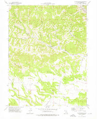
 1956 Price1968 Print · USGSCentral Utah in the mid-fifties showcases a landscape shaped by coal mining and mountain-fed irrigation. Trace the rail-and-river economy through the Geneva Coal Mine, the Union Pacific line, and settlements like Price and Ephraim.3 unique versions available
 - 1960 Map of Price
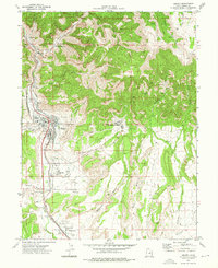
 1960 Price1960 Print · USGSCentral Utah in the late fifties was a landscape of coal-hauling railroads and high plateau settlements. Genealogists and local historians can trace the rail-to-river economy from Price to the mountain mining camps of Hiawatha, Dragerton, and Sunnyside.2 unique versions available
 - 1962 Map of Price
 1962 Price1962 Print · USGSCentral Utah during the early sixties shows a landscape balancing high-mountain forestry with valley agriculture and coal mining. Genealogists and historians can trace the Denver and Rio Grande Western rail lines through industrial hubs like Price or locate formerly active sites like Coal City (abandoned).
 - 1972 Map of Standardville, 1976 Print
 1972 Standardville1976 Print · USGSCarbon County’s coal heritage is on full display in the early seventies, centered on the company towns of Spring Canyon. Researchers can trace the industrial footprint of the Standardville Tipple and the Utah Railway through camps like Latuda and Mutual.
 - 1972 Map of Helper, 1976 Print
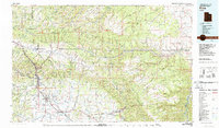
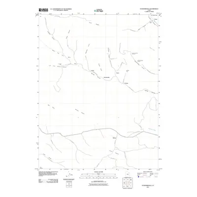
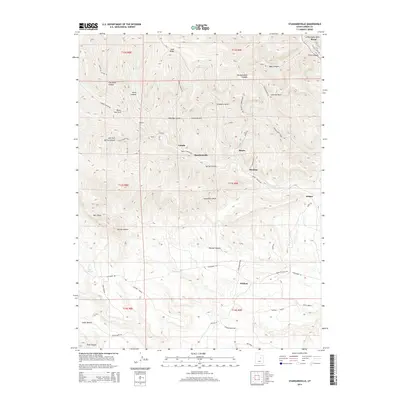
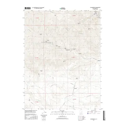
 1972 Helper1976 Print · USGSCarbon County’s industrial heartland is documented here in the early seventies, centered on the rail hubs and coal camps of the Book Cliffs. Genealogists and researchers can trace family roots at Mountain View Cem or locate the workings of the Aberdeen Mine and Kenilworth.3 unique versions available
 - 1980 Map of Price, 1987 Print
 1980 Price1987 Print · USGSCarbon County in the early 1980s is defined by its deep canyons and intensive coal operations. Researchers can trace the rail spurs and mining works of the Denver and Rio Grande Western Railroad that connect Price, Helper, and the Sunnyside Mine.3 unique versions available
 - 2011 Map of Helper, 2011 Print
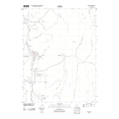 2011 Helper2011 Print · USGSCovers Helper, including Kenilworth, Spring Glen, and other nearby areas
 - 2011 Map of Standardville, 2011 Print
 2011 Standardville2011 Print · USGSCovers Helper, including Standardville, Peerless, and other nearby areas
 - 2014 Map of Standardville, 2014 Print
 2014 Standardville2014 Print · USGSCovers Helper, including Standardville, Peerless, and other nearby areas
 - 2014 Map of Helper, 2014 Print
 2014 Helper2014 Print · USGSCovers Helper, including Kenilworth, Spring Glen, and other nearby areas
 - 2017 Map of Helper, 2017 Print
 2017 Helper2017 Print · USGSCovers Helper, including Kenilworth, Spring Glen, and other nearby areas
 - 2017 Map of Standardville, 2017 Print
 2017 Standardville2017 Print · USGSCovers Helper, including Standardville, Peerless, and other nearby areas
 - 2020 Map of Helper, 2020 Print
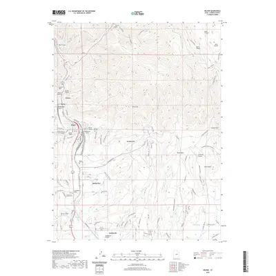 2020 Helper2020 Print · USGSCovers Helper, including Kenilworth, Spring Glen, and other nearby areas
 - 2020 Map of Standardville, 2020 Print
 2020 Standardville2020 Print · USGSCovers Helper, including Standardville, Peerless, and other nearby areas
 - 2023 Map of Helper, 2023 Print
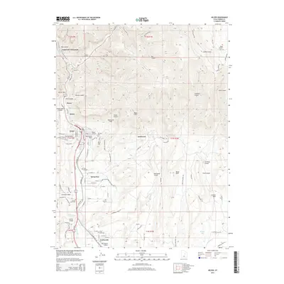
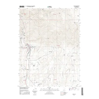
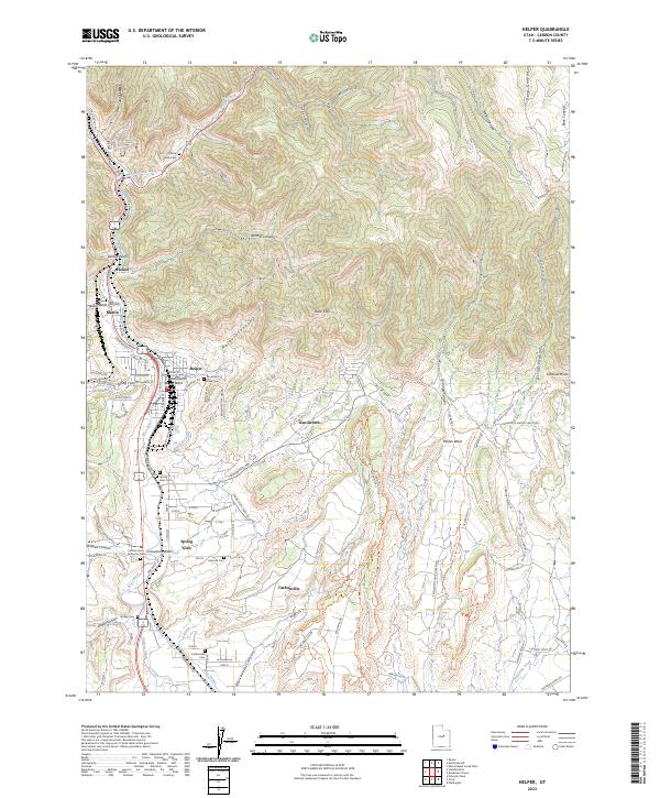 2023 Helper2023 Print · USGSThe rail-and-coal legacy of the Helper corridor is captured here at the base of the Book Cliffs. Researchers can trace the lineage of local families through numerous burial sites like Castle Gate Cem or follow the path of the Old RR Grade near Kenilworth.
 - 2023 Map of Standardville, 2023 Print
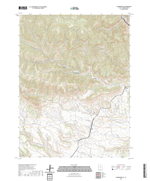 2023 Standardville2023 Print · USGSThe high canyon country of Carbon County is revealed here in its modern form, showing the enduring footprint of historic mining towns. Researchers can trace the narrow settlements of Latuda and Standardville or locate landmarks like The Castle Gate.
End of results
Showing maps 1-20 of 20
Top cities near Helper
Top neighborhoods of Helper
Frequently asked questions
- What are the different types of historical maps available for Helper?
- What is the oldest map of Helper?
- Where can I purchase historical maps of Helper for my home or office?
- Where can I download high-res historical maps of Helper?
- Are there historical topographic maps available for Helper?
- Is there historical aerial imagery available for Helper?
- Where are historical maps of Helper sourced from?