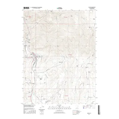
2017 Map of Helper
USGS Topo · Published 2017About this map
The Price River corridor defines the geography of this Carbon County region, where the industrial legacy of coal mining and the rail infrastructure of the B RR Track Rd meet the dramatic topography of the Book Cliffs. Settlements such as Helper, Kenilworth, and Spring Glen are situated along the valley floor, connected by an intricate network of irrigation systems including the Carbon Canal, Price Canal, and Glen Canal. These waterways underscore the historic effort to reclaim the arid landscape for agriculture alongside the area's primary extractive industries.
Find a feature on this map
104 named features on this map. Tap any name to fly to it.
Don’t see what you’re looking for? This feature index may not catch every label — zoom into the map to look around manually.
Map Details
Editions of this 2017 Helper Map
This is the sole edition of this map. No revisions or reprints were ever made.
Other maps of this area

1886 · Price River
USGS Topo · 1:250,000

1896 · Price River
USGS Topo · 1:250,000

1914 · Castle Gate
USGS Topo · 1:62,500

1915 · Wellington
USGS Topo · 1:62,500

1916 · Castle Gate
USGS Topo · 1:62,500

1956 · Price
USGS Topo · 1:250,000

1960 · Price
USGS Topo · 1:250,000

1962 · Price
USGS Topo · 1:250,000
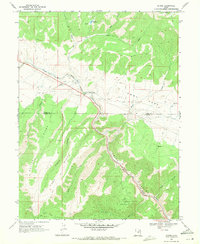
1969 · Kyune
USGS Topo · 1:24,000
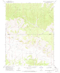
1969 · Minnie Maud Creek West
USGS Topo · 1:24,000