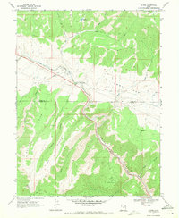
1969 Map of Kyune
USGS Topo · Published 1971About this map
Kyune and the surrounding high-altitude terrain of the Utah Co-Carbon Co border are defined by the narrow corridor of the Denver and Rio Grande Western railroad. This industrial lifeline follows the path of the Price River through steep canyons, serving a landscape marked by scattered Mines, a Quarry, and multiple Gravel Pits. The map illustrates the logistical challenges of the era, where the railroad and the primary roadway are squeezed between the rising walls of Price Canyon and the expansive Emma Park plateau.
Find a feature on this map
29 named features on this map. Tap any name to fly to it.
Don’t see what you’re looking for? This feature index may not catch every label — zoom into the map to look around manually.
Map Details
Editions of this 1969 Kyune Map
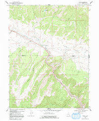
2 editions found
Other maps of this area

1885 · Manti
USGS Topo · 1:250,000

1886 · Price River
USGS Topo · 1:250,000

1895 · Manti
USGS Topo · 1:250,000

1896 · Price River
USGS Topo · 1:250,000

1914 · Castle Gate
USGS Topo · 1:62,500

1916 · Castle Gate
USGS Topo · 1:62,500

1923 · Scofield
USGS Topo · 1:62,500

1925 · Scofield
USGS Topo · 1:62,500

1939 · Soldier Summit
USGS Topo · 1:62,500

1942 · Soldier Summit
USGS Topo · 1:62,500