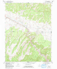
1969 Map of Kyune
USGS Topo · Published 1991About this map
The Price River cuts a deep corridor through this high-altitude landscape on the border of Utah and Carbon Counties, following a narrow path alongside the small settlement of Kyune. Photogrammetric methods from 1965 capture a landscape defined by industrial and recreational utility, where numerous mines and a Quarry are scattered across the high ridges. The map documents water management and transportation infrastructure essential to the region's economy, including the Kyune Reservoir and a Gaging Station on the river.
Find a feature on this map
37 named features on this map. Tap any name to fly to it.
Don’t see what you’re looking for? This feature index may not catch every label — zoom into the map to look around manually.
Map Details
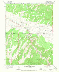
Editions of this 1969 Kyune Map
2 editions found
Other maps of this area

1885 · Manti
USGS Topo · 1:250,000

1886 · Price River
USGS Topo · 1:250,000

1895 · Manti
USGS Topo · 1:250,000

1896 · Price River
USGS Topo · 1:250,000

1914 · Castle Gate
USGS Topo · 1:62,500

1916 · Castle Gate
USGS Topo · 1:62,500

1923 · Scofield
USGS Topo · 1:62,500

1925 · Scofield
USGS Topo · 1:62,500

1939 · Soldier Summit
USGS Topo · 1:62,500

1942 · Soldier Summit
USGS Topo · 1:62,500