2020s Maps of Daggett County, Utah
Explore 26 historic maps of Daggett County from the 2020s. These maps offer a rare glimpse into what life looked like during the 2020s — showing old roads, neighborhoods, homes, and landmarks that have changed or disappeared over time.
Whether you're researching your family's past, planning a metal detecting trip, or studying how Daggett County's landscape evolved across the 2020s, these high-resolution maps are a powerful tool for exploring the history of this region.
- Focus on a specific era: All maps on this page are from the 2020s, giving you a focused view of this time period.
- See what’s changed: Compare century-old streets, trails, and buildings to today's modern landscape using overlays and satellite layers.
- Research with precision: Use these maps for genealogy, historical research, land use analysis, or educational projects.
- View, download, or print: Maps are fully viewable online in high resolution, and can be downloaded or printed for your own records.
Start exploring Daggett County's history through authentic maps from the 2020s. This is your window into the past.
Daggett County, UT maps
(26)- 2021 Map of Hawks Nest, 2021 Print
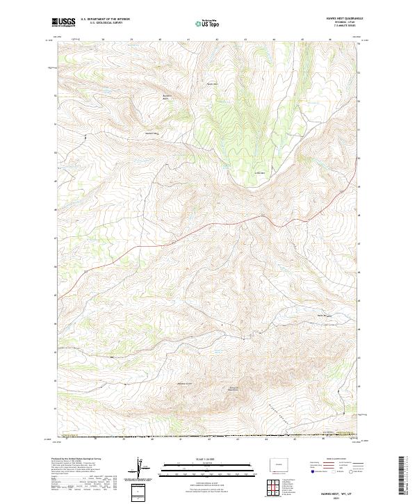 2021 Hawks Nest2021 Print · USGSThe high-desert terrain of southern Wyoming is documented here just north of the Utah border. Genealogists and historians can trace the vital water sources and landmarks of the region, including Richards Mountains, Hawks Nest, and Lousy George Spring.
 - 2021 Map of Richards Gap, 2021 Print
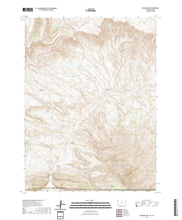 2021 Richards Gap2021 Print · USGSThe High Desert borderlands of Wyoming and Utah are detailed in this survey of a rugged interior corridor. Researchers can trace historical routes and remote water sources like Richards Gap, Coal Mine Draw, and Castello Spring.
 - 2021 Map of Red Creek Ranch, 2021 Print
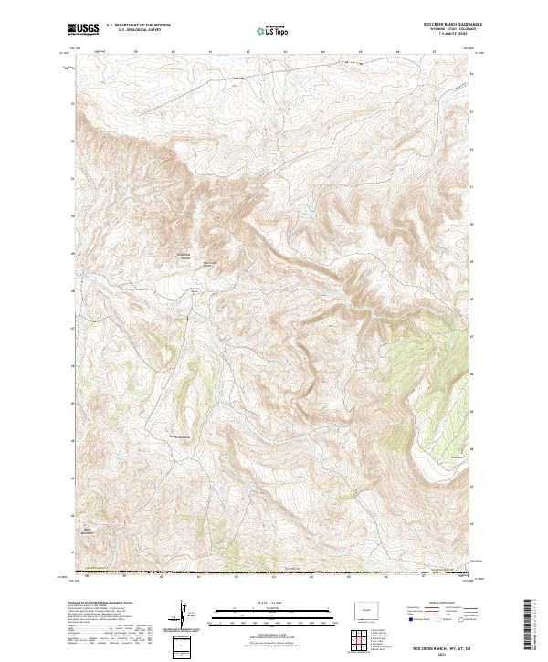 2021 Red Creek Ranch2021 Print · USGSSweetwater County ranching and high-desert hydrology are documented in this recent survey of the Wyoming-Utah-Colorado borderlands. Researchers can trace the remote Red Creek Ranch and landmarks like Telephone Canyon or the Tepee Mountains.
 - 2021 Map of Minnies Gap, 2021 Print
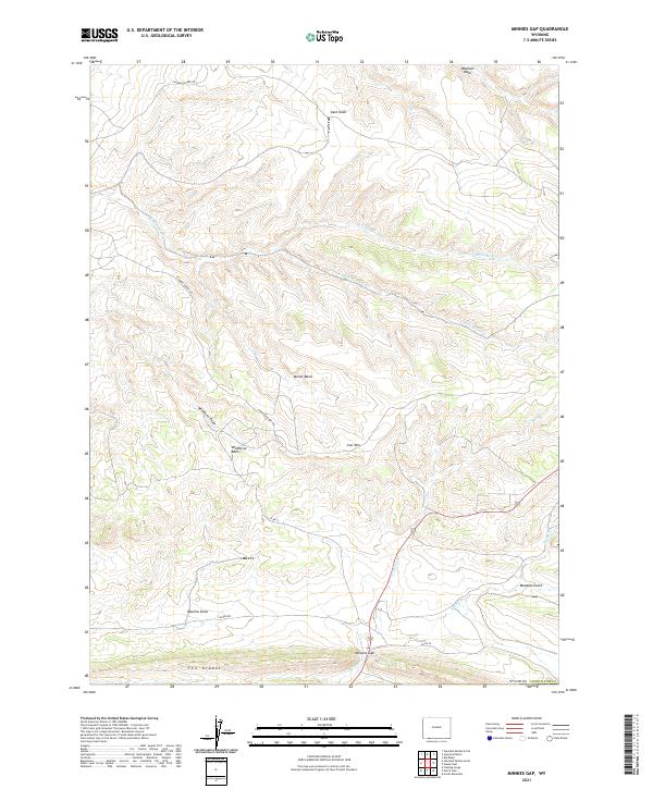 2021 Minnies Gap2021 Print · USGSHigh-desert basins and rugged draws of Sweetwater County appear here in detail during the early twenty-first century. Researchers can trace the drainage patterns of Jarvies Marsh Cr and find landmarks like Iron Mtn and Wildhorse Basin.
 - 2023 Map of Swallow Canyon, 2023 Print
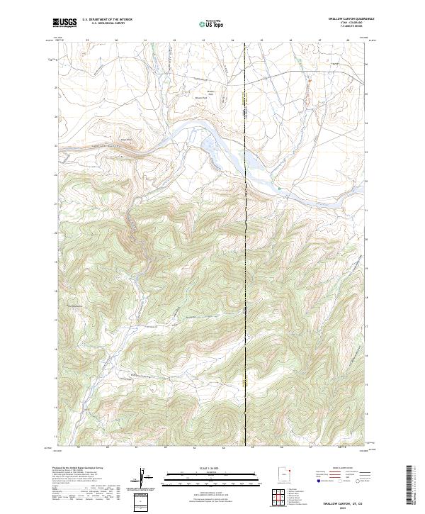 2023 Swallow Canyon2023 Print · USGSThe Green River flows through the Uinta Mountains at the Utah-Colorado border in this contemporary survey. Researchers can trace the river's path from Swallow Canyon into Browns Park and locate features like Kings Point and Crouse Canyon.
 - 2023 Map of Whiterocks Lake, 2023 Print
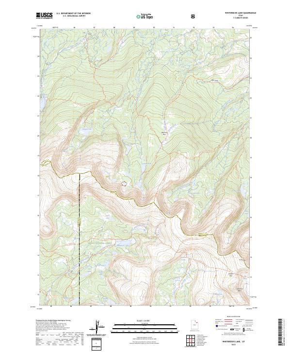 2023 Whiterocks Lake2023 Print · USGSHigh in the Uinta Mountains during the early twenty-first century, this map details a pristine alpine watershed where three Utah counties converge. Researchers can trace high-country routes like the Uinta Highline Trl between Whiterocks Lake and Gabbro Pass.
 - 2023 Map of Goslin Mountain, 2023 Print
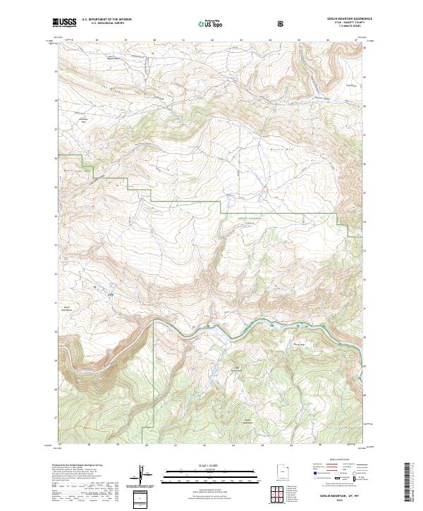 2023 Goslin Mountain2023 Print · USGSThe northern slopes of the Uinta Mountains and the deep gorge of the Green River define this part of Daggett County. Trace historic routes and water sources from Lowline Historic Trl to Cow Spring and the high plateaus of Dutch John Bench.
 - 2023 Map of Mount Lena, 2023 Print
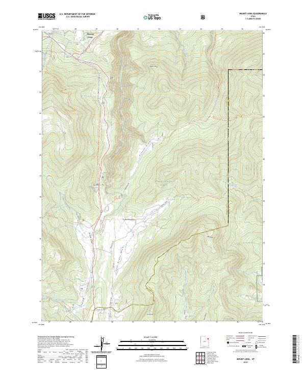 2023 Mount Lena2023 Print · USGSThe high backcountry of the Uinta Mountains is mapped here just as modern recreation trails were formalizing across the county line. Trace the path of the Don Hatch Memorial Trl or locate remote landmarks like Speirs Peak and Mt Lena.
 - 2023 Map of Dyer Mountain, 2023 Print
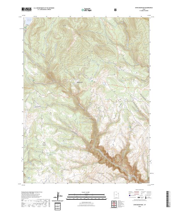 2023 Dyer Mountain2023 Print · USGSThe high Uintah mountains come into focus in this recent survey of northeastern Utah's wilderness and forest lands. Researchers can trace historical routes and water sources through Bullionville, Dodds Hollow, and the Taylor Mountain Plateau.
 - 2023 Map of Burnt Cabin Gorge, 2023 Print
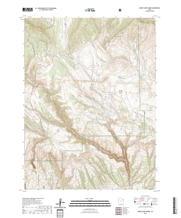 2023 Burnt Cabin Gorge2023 Print · USGSHigh in the canyons of northeastern Utah, this recent survey shows the complex geography of the Ashley National Forest. Researchers can trace the network of mountain roads and water sources like Counting Station Reservoir, Limestone Spring, and the dramatic Burnt Cabin Gorge.
 - 2023 Map of Warren Draw, 2023 Print
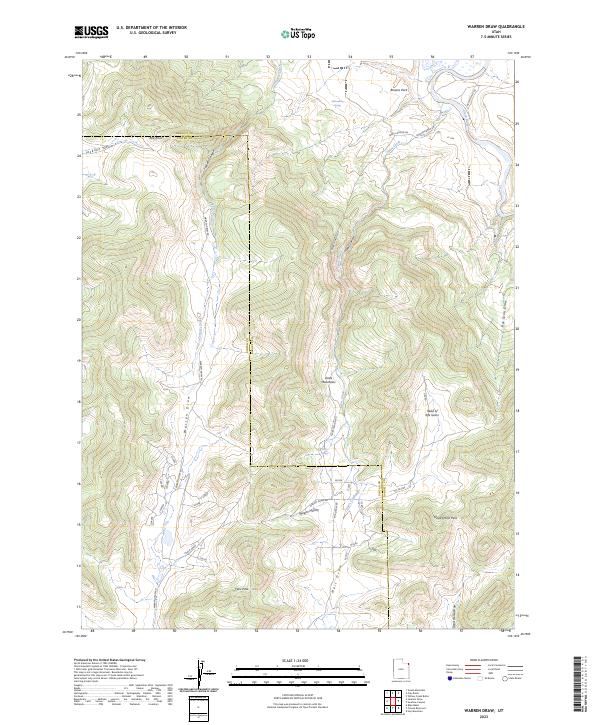 2023 Warren Draw2023 Print · USGSNortheastern Utah's high-country terrain meets the basin of Browns Park in this recent survey of the Uintah and Daggett county line. Researchers can trace remote mountain passages like Dead Horse Pass and isolated water sources such as Sears Spring.
 - 2023 Map of Hoy Mountain, 2023 Print
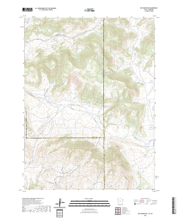 2023 Hoy Mountain2023 Print · USGSThe high ridges of the Utah and Colorado borderlands come alive in this modern survey of the remote backcountry. Researchers can trace the winding paths of Pot Creek Rd past Hoy Mtn or locate the Jones Hole National Fish Hatchery near the state line.
 - 2023 Map of Crouse Reservoir, 2023 Print
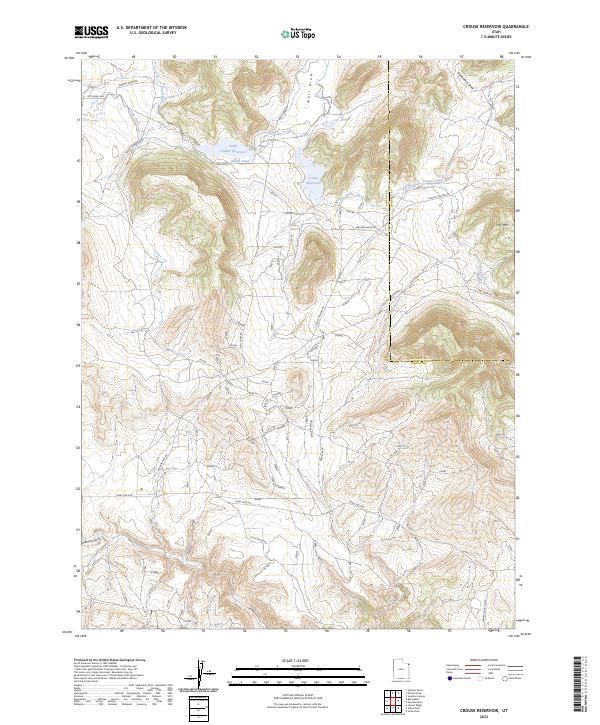 2023 Crouse Reservoir2023 Print · USGSThe high-plateau country of eastern Utah is documented here in the early twenty-first century, showing the intersection of federal conservation and private ranching. Trace local history through Jones Hole National Fish Hatchery and ranch roads like Cook Ranch Rd.
 - 2023 Map of Chepeta Lake, 2023 Print
 2023 Chepeta Lake2023 Print · USGSThe High Uintas Wilderness comes into sharp focus in this recent survey of the Summit and Duchesne county border. Hikers and cartography enthusiasts can trace the paths of the Uinta Highline Trl to remote water bodies like Chepeta Lake and Cleveland Lake.
 - 2023 Map of Flaming Gorge, 2023 Print
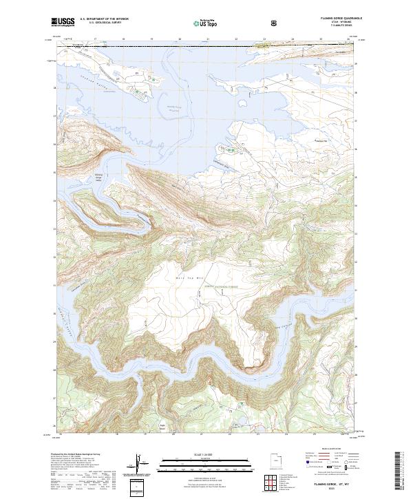 2023 Flaming Gorge2023 Print · USGSThe Utah-Wyoming border country is surveyed here in the twenty-first century, showcasing the modern reach of the Flaming Gorge Reservoir. Researchers can trace the shoreline of Linwood Bay and locate landmarks like Bare Top Mtn and the Swett Ranch Trl.
 - 2023 Map of Willow Creek Butte, 2023 Print
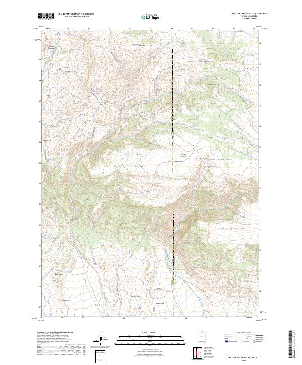 2023 Willow Creek Butte2023 Print · USGSThe high desert borderlands of Utah and Colorado appear in modern detail on this 2023 survey of the Browns Park region. Trace the remote network of upland water sources and peaks, including Slippery Jim Spring, Whisky Peak, and the Browns Park National Wildlife Refuge.
 - 2023 Map of Jackson Draw, 2023 Print
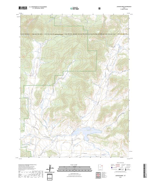 2023 Jackson Draw2023 Print · USGSUintah County's high-country ranching and forest lands are captured here in the early twenty-first century. Researchers can trace historic family-named routes and water sources including Sodoway Ranch Rd, Matt Warner Reservoir, and Gorge Creek.
 - 2023 Map of Leidy Peak, 2023 Print
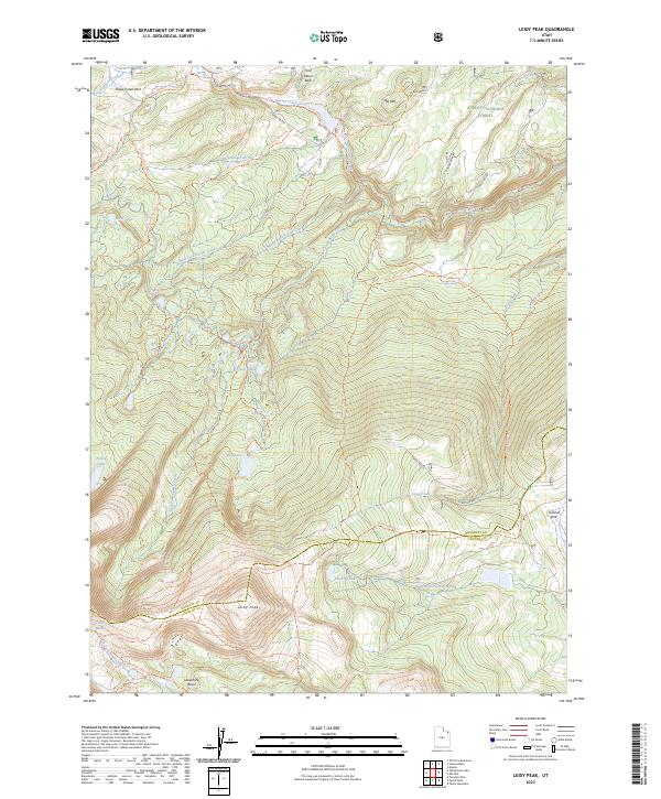 2023 Leidy Peak2023 Print · USGSThe high Uinta wilderness along the Daggett and Uintah county line is documented here in the early twenty-first century. Hikers and historians can trace the paths of the Old Carter Military Trl and find remote water bodies like Hacking Lake and Red Lake.
 - 2023 Map of Elk Park, 2023 Print
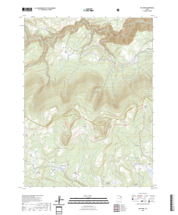 2023 Elk Park2023 Print · USGSThe high Uinta backcountry is mapped here in the early twenty-first century, showcasing a landscape of high-elevation meadows and forest trails. Researchers can trace historic landmarks like Pat Carroll Park and Soldier Park or follow the route of the Uinta Highline Trl.
 - 2023 Map of Clay Basin, 2023 Print
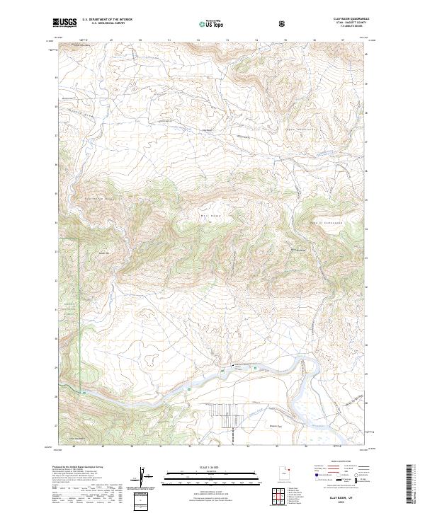 2023 Clay Basin2023 Print · USGSBrowns Park and the Green River corridor are documented in this modern study of the Utah-Wyoming borderlands. Researchers can locate the John Jarvie Ranch, trace the Historic Site Cem, and explore landmarks like Band Box Butte.
 - 2023 Map of Hoop Lake, 2023 Print
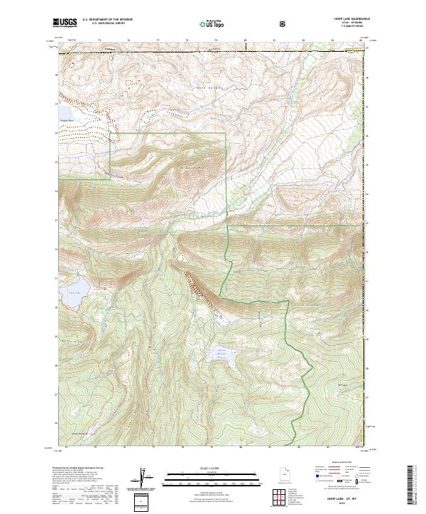 2023 Hoop Lake2023 Print · USGSHigh-altitude wilderness along the Wyoming-Utah border comes into focus in this recent study of the Uinta Mountains. Researchers can trace the paths of the Burnt Fork Trl through Gregory Basin or locate the remote waters of Hoop Lake and Beaver Meadow Reservoir.
 - 2023 Map of East Park Reservoir, 2023 Print
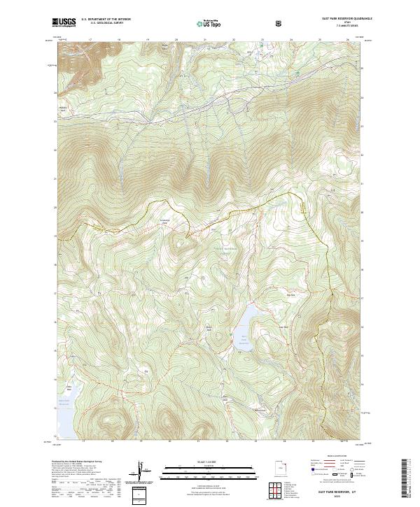 2023 East Park Reservoir2023 Print · USGSThe Uinta Mountains of Northeast Utah come into focus in the 2020s, showing a landscape defined by high-altitude meadows and reservoirs. Map collectors and hikers can trace the Uinta Highline Trl as it winds past Lonesome Park and the waters of East Park Reservoir.
 - 2023 Map of Jessen Butte, 2023 Print
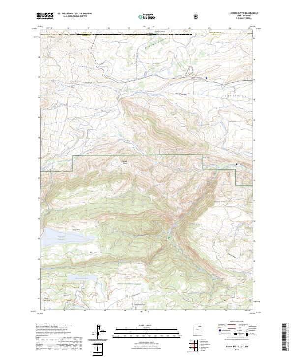 2023 Jessen Butte2023 Print · USGSThe high-desert basins and forest ridges of the Utah-Wyoming border come to life in this recent survey of the Uinta foothills. Researchers can trace historic routes like the Carter Military Trl or locate landmarks such as Dowds Grave and Neff Ranch.
 - 2023 Map of Dutch John, 2023 Print
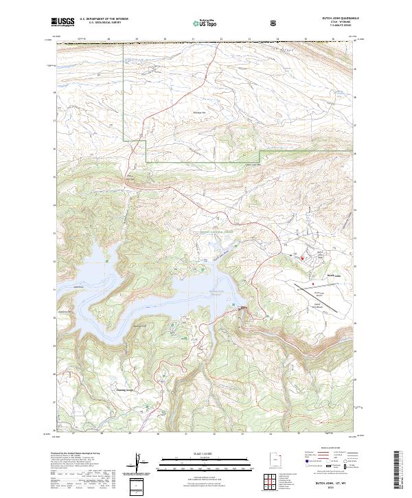 2023 Dutch John2023 Print · USGSThe high-desert community of Dutch John is captured here alongside the vast waters of Flaming Gorge during the early twenty-first century. Researchers can trace the local road network and historic paths like the Lowline Historic Trl, Dutch John Airport, and Greendale Canal.
 - 2023 Map of Manila, 2023 Print
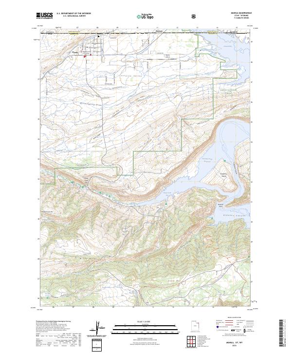 2023 Manila2023 Print · USGSIn the high country of northern Utah, the town of Manila anchors a landscape where high-desert ranching meets the waters of the Flaming Gorge Reservoir. Researchers can trace old irrigation routes like Peoples Canal or locate local landmarks including Manila Cem and the Daggett County Court House.
Showing maps 1-25 of 26
Top cities of Daggett County
Frequently asked questions
- What are the different types of historical maps available for Daggett County?
- What is the oldest map of Daggett County?
- Where can I purchase historical maps of Daggett County for my home or office?
- Where can I download high-res historical maps of Daggett County?
- Are there historical topographic maps available for Daggett County?
- Is there historical aerial imagery available for Daggett County?
- Where are historical maps of Daggett County sourced from?