Old Maps of Boneta, Utah for Academic Research
Study the evolution of Boneta with 12 high-resolution historic maps. Whether you're teaching, researching, or modeling changes in land use, these maps provide essential visual documentation of urban, environmental, and geographic change.
- Analyze long-term change: Track patterns in development, transportation, and natural features.
- Ideal for environmental or urban studies: Support academic projects with primary historical map data.
- Use in the classroom or lab: Educators and researchers rely on these maps to bring historical context to life.
These maps are a powerful tool for teaching, research, and visualizing how Boneta has changed over the decades.
Boneta, UT maps
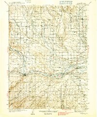
(12)- 1885 Map of Uinta
 1885 Uinta1885 Print · USGSThe high wilderness of northern Utah is documented during the early surveying era of the 1880s. Geologists and historians can trace the headwaters of the Duchesne River and locate landmarks like Gilbert Peak and Rhodes Plateau.6 unique versions available
 - 1939 Map of Duchesne
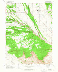
 1939 Duchesne1939 Print · USGSThe Duchesne River valley and the Uinta Basin come alive in the mid-1930s as a landscape of new irrigation and ranching. Genealogists can trace family footprints at Knights Ranch, Monarch Sch, or the remote Pariette Mine.3 unique versions available
 - 1954 Map of Salt Lake City, 1964 Print
 1954 Salt Lake City1964 Print · USGSThe Wasatch Front and Uinta Mountains are captured here in the mid-fifties, showing the industrial heart of Utah and its high mountain wilderness. Researchers can locate vanished infrastructure and landmarks like the Geneva Steel Plant, Bingham Canyon Mine, and the Utah State Prison.4 unique versions available
 - 1958 Map of Salt Lake City
 1958 Salt Lake City1958 Print · USGSThe Wasatch Front and Uinta Basin are captured during a period of significant post-war growth and industrial development. Researchers can trace the mid-century rail lines of the Bamberger RR and locate sites like the Kiegley Limestone Quarry and Camp Williams Military Reservation.
 - 1960 Map of Salt Lake City
 1960 Salt Lake City1960 Print · USGSThe Wasatch Front and High Uintas are captured mid-century as the Salt Lake Valley underwent significant postwar expansion. Genealogists and historians can trace rail lines like the Union Pacific and locate established landmarks such as Fort Douglas, Camp Williams, and the Bingham Canyon Mine.
 - 1965 Map of Altamont, 1967 Print
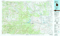
 1965 Altamont1967 Print · USGSAltamont and the surrounding Duchesne County high desert are captured here in the mid-1960s, showing a landscape shaped by irrigation and ranching. Genealogists and local historians can locate the P X Ranch, the High Sch, and the local Cem near Mt Emmons.
 - 1982 Map of Duchesne, 1987 Print
 1982 Duchesne1987 Print · USGSThe high plateaus and river basins of eastern Utah are captured here in the early 1980s, showcasing the region's vital water systems and tribal lands. Researchers can trace the development of the Uintah and Ouray Indian Reservation and locate old crossroads like Tabiona and Upalco.
 - 2010 Map of Altamont, 2010 Print
 2010 Altamont2010 Print · USGSCovers Boneta, including Altamont, Mount Emmons, and other nearby areas
 - 2014 Map of Altamont, 2014 Print
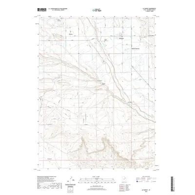
 2014 Altamont2014 Print · USGSCovers Boneta, including Altamont, Mount Emmons, and other nearby areas
 - 2017 Map of Altamont, 2017 Print
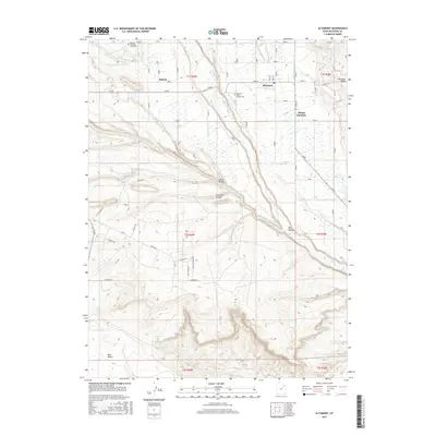 2017 Altamont2017 Print · USGSCovers Boneta, including Altamont, Mount Emmons, and other nearby areas
 - 2020 Map of Altamont, 2020 Print
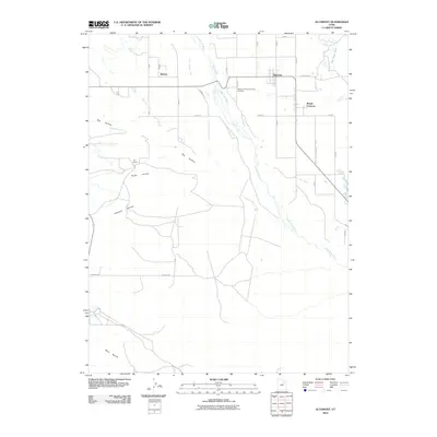
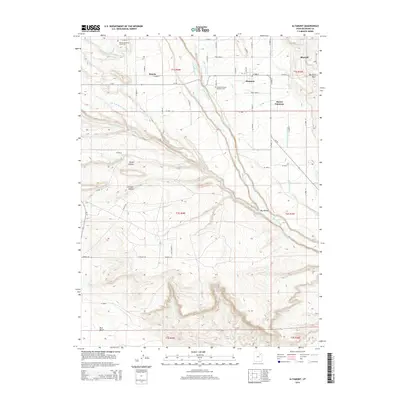
 2020 Altamont2020 Print · USGSCovers Boneta, including Altamont, Mount Emmons, and other nearby areas
 - 2023 Map of Altamont, 2023 Print
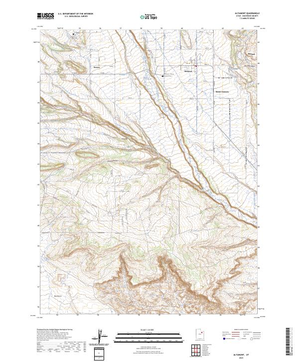 2023 Altamont2023 Print · USGSThe agricultural settlements of the Uinta Basin are captured in this recent survey. Researchers can trace family history at the Altamont - Mount Emmons Cem or follow the vital irrigation paths of the Lake Fork River and Lake Fork Western Canal.
End of results
Showing maps 1-12 of 12
Top cities near Boneta
Frequently asked questions
- What are the different types of historical maps available for Boneta?
- What is the oldest map of Boneta?
- Where can I purchase historical maps of Boneta for my home or office?
- Where can I download high-res historical maps of Boneta?
- Are there historical topographic maps available for Boneta?
- Is there historical aerial imagery available for Boneta?
- Where are historical maps of Boneta sourced from?